Entry Type: Place

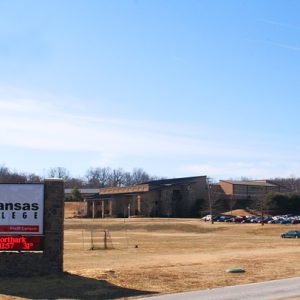
North Arkansas College (Northark)

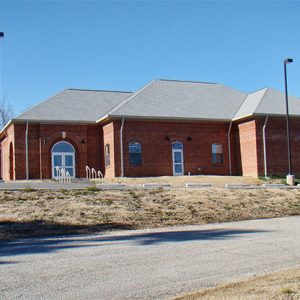
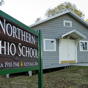
North Arkansas College (Northark), a public two-year college created in 1974 and located in Harrison (Boone County), serves the citizens of Boone, Carroll, Marion, Searcy, Newton, and Madison counties. Originally known North Arkansas Community College, Northark was created to offer the first two years of most baccalaureate degree programs at an affordable price in response to community needs. It added technical certificates and degree majors with its merger in 1993 with Twin Lakes Vocational-Technical School, also located in Harrison, and is now a comprehensive community college. Northark has three campuses in Harrison. Under the leadership of founding president Dr. Bill Baker, Northark grew steadily. Dr. Jeffery R. Olson was selected on March 2, 2001, as the second president of Northark. …

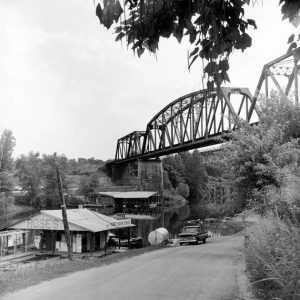
North Fork River

North Fork River drains an area of about 1,830 square miles in Missouri and Arkansas and is about 110 miles long. Its headwaters begin in Wright County, Missouri, near the town of Mountain Grove. From there, it flows generally south through Douglas and Ozark counties, Missouri. About the last half of its length is in Baxter County, Arkansas. The U.S. Army Corps of Engineers impounded the North Fork with the construction of Norfork Dam near the town of Norfork (Baxter County). Norfork Dam was the first of several Corps of Engineers flood control and hydropower dams on the White River and its tributaries. Variant names for the river have included Big or Great North Fork of White River, North Fork …

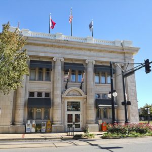
North Little Rock (Pulaski County)

aka: Argenta (Pulaski County)
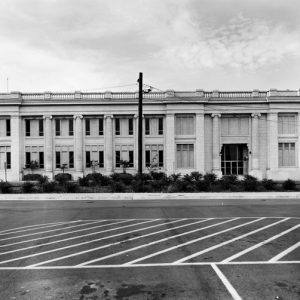
North Little Rock is the state’s sixth-largest city (as of 2010), though once the second largest, with historical ties to the transportation industry and the military. Before railroad companies spurred the growth of a town of mills, stockyards, and small businesses in the last three decades of the nineteenth century, the flood-prone north side of the Arkansas River across from Little Rock (Pulaski County) had few residents. But starting in the 1820s, its ferry and riverboat terminals prospered at a junction of roads on routes between St. Louis, Missouri, or Memphis, Tennessee, and Texas or Oklahoma. The military continues to have an economically viable relationship with central Arkansas, with Fort Logan H. Roots atop Big Rock Mountain since 1897; Camp …

Northwest Arkansas National Airport (XNA)
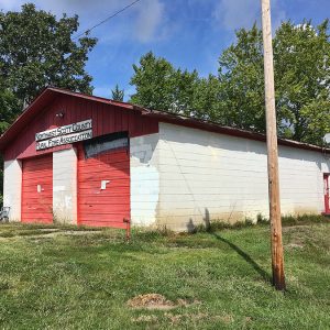
Northwest Arkansas National Airport, or XNA after its International Air Transportation Association (IATA) code, is located in Highfill (Benton County) and is roughly equidistant from Bentonville (Benton County), Fayetteville (Washington County), Rogers (Benton County), Siloam Springs (Benton County), and Springdale (Washington County). It is a mixed-use airport with both commercial and private airplanes. It has the second-largest amount of scheduled commercial service in the state of Arkansas. Local business leaders including Sam Walton, founder of Walmart Inc., and several local and state elected officials joined together to push for a new airport. Due to the rapid growth in population and business (especially the continued expansion of Walmart Inc.), Drake Field, located outside of Fayetteville, was deemed no longer adequate for …

Norvell (Crittenden County)

Norvell was an incorporated town in western Crittenden County located just southeast of the Tyronza River, about one mile east of the Cross County line. In 1862, Dr. James Throgmorton arrived in what would become Norvell. In later years, he described the landscape as “a dense forest inhabited by bears, wolves and panthers,” adding that “it remained so until 1888.” The raw wilderness with abundant virgin timber invited settlement and commercial growth during the timber boom that swept Arkansas following the Civil War. This growth gave rise to Norvell and its larger neighbor Earle (Crittenden County), which were settled simultaneously and shared many of the same business and civic leaders. Population in the area was sparse until the 1880s, when the …

O’Kean (Randolph County)

  The town of O’Kean (Randolph County) first developed in the Black River bottoms, the area to the south and east of the Black River in Randolph County, shortly after the Civil War. Attracted by plentiful game and productive ground, most pre-war settlers in the area lived near the road from Pocahontas (Randolph County) to old Greensboro (Craighead County) and Gainesville (Greene County), or along the Cache River. The history of the actual settlement and naming of O’Kean remains clouded. There were settlers near the junction of the track and road, but the name of that settlement, if it had one, is unknown. The name O’Kean came from Father James O’Kean, the former priest of St. Paul’s Catholic Church. He …

O’Neal (Independence County)

The O’Neal Cemetery is all that remains of a once vibrant river and railroad community located across the White River from Marcella (Stone County). Going west on Highway 106 through Bethesda (Independence County), the O’Neal Road leads to O’Neal, which is about four miles from Bethesda. In territorial days, O’Neal was in Ruddell Township, but it later became part of Washington Township. O’Neal lies on both the Union Pacific Railroad tracks and the White River, south of Lock and Dam No. 3. The rich bottomland around O’Neal is still farmed on both sides of the river. O’Neal is about twelve miles west of Batesville (Independence County), the county seat. O’Neal was founded and first settled during territorial days by John …

Oak Bower (Hot Spring County)

Oak Bower is an unincorporated community in Hot Spring County. Located about two miles south of Bismarck (Hot Spring County) and twelve miles northwest of Arkadelphia (Clark County), the community is closely associated with Bismarck and DeGray Lake. Early settlers in the area included Peter Prince, who obtained 320 acres as a federal land patent in 1859. The land was in Clark County at the time and became part of Hot Spring County in 1873. The Alabama native married Mary Williams in 1855, and the couple had at least four children. Other early settlers included Dougal Johnson, who obtained 160 acres south of the Prince settlement in 1860. The final land patent issued for the area went to George Magby …

Oak Grove (Carroll County)

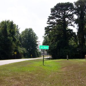
Oak Grove is a town in northern Carroll County, located at the intersection of State Highways 21 and 103. A narrow strip of land in the town runs north along Indian Creek to the Missouri state line. The town is one of twelve communities in Arkansas identified as Oak Grove, and the only one to be incorporated. When a community in Greene County sought to incorporate with the same name in 1979, it was forced to incorporate as Oak Grove Heights. The forested Ozark Mountains have been sparsely inhabited for centuries. At the time of the Louisiana Purchase in 1803, the area was frequently visited by the Osage, who lived farther north but came into what would be Arkansas to …

Oak Grove Heights (Greene County)

Oak Grove Heights is a second-class city located on State Highway 135 four miles north of Paragould (Greene County). It was incorporated in 1979, roughly a century after the community came into being, and consists largely of residences for workers in neighboring communities of Greene County. The wilderness area immediately east of Crowley’s Ridge remained almost entirely uninhabited until after the Civil War, when the railroad industry began to open previously inaccessible regions of Arkansas. When the city of Paragould was established at the intersection of the Cotton Belt and Iron Mountain railways, many of the citizens of Gainesville (Greene County) relocated to the newer city, making it the county seat in 1884. Meanwhile, other settlers came to Arkansas to …

Oak Grove[s] (Clark County)

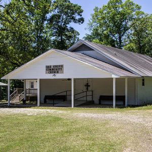
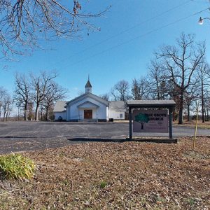
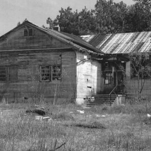
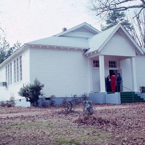
At least three communities in Clark County have had the name Oak Grove. One is located in the southeastern corner of the county, one is located in the northwestern portion, and one was located near the middle of the county. Oak Grove Community Church served as the center of the community in the southeastern part of the county. Located near the Kansas (Clark County) community, the church was organized at an unknown date in the late nineteenth century. Serving as both a church and a school, the original building was constructed of split logs. This building burned around 1902. A replacement was constructed and continued to operate until the late twentieth century. In 1992, the church was still used for …

Oakhaven (Hempstead County)

Oakhaven is a town on State Highway 32, a few miles north of Hope (Hempstead County). Originally built as housing for officers serving at the Southwestern Proving Ground during World War II, Oakhaven has never had a post office or a school. Hempstead County was home to some of the most important communities of southwestern Arkansas in the early years of statehood. Fulton (Hempstead County) was an important port on the Red River and once served as the gateway to Mexico—later to Texas—while Washington (Hempstead County) was the county seat and an important city on the Southwest Trail; Washington even served as the Confederate state capital after Little Rock (Pulaski County) was captured by Federal forces in 1863. After the …

Oakland (Marion County)

Oakland is a populated unincorporated community in North Fork Township on State Highway 202 about twenty miles northwest of Mountain Home (Baxter County). Once a small village near the Little North Fork River’s confluence with the White River, Oakland was moved a few miles east in the late 1940s when the White was being dammed to create Bull Shoals Lake. The area was hunting territory of the Osage and earlier tribes, and archaeologists working at Oakland in 1948–1949 found possible evidence of small villages from the Woodland and Mississippian periods. White settlers—including the Yocham, Trimble, Coker, Graham, and McGarrah families—arrived in the 1810s. The explorer Henry Schoolcraft stayed overnight at the McGarrahs’ cabin in December 1818 and was given food …

Oakland Cemetery

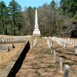
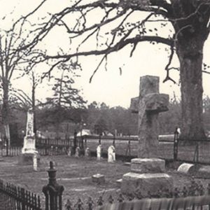
Oakland Cemetery in Camden (Ouachita County) was the first cemetery of that city and is on the National Register of Historic Places. It encompasses approximately twenty acres and has approximately 683 graves. The cemetery’s Forrest Hill entombs Confederates who died in battle near Camden at both the Engagement at Poison Springs on April 18, 1864, and the Action at Marks’ Mills on April 25, 1864. The land for the cemetery was donated by Major William Bradley in the early 1830s. The first known grave bears a monument reading, “First grave in Cemetery. The body of an unknown little girl who died on a flat bottom boat on the Ouachita River was buried before 1840. Chain around the grave was from …

Oakland-Fraternal Cemetery

aka: Oakland & Fraternal Historic Cemetery Park
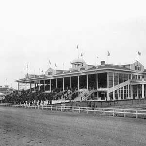
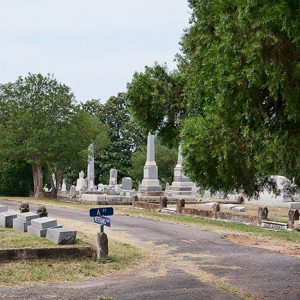
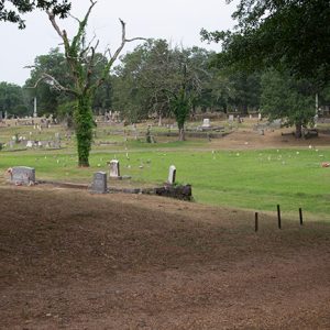
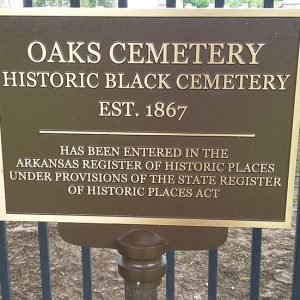
Oakland & Fraternal Historic Cemetery Park was established in 1862 when the City of Little Rock (Pulaski County) purchased a 160-acre estate in order to accommodate the Civil War dead. Through the years, this 160-acre estate has been carved into seven distinct cemeteries: Oakland, National, an eleven-acre Confederate, a one-acre Confederate, Fraternal, Jewish Oakland, and Agudath Achim. Today, 108 acres of the original 160 remain as burial grounds. The cemeteries have seen more than 62,000 burials since the first in 1863. The land was originally “christened Oakland, probably because the site which was chosen for it was natural forest, wooded principally with oaks,” according to an 1862 Arkansas Gazette article. The need for a city cemetery then, during the Civil …

Oaklawn Racing Casino Resort

aka: Oaklawn Park Racetrack
aka: Oaklawn Jockey Club
aka: Oaklawn Racing and Gaming
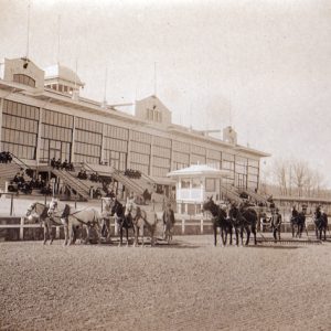
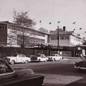
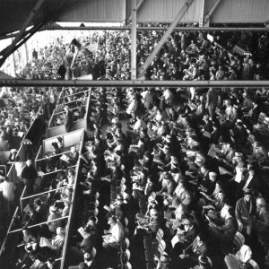
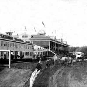
Even before the Civil War, the former pasture where Oaklawn Racing Casino Resort now stands in Hot Springs (Garland County) was home to impromptu races between local farm boys riding their fastest ponies. Today, the track is Arkansas’s only thoroughbred horse racing venue and the lone remaining gambling center in a city once known as much for its casinos as for its famous thermal baths. The popularity of Sportsman’s Park, built on the southeastern edge of Hot Springs in the early 1890s, sparked an interest in developing the sport of thoroughbred horse racing in the area. Following the 1903 repeal of anti-gambling laws, Essex Park was built in 1904. Charles Dugan, Dan Stuart, and John Condon—owners of the Southern Club—decided …