Counties, Cities, and Towns

Entry Category: Counties, Cities, and Towns

Mount Moriah (Hot Spring County)

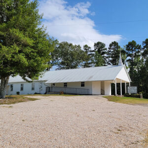
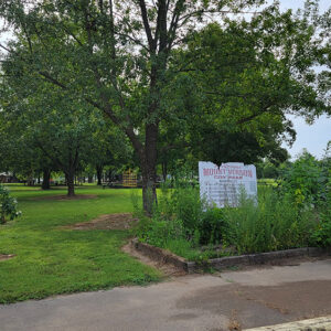
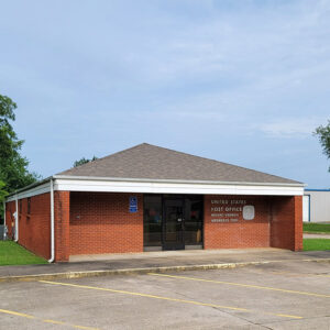
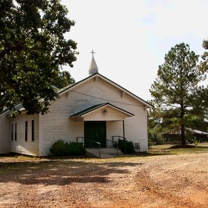
Mount Moriah is an unincorporated community located in far western Hot Spring County. The community is closely associated with the nearby communities of Bonnerdale (Hot Spring County) and Cross Roads (Hot Spring County). Located at the intersection of Mount Moriah Road and U.S. Highway 70, the community is centered on Mount Moriah Missionary Baptist Church. Located less than two miles northeast of Bonnerdale, the community is about four miles southwest of Pearcy (Garland County) and only a few hundred feet from the Garland County–Hot Spring County line. The area around Mount Moriah was part of Clark County when the Arkansas Territory formed in 1819. With the establishment of Hot Spring County on November 1, 1829, the area became part of …

Mount Moriah (Nevada County)

Mount Moriah (Nevada County) is an unincorporated community located in Caney Township along U.S. Highway 371. The community is about three miles southeast of Laneburg (Nevada County) and eleven miles southeast of Prescott (Nevada County). Mount Moriah served as the first seat of Nevada County, although only temporarily. Early settlers in the area included John and Daniel Morrison, who obtained more than 185 acres of land in the area in 1837. John Dillard obtained 120 acres in 1857. William Dillard obtained more than 107 acres two years later. Mount Moriah’s post office opened in 1844. It closed in 1918, and the community is served by the office located in Rosston (Nevada County) in the twenty-first century. Established on March 20, …

Mount Pleasant (Izard County)

The town of Mount Pleasant was established in extreme northwestern Independence County shortly after the close of the Civil War. However, changes in the Izard/Independence county line in 1873 caused the town to be shifted to Izard County. In the twenty-first century, Mount Pleasant is one mile from Independence County and about two miles from Sharp County. One of the pioneer trails into the interior of Izard County followed Poke (or Polk) Bayou from Batesville (Independence County) northward and then traced Barren Fork Creek northwest toward present-day Melbourne (Izard County). During the 1860s, a new trail was cut one mile south of the creek and passed by the log home of Milton L. Shaver. Soon, the Shaver family converted one …

Mount Vernon (Faulkner County)

Mount Vernon is a town in northeastern Faulkner County, located on Highway 36. It is home to the high school of the Mount Vernon–Enola School District. Even before the Civil War, several families had settled in northern Faulkner County. Breean Hawkins, Dick Fears, and Tom House were among the settlers in the area. A grist mill was built in 1851, and Fears opened a store next to his log cabin before 1860. When the war began, Fears closed his store and led a group of volunteers to join the Confederate army. Fears survived the war but died in an accident in 1865 while building a cotton gin. House, a cotton farmer, took over Fears’s store. Around the same time, a …

Mountain Home (Baxter County)

Mountain Home, a small town whose origins date back to the early nineteenth century, is located in north-central Arkansas on a plateau in the Ozark Mountains. The natural beauty of nearby Norfork and Bull Shoals lakes and the surrounding countryside has attracted tourists from around the country for many years. In addition, educational institutions have always played a prominent role in the life of the community. Louisiana Purchase through Early Statehood The town was originally known as Rapp’s Barren or Talbert’s Barren. Sources differ on the origin of this name. Local historian Bill Dwayne Blevins attributes the origin to one Henry Rapp, whom he cites as the first permanent white settler, who arrived in the area around 1810. However, other …

Mountain Pine (Garland County)

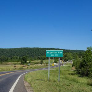
Mountain Pine was the second-largest community in Garland County, behind Hot Springs, from the 1930s through the late 1970s. During that time, it was a typical company mill town of the forested South. Established in the late 1920s by Dierks Lumber and Coal Company (later Dierks Forests, Inc.), Mountain Pine remains as the most visible reminder of the Dierks company’s legacy in Garland County. Dierks Brothers Company was founded in the 1880s by Hans, Herman, Peter, and Henry Dierks, sons of German immigrant Peter Henry Dierks. In 1895, the company became Dierks Lumber and Coal Company, which owned and operated numerous lumber yards in Iowa and Nebraska. By 1900, the Dierks brothers owned twenty-four lumber yards in the Midwest. In …

Mountain View (Stone County)

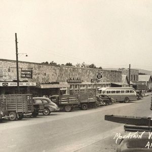
Situated in the Ozark Mountains of north-central Arkansas, Mountain View is an isolated community that has long been known for its preservation of traditional folk music and culture. The Mountain View area attracts thousands of visitors each year, with features including the Ozark Folk Center, Blanchard Springs Caverns, the White River, and the Ozark National Forest, as well as the unique musical gatherings on the courthouse square. The Gilded Age through the Early Twentieth Century Until the Civil War, the area now known as Stone County was part of Izard County; no city of Mountain View existed and very few settlers resided on its soil. However, when Stone County was formed in 1873, a site at the center of the …

Mountainburg (Crawford County)

Mountainburg is located on U.S. Highway 71 near Lake Fort Smith State Park, on the Boston Plateau of the Ozark Mountains. Known to tourists for its scenic mountain views, Mountainburg has been a landmark for travelers throughout its history. Between 1817 and 1828, the land around Mountainburg was included in territory assigned by the U.S. government to the Cherokee. After the Cherokee were removed to Indian Territory (now called Oklahoma), white settlers began to claim the land. One of the first landowners in what would become Mountainburg was George Dyer. Another was Samuel Caswell Vaught, a German-American veteran of the wars with various Native American tribes in the southern states and territories. Vaught was the father of seven sons, four of whom …

Mozart (Stone County)

The community of Mozart is located between Timbo (Stone County) and Fox (Stone County) in Union Township of Stone County on Highway 263 near Lick Fork Creek. The hilly, wooded, rocky-soil terrain of the region attracted no permanent settlers until the passage of the Homestead Act of 1862. A few sturdy subsistence farmers trickled in and grew a few crops, mainly grain, along Meadowcreek and the Little Red River. The community that would eventually become Mozart developed as an extension of Timbo and Fox. The two cemeteries close to Mozart are the Ramsey and Roby cemeteries, with many tombstones bearing names of families living in Timbo and Fox. The Mozart post office opened in 1926. Before it opened, mail was …

Mulberry (Crawford County)

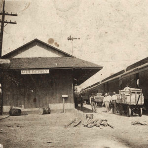
Located in the Interstate 40 corridor, Mulberry is positioned near cultural and business activities in northwest Arkansas. It is a center of recreation surrounded by rich farmland in the Arkansas River Valley. Louisiana Purchase through Early Statehood Although the area where modern-day Mulberry is located had been given by treaty to Spain at the close of the French and Indian War in 1762, Jean Baptiste Dardenne, a French settler, surveyed the land and laid claim to much of it, though he probably settled farther down the river. White settlers began arriving in the Mulberry area near the time of the Louisiana Purchase. Early settlers called the stream passing through “Mulberry” because of the large mulberry trees lining its banks. Dardenne …