 Gaines Cafeteria
Entry Category: Counties, Cities, and Towns - Starting with G
Gaines Cafeteria
Gainsboro (Independence County)
Gainsboro is located between Pfeiffer (Independence County) and Moorefield (Independence County), about seven miles east-northeast of Batesville, the county seat. The community, which never had a post office, grew out of Sharp’s Cross Roads, located about one and a half miles north-northwest of Gainsboro; Sharp’s Cross Roads was earlier called Rust’s. The historic community of Gainsboro is located on Watson Road just south of its junction with Highway 25 (White Drive). Gainsboro likely received its name from the Gaines family, which was farming in the area before the Civil War. A short-lived post office was at Rust’s (1856–1859), with John David McKinney postmaster, but it was replaced by the Sharp’s Cross Roads post office established in 1859, with Samuel Y. …
Galley Rock
aka: Galla Rock (Pope County)
Galley Rock in Pope County is a two-mile shale bluff that rises almost forty feet high on the north bank of the Arkansas River, just northwest of Petit Jean Mountain. It was a natural landmark for early explorers and settlers. The area was a site for Cherokee settlers of the early 1800s and became a thriving river town in the 1830s. However, by the 1870s, the town experienced a decline, and all that remains today is the town cemetery. During the late 1700s, river travel was the safest and most reliable mode of transportation. French explorers and trappers navigated the Arkansas River with only striking, geologic features marking the locations of their trading posts and hunting camps. Galley (or Galla) …
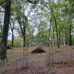 Galley Rock Cemetery
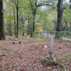 Galley Rock Cemetery
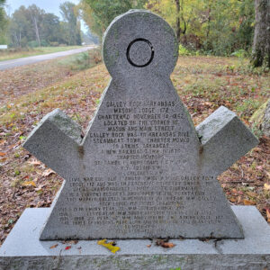 Galley Rock Masonic Marker
Galloway (Independence County)
Galloway is a historic community shown on an 1860 map of Independence County. It was located southeast of Sulphur Rock (Independence County) in the alluvial bottoms of the Black and White rivers and north of historic Akron (Independence County) near the Magness Ferry, lying between Newark (Independence County) and Cord (Independence County) on what is today Galloway Road. The road crosses Dota Creek. The community received its name from Robert M. (Bob) Galloway, who was appointed its postmaster on November 9, 1858. Robert Galloway married Harriet Robbins in Shelby County, Tennessee, in 1843 and moved the family to the Big Bottom region in the 1850s shortly after his father’s death. The 1860 census shows Galloway to be a slave owner …
 Gamaliel Street Scene
 Gann House
Garfield (Benton County)
Garfield is a town in Benton County, located just east of the Pea Ridge National Military Park. Named for James Garfield, the twentieth president of the United States, the community first rose to prominence as a railroad depot used for shipping water and fruit. After years of decline following the Depression, the town revitalized in the late twentieth century with the growing population of the county. The earliest settler at the location that would become Garfield was James Jackson, who arrived around 1839. Other families that settled in the area before the Civil War include those of Benjamin Mahurian, Joshua Brotcher, and Archibald Blansett. The Battle of Pea Ridge, fought March 7–8, 1862, near the present location of Garfield, was a …
 Garfield Church
Garland (Miller County)
The city of Garland is on the Red River in eastern Miller County. U.S. Highway 82 crosses the river at Garland, as do the tracks of the old Cotton Belt Railroad. The city is often referred to as “Garland City.” The first and most famous resident of the area was William Wynn, who arrived at the banks of the Red River and established a farm around 1835. At that time, confusion about the border between Arkansas and Texas and uncertainty about the size of Miller County resulted in many records placing Wynn’s land in Lafayette County. Wynn bought many acres of land, on which he grew cotton and other crops. By 1850, according to census records, he owned ninety-six slaves. …
Garland County
Garland County, in the heart of the Ouachita Mountains, is home to the nation’s first federal reservation, which later became Hot Springs National Park. It has a diverse economy supported by strong tourism, forestry, manufacturing, and regional medical facilities. Pre-European Exploration The first inhabitants of the area to be called Garland County arrived about 12,000 BC, and this region was occupied by native people until about AD 1600. Although they had left the area before the first white American pioneers arrived, artifacts indicate that the native residents were related to historic Caddo Indians. Pioneer archaeologist Mark R. Harrington dug into several sites along the Ouachita River. At some locations, he found burned buildings buried under low mounds that were built …
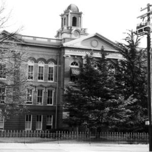 Garland County Courthouse
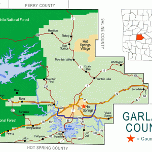 Garland County Map
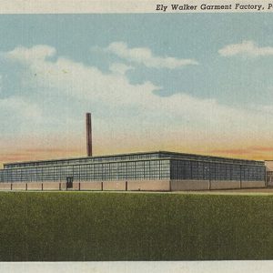 Garment Factory
Garner (White County)
Garner is a town in southern White County on Highway 367, not far from Highway 67. Though the area was first settled around 1850 and became a stop on the Cairo and Fulton Railroad in the nineteenth century, the town did not incorporate until 1971. William Brown Walker received legal title to land in White County in 1841, and by 1850, he had built a house and established a cotton farm on that land. His homestead, with several houses added over the years, was placed on the National Register of Historic Places in 1992. Walker and his family owned slaves until the Civil War; after the war, some of the freed slaves remained on the land as tenant farmers. The …
 Garner City Hall
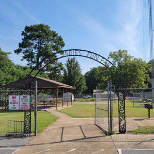 Garner Park
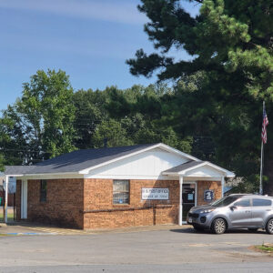 Garner Post Office
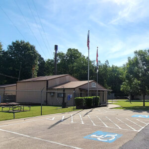
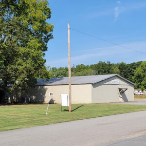 Garner Recreational Center
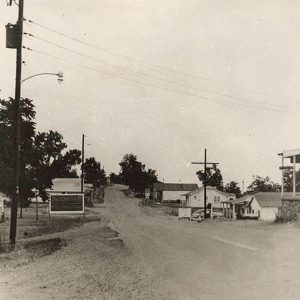
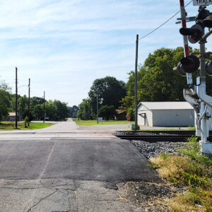 Garner Street Scene
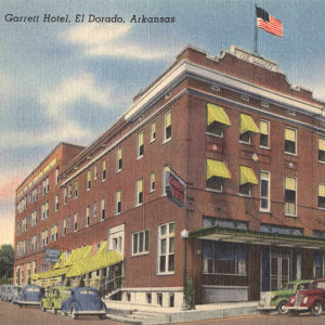 Garrett Hotel
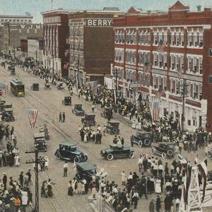 Garrison Avenue
 Garrison Avenue
 Garrison Avenue
Gassville (Baxter County)
Gassville of Baxter County has a history of settlement beginning in the 1840s. Its level, fertile plain and proximity to the White River made it an ideal location for families to build their homes. It was near enough to the river to provide transportation for marketing crops and far enough from the water to have a healthful climate. The area was originally called “Turkey’s Neck” because of the shape of the bend of the White River. The Mount Pleasant Baptist Church (later the Gassville First Baptist Church) was organized in 1868, making it the second-oldest church in Baxter County. In 1869, twenty-one families arrived by wagon train from Cherokee County, Georgia, led by James Coffee. His father, Colonel James A. …
 Gassville Baptist Church
 Gassville Post Office
Gate (Scott County)
The town of Gate is a historical community that was located in southern Scott County near the Polk County border. The community was originally established along a gated toll road (now Nella Road) and was subsequently named because of the actual “gate” that controlled the flow of traffic along the road. Gate was originally situated between the junction of Johnson Creek and Cedar Creek, which are tributaries of the Fourche La Fave River. Prior to European exploration, Gate was a wilderness lush with native vegetation and numerous species of wildlife, some of which no longer inhabit the area. Early inhabitants of the area were present during the Woodland, Archaic, and Mississippian periods. There are numerous archaeological sites located along Clear …
Gateway (Benton County)
Gateway is a town in northeastern Benton County. The town’s northern boundary is the state line with Missouri. Gateway is located on U.S. Highway 62, and its existence is largely a result of the highway. Although some claim that the name of the town reflects its relationship to people entering Arkansas from Missouri, the town actually was named for an arch over the highway that read, “Gateway to Eureka Springs.” Prior to the arrival of European explorers and American settlers, the Ozark Mountains were inhabited, but only sparsely. By the time of the Louisiana Purchase in 1803, the primary human residents were occasional visitors, especially the Osage of Missouri who came south into the Ozarks to hunt and fish. American …
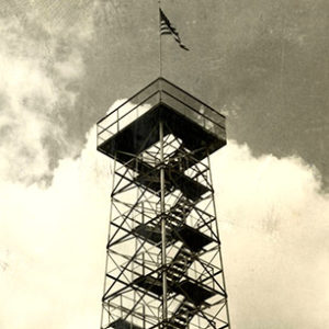 Gaylor Mountain Tower
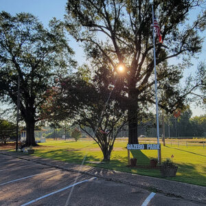 Gazebo Park
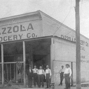 Gazzola Grocery
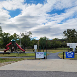 Geneva Park
Gentry (Benton County)
The city of Gentry, located in Benton County, was created in 1894 along the line of what eventually became the Kansas City Southern Railroad (KCS), established by Arthur E. Stilwell and designed to connect Kansas City, Missouri, with Port Arthur, Texas. At the time, the area was undergoing an economic boom due to the cultivation of orchard fruits, primarily apples, and the railroad connection made Gentry an important shipping point for fruit; the town was even called Orchard at one point. The post office opened on May 21, 1894. A newspaper, the Gentry Journal, began printing in 1894, though it was soon renamed the Journal-Advance. The city formally incorporated on July 9, 1898, named for the president of the railroad. …
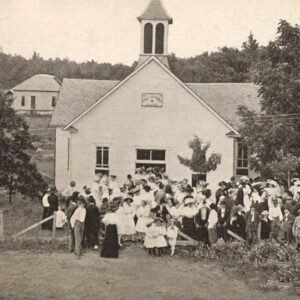
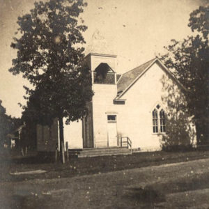 Gentry Church
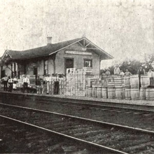 Gentry Depot
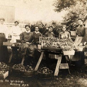 Gentry Peaches
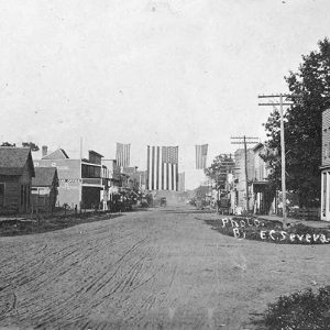 Gentry Street Scene
Georgetown (White County)
Georgetown is a small town located on the White River in the extreme southeastern corner of White County, about seventeen miles southeast of Searcy (White County). White County historians claim it to be the oldest existing town in Arkansas and only the second settlement established in the state, after Arkansas Post. Georgetown traces its establishment as a town to the arrival of its first permanent settler in 1789. Georgetown received its current name in 1909 in honor of three men from Clarendon (Monroe County) surnamed George who, a few years earlier, had purchased, sold, and developed land in the town. The town was previously called Francure Township, as well as Negro Hill or Nigger Hill, probably indicative of the first …
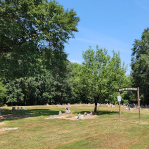 Georgetown Cemetery
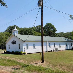 Georgetown Church
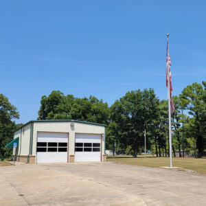 Georgetown Fire Department
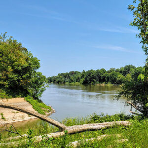 Georgetown River Access
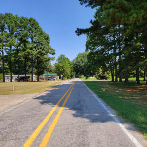 Georgetown Street Scene
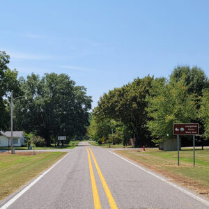 Georgetown Street Scene
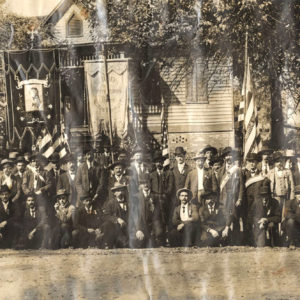 German Day Parade
Gibson (Pulaski County)
Gibson is an unincorporated community in northern Pulaski County, between Camp Joseph T. Robinson and the Sherwood (Pulaski County) neighborhood of Gravel Ridge. Within the boundaries of Gibson are the silver deposits from which North Little Rock (Pulaski County) derived its alternate name of Argenta (after the Latin word for silver). After the territorial capital was moved from Arkansas Post (Arkansas County) to Little Rock (Pulaski County) in 1821, settlers began to acquire land around the growing city, including land north of the Arkansas River. Most of these settlers were farmers growing cotton or subsistence crops, and many used land grants from the War of 1812 to take possession of their land. Among the earliest to claim land in the future location of Gibson …
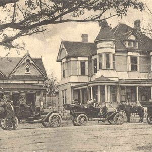
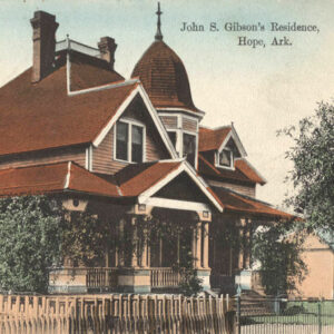 Gibson Residence


