Municipal Designations
The State of Arkansas recognizes its incorporated communities in three separate categories: cities of the first class (or first-class cities), cities of the second class (or second-class cities), and towns. These categories are mostly determined by the population of the communities and the size of the city or town government. According to the Arkansas Municipal League, there are 502 incorporated cities and towns in Arkansas as of October 2019. According to Arkansas statutes as of 2019, a first-class city has more than 2,500 residents (although a second-class city with more than 1,500 residents may vote to become a first-class city). A second-class city has from 500 to 2,500 residents (although a town may vote to become a second-class city). A town …
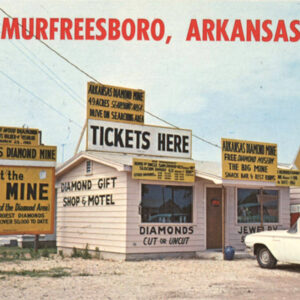 Murfreesboro Postcard
  Murphy Oil
 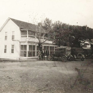 Murray's Hotel
 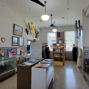 Museum Display
 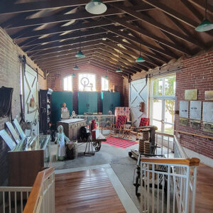 Museum Display
 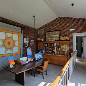 Museum Display
 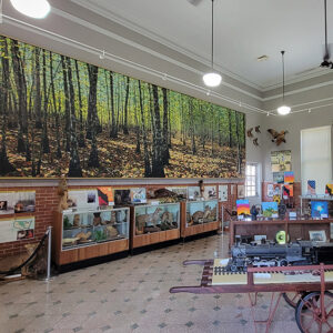 Museum Displays
 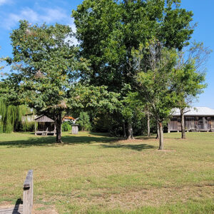 Museum Grounds
 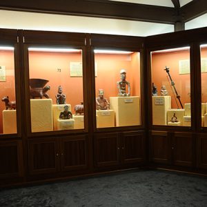 Museum of Native American Artifacts
 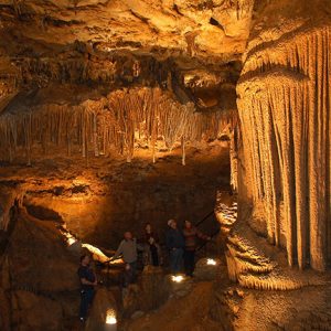 Mystic Caverns
  Napoleon Map
 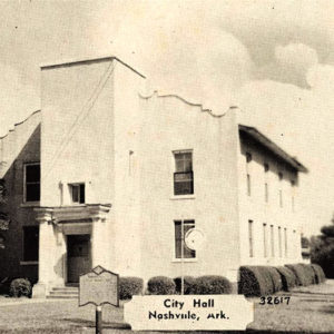 Nashville City Hall
 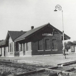 Nashville Depot
 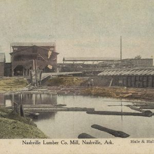 Nashville Lumber Company
 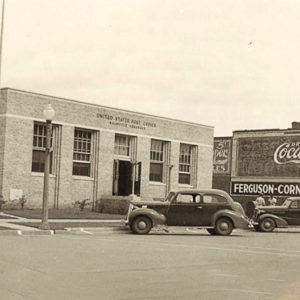 Nashville Post Office
 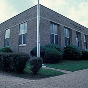 Nashville Post Office
 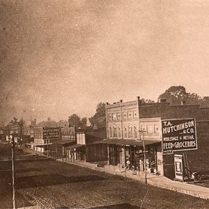 Nashville Street Scene
 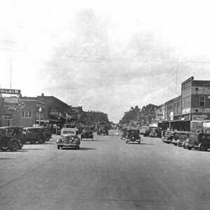 Nashville Street Scene
 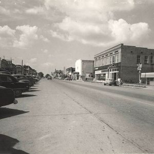 Nashville Street Scene
 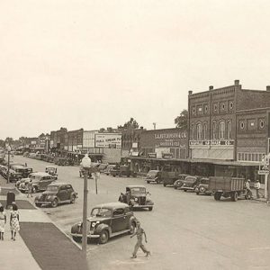 Nashville Street Scene
 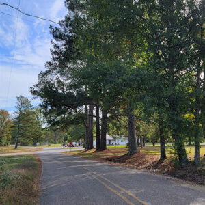 Entering Nathan
 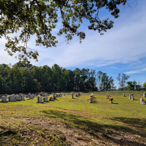 Nathan Cemetery
 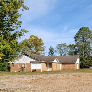 Nathan Church
 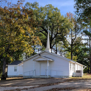 Nathan Church
 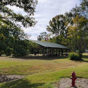 Nathan Pavilion
 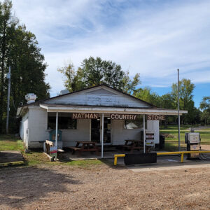 Nathan Store
 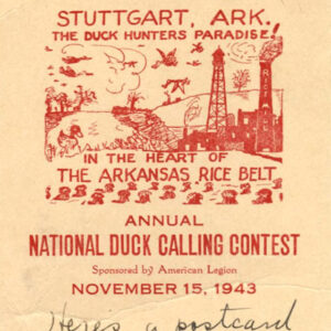 National Duck Calling Contest
 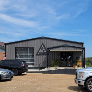 Native Dog Brewing
 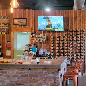 Native Dog Brewing
 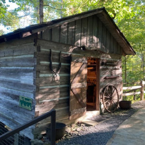 Natural Bridge Cabin
 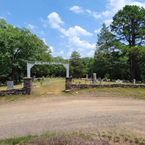 Need More Cemetery
 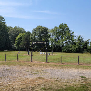 Nelson Cemetery
 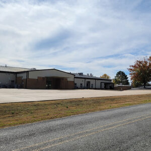 Nemo Vista Elementary School
 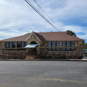 Nemo Vista School
 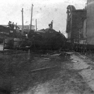 Nettleton Train Wreck
 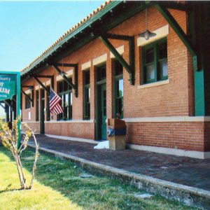 Nevada County Depot and Museum
 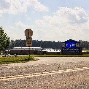 Nevada School District
 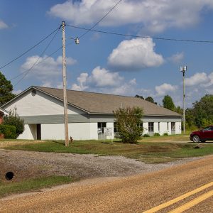 New Bethel AME Church


