Counties, Cities, and Towns

Entry Category: Counties, Cities, and Towns

Cherry Valley (Cross County)

The second-class city of Cherry Valley (Cross County) began as a small settlement near the junction of Cooper’s Creek and the Harrisburg Road sometime around the Civil War. The construction of north-south railroad tracks on the lowlands west of Crowley’s Ridge caused the town to move closer to the rails in the 1880s. An agriculturally rich area, Cherry Valley also capitalized on its position at the intersection of Arkansas State Highways 1 and 42. As of 2012, the town of 651 people primarily focuses on agriculture and related businesses. While the Casqui, Quapaw, Osage, and Cherokee, among others, probably traversed or claimed the Cherry Valley area over time, no actual signs of habitation exist. The Cherry Valley Mounds, located near …

Chester (Crawford County)

Surrounded by some of the higher peaks of the Ozark Mountains and by the Ozark National Forest, Chester is a town in northern Crawford County. Chester, once a timber town on the St. Louis–San Francisco Railway, later became a local tourist attraction. Interstate 49 passes near the town. Osage once traveled south to hunt and fish in northern Arkansas. The Ozark Mountains remained sparsely populated even after Arkansas became a state. The first settlers to own land at the future site of Chester were Solomon Rush and James Wright, both of whom purchased land grants from the federal government in 1854. However, a log cabin school had already been built in the area ten years earlier. Rush and Wright were …

Chickalah (Yell County)

Chickalah is an unincorporated community in the northeastern portion of Yell County located on Arkansas Highway 27, approximately nine miles west of Dardanelle (Yell County). The community is reportedly named after a man named Chikileh, a Cherokee leader who resided in the area in the late 1700s and early 1800s, making his home somewhere between Little and Big Chickalah creeks. In addition to the community and the creeks, Chickalah Mountain, a 925-foot peak, also bears this name. The peak is approximately twelve miles to the west of the Chickalah community near Spring Lake in the Ozark National Forest. Chickalah history is closely linked to the Harkey Valley (Yell County) and Sulphur Springs (Yell County) communities, both of which lie to the …

Chicot County

Chicot County is the southeasternmost county in Arkansas. It is bounded by Louisiana to the south and the Mississippi River to the east. The county is located in the heart of the Mississippi Delta; therefore, it is a prime location for agriculture, with some of the richest soils in the state. Because of this, the county continues to have strong ties to the land and is consistently one of the largest producers of cotton in Arkansas. With Lake Chicot as the largest natural lake in Arkansas and the largest oxbow lake in North America, the county provides residents and tourists with ample opportunities for year-round fishing. According to the 2020 Census, the county had a population of 10,208, with three …

Chidester (Ouachita County)

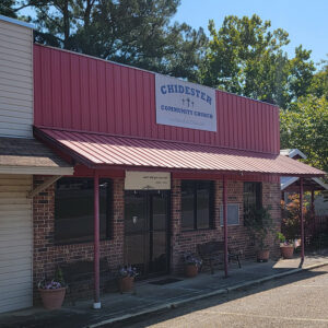
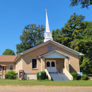
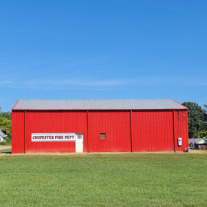
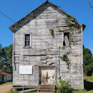
Chidester is a second-class city located in northwestern Ouachita County. Like many Arkansas cities that emerged in the nineteenth century, Chidester is a result of the railroad construction that brought many changes to the state. Jefferson Smith acquired land in the area that would become Chidester in 1858 and established a farm; he added an additional parcel of land to the west of his farm in 1860. Moses K. Robertson also owned land adjacent to Smith’s farm. During the Civil War, Smith served as a sergeant in Company D of Arkansas’s Thirty-third Confederate infantry between 1862 and 1864. His unit was active at Prairie Grove (Washington County), in the defense of Little Rock (Pulaski County), and also in the Red …

Chinn Spring (Independence County)

A popular place for church and social picnics in the late 1800s and early 1900s, Chinn Spring is located on Cave Creek in Ashley Township on Chinn Spring Lane just east of Polk (or Poke) Bayou. The community of Chinn Spring emerged near the spring. The Will Chinn Cave is located in this vicinity. Batesville (Independence County), the county seat, is located about five miles south of Chinn Spring. Today, the spring is located on private property owned by a Batesville businessman. John French Chinn was born in 1810 in Fauquier County, Virginia, where, in 1832, he married Lydia Elizabeth Byrne. Following the death of Chinn’s parents, the two moved to Ruddell (Independence County) around 1847. On the 1860 census, …

Chinquapin (Independence County)

Chinquapin is an unincorporated community in Washington Township of Independence County on Chinquapin Loop near its intersection with Earnheart Road. It is about two and a half miles south-southeast of Bethesda (Independence County) and about two miles from White River and Lock and Dam No. 2. It is approximately eight miles from Batesville (Independence County), the county seat. Chinquapin receives its name from the abundant Ozark chinquapin trees, sometimes called Ozark chinkapin and Ozark chestnut, that grew there. People ate the nuts, fed them to livestock, and sold them. The rot-resistant wood made excellent railroad ties and fence posts. Local folk artists even made musical instruments from the wood. Logging practices and a chestnut blight that struck the Ozarks in …

Clarendon (Monroe County)

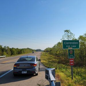
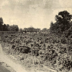
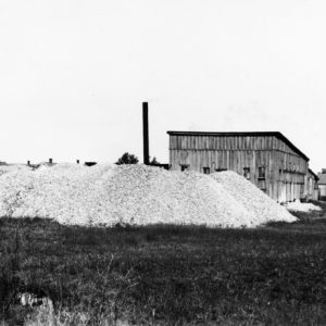
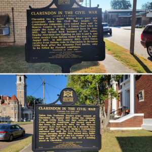
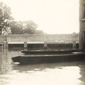
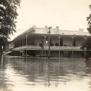
Clarendon is located on the White River near the mouth of the Cache River. It became an early settlement as a river town for transportation purposes, although frequent flooding plagued the community. European Exploration and Settlement through Early Statehood The area was settled around 1799 by French hunters and trappers who had established cabins at the mouth of Cache River before the Louisiana Purchase. Various accounts, without explanation, have stated that the town is named for the Earl of Clarendon of England. Constructed in the mid- to late 1820s, the Military Road from Memphis, Tennessee, crossed the White River at Clarendon to its destination in Little Rock (Pulaski County), increasing Clarendon’s importance as a river port. By 1828, a ferry crossing …