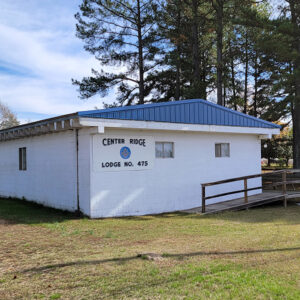
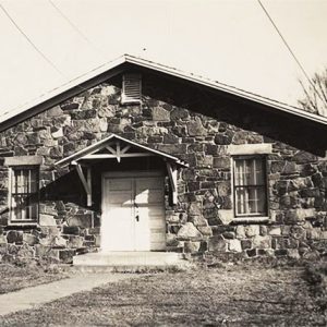
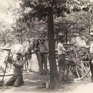
 Center Ridge Masons
Entry Category: Counties, Cities, and Towns
Center Ridge Masons
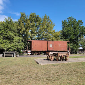
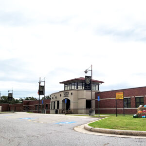
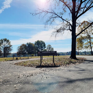
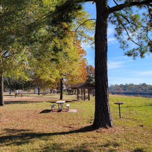
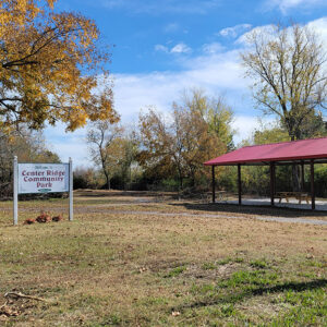 Center Ridge Park
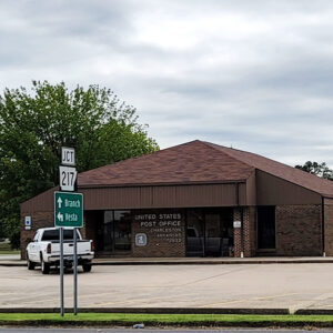
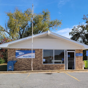 Center Ridge Post Office
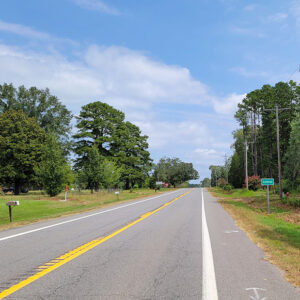
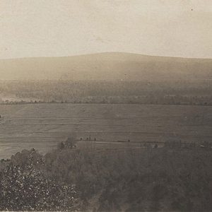
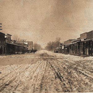
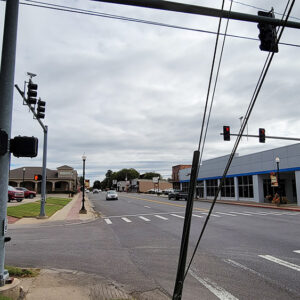
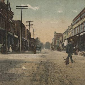
 Center Ridge Street Scene
Centerton (Benton County)
The city of Centerton, named for its location at the center of Benton County, was first established as a railroad stop and as a processing center for Benton County’s apple industry. The city declined in size by the middle of the twentieth century due to earlier troubles in the apple and railroad industries, but the rapid growth of Benton County brought about by the poultry industry and by Walmart Inc. has made Centerton a successful city in the twenty-first century. Louisiana Purchase through Early Statehood Northwest Arkansas was claimed as hunting territory by the Osage, who lived in Missouri, at the time of the Louisiana Purchase. Local historians believe that the Osage regularly visited the McKissick Spring, an early landmark …
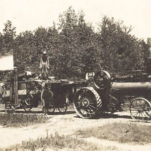
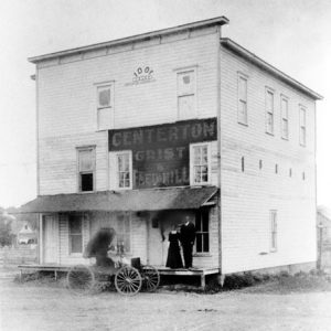 Centerton Grist and Feed Mill
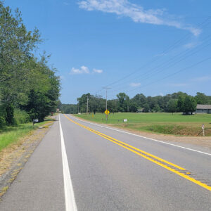
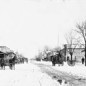
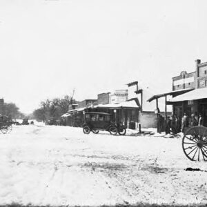
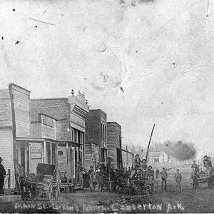 Centerton Street Scene
Central (Hot Spring County)
Central is a community located in Hot Spring County along U.S. Highway 67 about five miles south of Malvern (Hot Spring County). The community centered on the school that existed there in the early twentieth century. Early landowners in the area included John Ross and Sha Tah O Ka, who obtained land through the Treaty of Dancing Rabbit Creek, which took land from Choctaw east of the Mississippi River while giving them land in Arkansas and the Indian Territory. Ross received a total of 318 acres in 1851, with most of it around the Central area but with additional land in what is now White County and Cleveland County. In 1857, William Ballard obtained 160 acres in the area. More …
 Central Church
Central City (Sebastian County)
Located at the crossroads of Arkansas Highways 22 and 255 in Sebastian County, Central City is a suburb of nearby Fort Smith (Sebastian County), the second-largest city in Arkansas. The community borders the city of Lavaca (Sebastian County) to its east. Central City is bordered to its south by Fort Chaffee. In an effort to connect Fort Gibson with the early settlement of Fort Smith (on the edge of Indian Territory), the U.S. Congress made provisions to build a military road. This transportation route followed former Native American trails almost paralleling the Arkansas River and went directly through what became Central City. All of the “Five Civilized Tribes” (Seminole, Muscogee Creek, Choctaw, Cherokee, and Chickasaw) traveled through the area in the …
 Central Delta Depot Museum
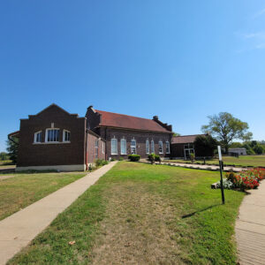 Central Delta Depot Museum
 Central Delta Depot Museum Train
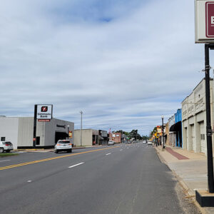
 Central Street Scene
 Central Street Scene
Chalybeate Springs (Stone County)
Chalybeate Springs (a.k.a. Chalybeate) is located in the township of Arbana about three and a half miles southwest of Pleasant Grove (Stone County) and about eleven miles southeast of Mountain View (Stone County), the county seat. The community is south of Misenheimer Road, near the confluence of Chalybeate Spring Creek and Little Raccoon Creek, off Tuttle Ridge Road. The locals pronounce the name of the community “Clee’-bit.” Chalybeate Spring is located at the foot of the Boston Mountains about two miles to the east of the Chalybeate community. It forms the waters of one of the small tributaries of Coon Creek, which flows into the Devil’s Fork of the Little Red River. Water from the spring was believed to have …
Champagnolle (Union County)
Champagnolle, located on a bluff on the west bank of the Ouachita River, was an important early 1800s shipping point and social center of southern Arkansas. At its peak in the 1850s, thousands of bales of cotton were shipped yearly as far away as New Orleans, Louisiana. Bypassed by the railroad in the 1890s, the town began a slow decline. Little of the once prosperous settlement survives. The first white settlers to the area were Lawrence, John, and Silas Scarborough, who were attracted by the potential of the river and the availability of potable water. Lawrence Scarborough built a home there and, in 1829, established Scarborough Landing on the river bank below a bluff. Others came, and soon a settlement …
 Champion American Beech
Chant (Scott County)
Chant is a historical community in southern Scott County located along Highway 71. At various times known as Pleasant Valley and Texas, the town was established in 1906 near the Fourche La Fave River and Mill Creek between Boles and Y City. Agriculture has contributed significantly to the economy and way of life in Chant. Prior to European exploration, the area surrounding Chant was a wilderness. Several species of wildlife that no longer inhabit the area, such as elk and buffalo, were present throughout the region. Numerous archaeological sites and burial mounds are located along the banks of prominent waterways such as the Poteau River. Archaeological findings have provided evidence of early inhabitants dating to the Archaic, Woodland, and Mississippian …
Charleston (Franklin County)
Charleston is one of the two county seats of Franklin County, along with Ozark. Located south of the Arkansas River, it is twenty-five miles east of Fort Smith (Sebastian County), near the coal and gas fields of northwest Arkansas, and roughly a mile from one corner of Fort Chaffee. Charleston is most known for being the first community in a southern state to desegregate its school system following the U.S. Supreme Court’s 1954 Brown v. Board of Education of Topeka, Kansas decision. Louisiana Purchase through Early Statehood Land south of the Arkansas River in western Arkansas was ceded to the United States by the Quapaw in 1818, granted to the Choctaw in 1820, and ceded back to the United States …
 Charleston Area
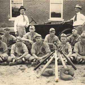 Charleston Baseball Team
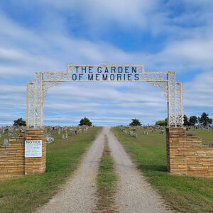 Charleston Cemetery
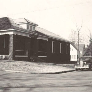
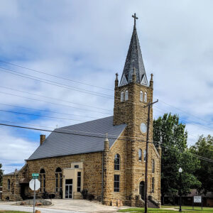 Charleston Church
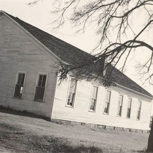 Charleston Church
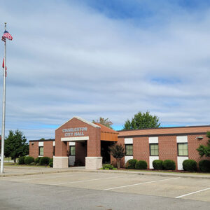 Charleston City Hall
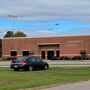 Charleston Community Center
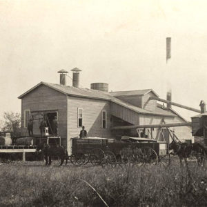 Charleston Cotton Gin
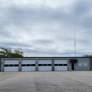 Charleston Fire Department
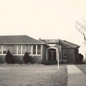 Charleston High School
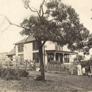 Charleston Home
 Charleston Hospital
 Charleston Legion Hut
 Charleston Middle School
 Charleston Post Office
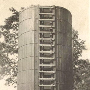 Charleston Silo
 Charleston Smith
 Charleston Street Scene
 Charleston Street Scene
 Charleston Street Scene
 Charleston Street Scene
 Charleston Street Scene
 Charleston Thrasher
Charlotte (Independence County)
Charlotte is located just off Highway 25 (a.k.a. White Drive) on Old School Road near the banks of Dota Creek, twelve miles east-northeast of the county seat of Batesville (Independence County) and about five miles west of Cord (Independence County). Rich farmland lies to the south of Charlotte in the Big Bottom alluvial lands along the Black and White rivers. There is also high-quality grazing land for cattle in the Charlotte region. Charlotte is in the township of Dota, which includes three churches—Cedar Grove Church, Center Grove Church, and Pleasant Hill Church. In 1852, seventeen-year-old James Northcroft Churchill crossed the Mississippi River from Tennessee with his family, which settled in Walnut Grove (Independence County). A few years later, he opened …
 Cherokee Park
 Cherokee Park
Cherokee Village (Sharp and Fulton Counties)
A retirement community in northeastern Arkansas, Cherokee Village was founded in 1954. Started as a 2,400-acre summer resort in the vein of the Wahpeton Inn at Hardy (Sharp County), Cherokee Village became the state’s leading retirement community by the early 1960s. In 1948, West Memphis (Crittenden County) developer John A. Cooper Sr. purchased 400 acres along the south bank of the Spring River near the mouth of Otter Creek. Christening the property Otter Creek Ranch, Cooper used the land as a family summer retreat for several years. After purchasing additional land, Cooper formed the Cherokee Village Development Company in 1953, divided the property into lots, and constructed individual homes. When the property was formally opened in June 1955, Governor Orval …
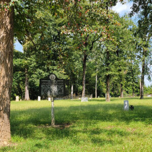 Cherry Cemetery
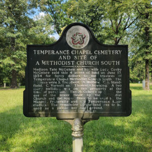 Cherry Cemetery Information
 Cherry Street


