Pinnacle Springs (Faulkner County)
Pinnacle Springs is an abandoned resort community located in northern Faulkner County, approximately five miles north of Greenbrier (Faulkner County), along the east side of Cadron Creek. The springs were noted in 1880 by Jeff Collier. Collier was herding cattle in the area when he came across the springs and noticed they had an unusual taste. Collier told his employer, James D. Martin, about the springs. Martin and other businessmen from the area incorporated the Pinnacle Springs Land Company in 1881 to develop a resort town using the spring water. The Martin family conveyed 360 acres of their land to the company to develop the town. Marketing for Pinnacle Springs emphasized the curative properties of the springs, the malaria-free environment, …
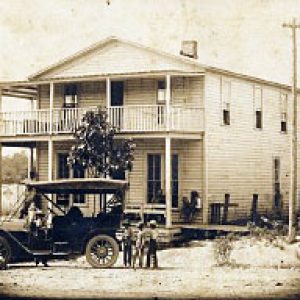 Pipes Hotel
 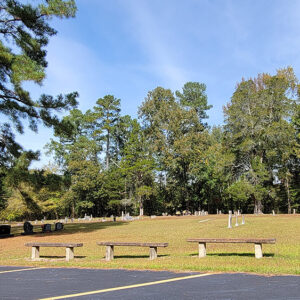 Pisgah Cemetery
 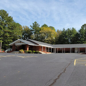 Pisgah Church
 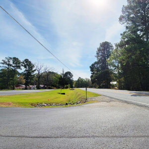 Pisgah Street Scene
 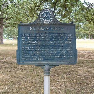 Pitman's Ferry Memorial
 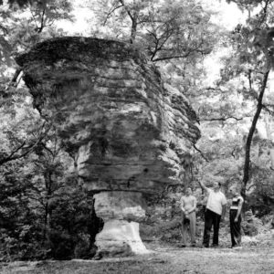 Pivot Rock
 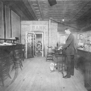 Plainview Bank
 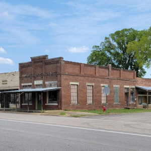 Plainview Bank
 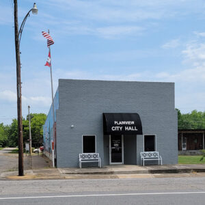 Plainview City Hall
 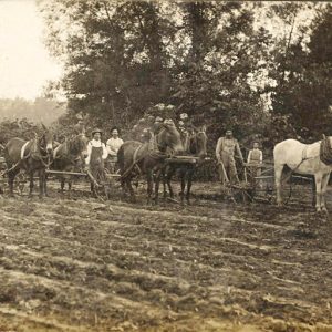 Plainview Farmers
 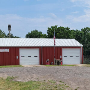 Plainview Fire Department
 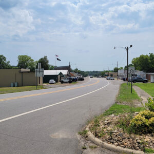 Plainview Street Scene
 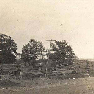 Planing Mill
 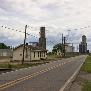 Planters Gin
  Entering Pleasant Plains
 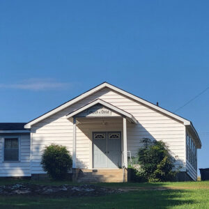 Pleasant Plains Church
 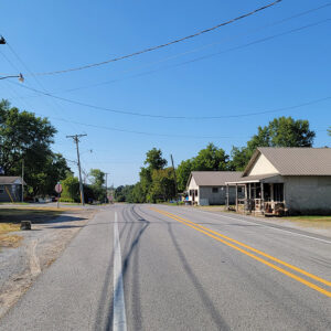 Pleasant Plains Street Scene
 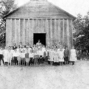 Pleasant Springs School
 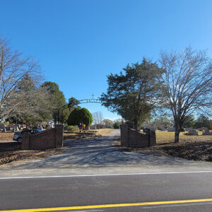 Pleasant Valley Cemetery
 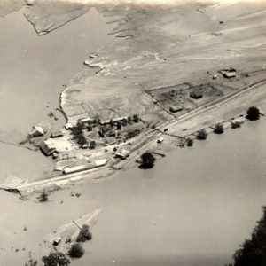 Plum Bayou Flood
 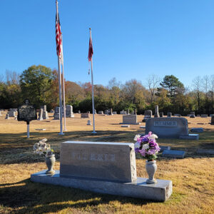 Plumerville Cemetery
 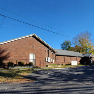 Plumerville Church
 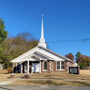 Plumerville Church
 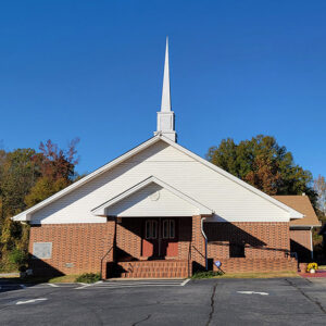 Plumerville Church
 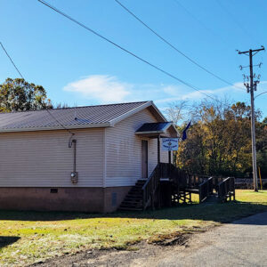 Plumerville Masons
 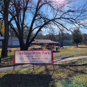 Plumerville Park
 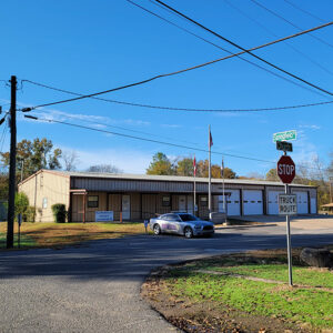 Plumerville Police
  Plumerville Street Scene
 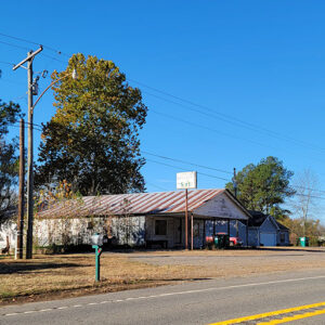 Plumerville Street Scene
 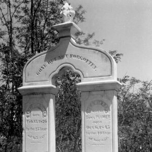 Plumer Grave
  Pocahontas Courthouse Square
 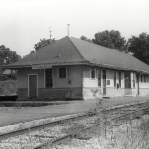 Pocahontas Depot
 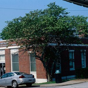 Pocahontas Post Office
 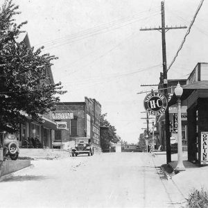 Pocahontas Street Scene
 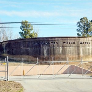 Pocahontas Water Tank
 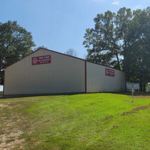 Point Cedar Fire Deparement
  Point Cedar Street Scene
 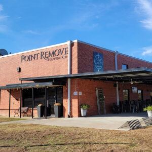 Point Remove Brewing
  Point Remove Creek


