Cane Hill (Washington County)
Cane Hill, settled by Europeans in 1827, was the earliest settlement in Washington County. It was known as an educational center because the first college in Arkansas to admit women was in Cane Hill. In addition, it had the state’s first public school, library, and Sunday school. Several of the oldest houses in northwest Arkansas still stand in Cane Hill. It was also the site of an all-day skirmish in the days before the Battle of Prairie Grove (December 7, 1862). Most of the early settlers came from the Crystal Hill–Little Rock area (Pulaski County), attracted by the rich soil, plentiful freshwater springs, and the canebrakes in the temperate mountain climate. In addition, many Cherokee had recently been removed from …
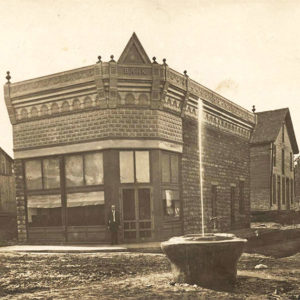 Cane Hill Bank
 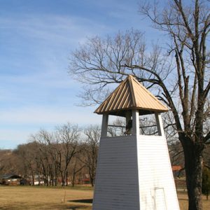 Cane Hill College
 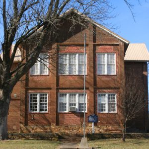 Cane Hill College
 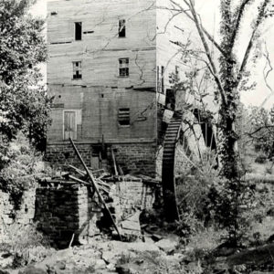 Cane Hill Mill
 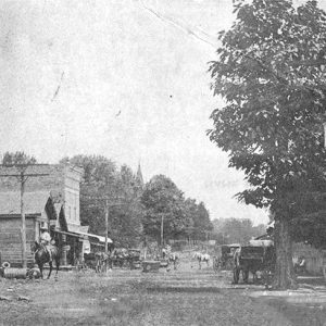 Cane Hill Street Scene
 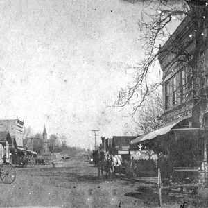 Cane Hill Street Scene
 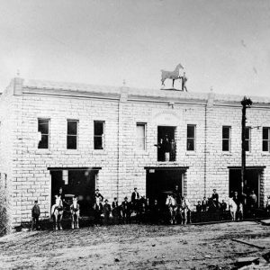 Cane Hill Street Scene
 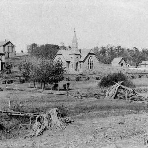 Cane Hill: 1891
 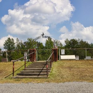 Caney Cemetery
 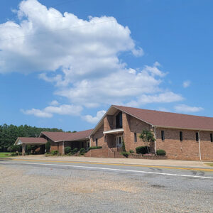 Caney Church
  Caney Creek
  Entering Caney Valley
 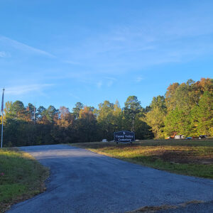 Caney Valley Cemetery
 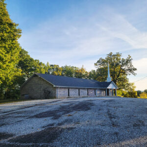 Caney Valley Church
 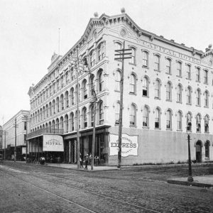 Capital Hotel; 1892
 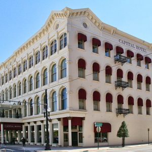 Capital Hotel; 2008
 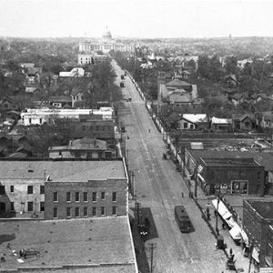 Capitol Avenue
 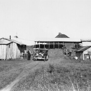 Carbon Coal Company
 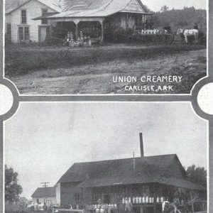 Carlisle Creameries
 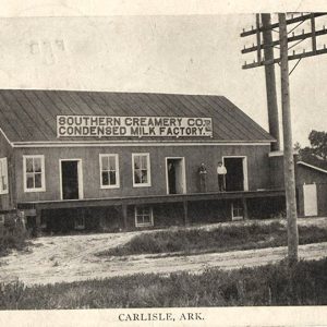 Carlisle Creamery
 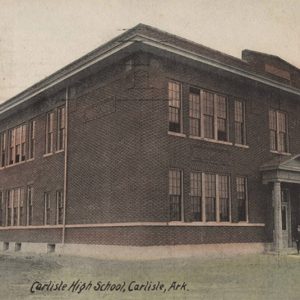 Carlisle High School
 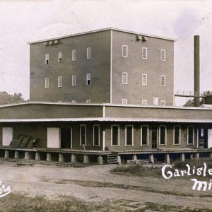 Carlisle Rice Mill
 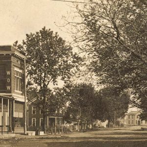 Carlisle Street Scene
 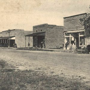 Carlisle Street Scene
 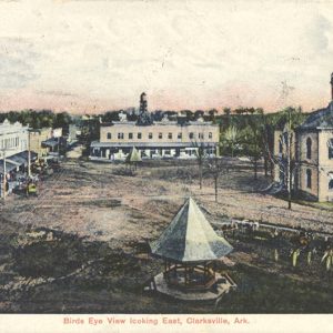 Carlisle View
 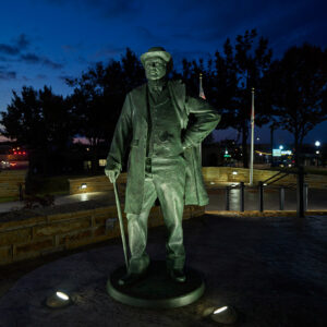 Carnall Statue
 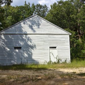 Carolina Methodist Church
 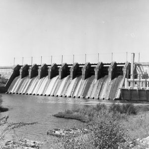 Carpenter Dam
 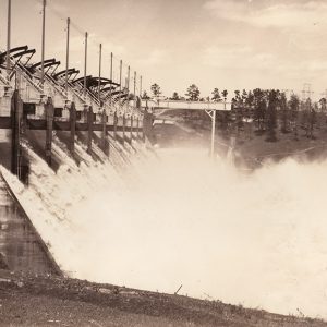 Carpenter Dam
 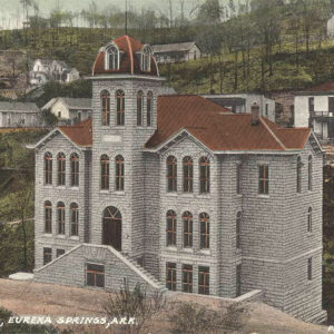 Carroll County Courthouse, Western District
 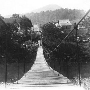 Carrollton Swinging Bridge
 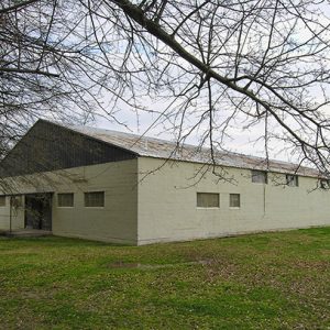 Carver Gym
 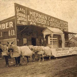 Carvill Store
 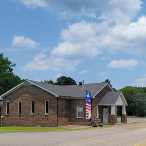 Casa Church
 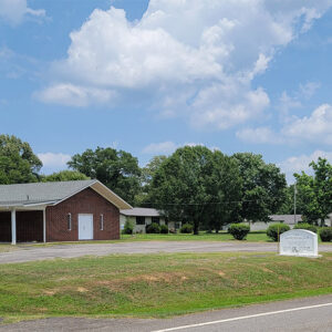 Casa Church
 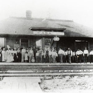 Casa Depot
  Casa Fire Deparement
 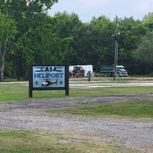 Casa Heliport
  Casa Library
  Casa Post Office


