calsfoundation@cals.org
Widener (St. Francis County)
| Latitude and Longitude: | 35°01’24″N 090°41’05″W |
| Elevation: | 194 feet |
| Area: | 0.54 square miles (2020 Census) |
| Population: | 212 (2020 Census) |
| Incorporation Date: | July 17, 1909 |
Historical Population as per the U.S. Census:
|
1810 |
1820 |
1830 |
1840 |
1850 |
1860 |
1870 |
1880 |
1890 |
1900 |
|
– |
– |
– |
– |
– |
– |
– |
– |
– |
– |
|
1910 |
1920 |
1930 |
1940 |
1950 |
1960 |
1970 |
1980 |
1990 |
2000 |
|
245 |
449 |
235 |
225 |
187 |
203 |
292 |
361 |
381 |
355 |
|
2010 |
2020 |
|
|
|
|
|
|
|
|
|
273 |
212 |
|
|
|
|
|
|
|
|
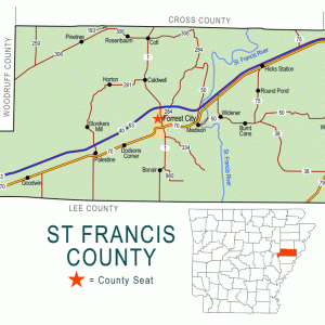
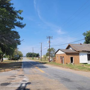
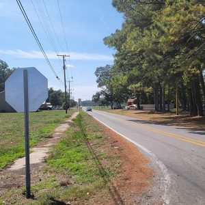
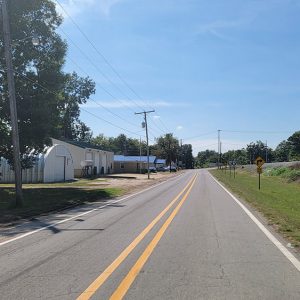
Widener is a town in St. Francis County between Crowley’s Ridge and the St. Francis River. It is on State Highways 38 and 50 and is crossed by the Union Pacific Railroad. Widener was the birthplace of blues legend Luther Allison.
Between the Louisiana Purchase and the Civil War, the area around present-day Widener was not attractive to American settlers, being swampy lowlands. Surveyors passed through the area while planning a railroad to connect Little Rock (Pulaski County) to Memphis, Tennessee. Although work was done on the eastern and western portion of the railroad before the Civil War, the central portion of the Memphis and Little Rock Railroad was not built until after the war was over; it was completed in 1871.
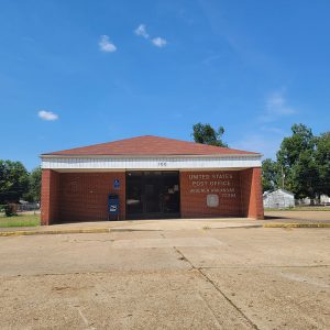
A railroad depot and post office were established in 1888 at the current location of Widener; at first, they were named Mead for postmaster Robert T. Mead. The name was changed to Widener in 1895, probably in honor of John M. Widener, who was involved in farming and in the timber industry along the St. Francis River. The Goodspeed history of St. Francis County describes Widener as a steward of the Methodist Episcopal Church, South, “of German descent, and a prominent Democrat, and a leading citizen of this county.”
Around 1900, the Memphis and Little Rock Railroad became part of the Chicago, Rock Island and Pacific Railroad. The town of Widener was incorporated in 1909. A national highway, known first as the Lee Highway and later as U.S. Highway 70, was established in the 1920s, connecting some local roads with new construction to cross the United States. In Arkansas, the highway paralleled the railroad track of the Rock Island, bringing the highway north of Widener.
In 1954, Widener had four churches—a Methodist church for white citizens, and a Methodist church, a Baptist church, and a Sanctified church for African Americans. The town also had six stores, including two combination grocery and automobile service stores, a general merchandise store that also housed the post office, and a radio and television repair shop. Agriculture in the area largely consisted of cotton and soybeans, and Widener had a cotton gin. The town was also regarded as a center for hunting and fishing.
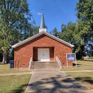
The Rock Island fell into bankruptcy in the 1970s, and the Union Pacific Railroad acquired the tracks that run through Widener. Also in the 1970s, Interstate 40 was completed north of Widener, creating some business opportunities in the area. Twenty-first-century Widener has at least two churches—one Baptist and one Missionary Baptist—as well as several businesses and stores. A heavy-equipment company, Robbie’s Equipment, was founded in 2007. In 2010, the population of Widener was 273, the majority of whom were African American.
For additional information:
Chowning, Robert W. History of St. Francis County, Arkansas. Forrest City: Times-Herald Publishing Company, 1954.
Steven Teske
Butler Center for Arkansas Studies


Comments
No comments on this entry yet.