Weldon (Jackson County)
Weldon is a town in Jackson County, south of the county seat, Newport (Jackson County). It is on State Highway 17 between Auvergne (Jackson County) and Tupelo (Jackson County); the White River valley lies to the west of Weldon, and the Cache River plains lie to the east. Archaeological evidence indicates that Jackson County has been inhabited for up to 10,000 years. The first white explorers and settlers entered the county by way of the White River, creating such settlements as Newport and Jacksonport (Jackson County). In 1831, Alvin McDonald moved from Tennessee to Jackson County, first purchasing land northeast of Newport but later farming near the present site of Weldon. McDonald raised cattle and hogs, and grew corn, potatoes, …
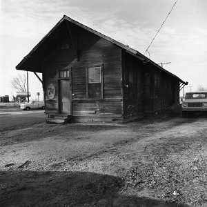 Weldon Depot
 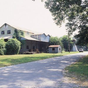 Weldon Gin Company Historic District
 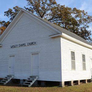 Wesley Chapel
 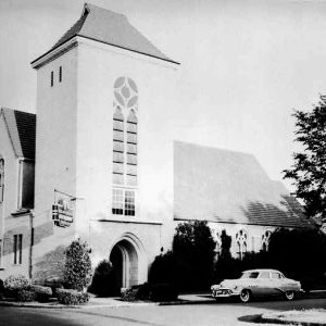 Wesley Chapel United Methodist Church
 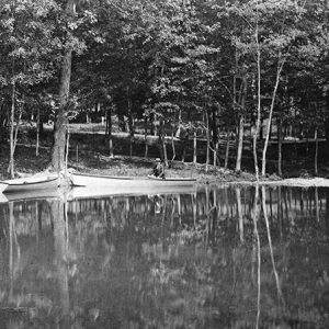 West End Park, 1890
 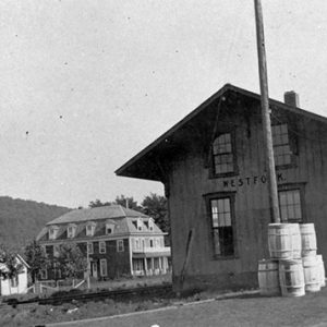 West Fork Depot
 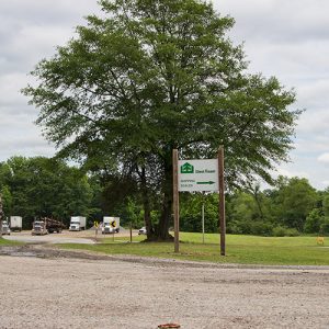 West Fraser Timber
 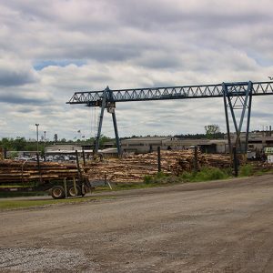 West Fraser Timber
 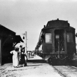 West Memphis Train Station
 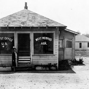 West Memphis Post Office
 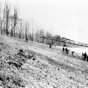 West Memphis
 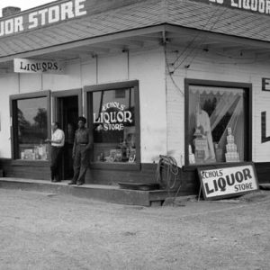 West Memphis; 1935
  West Memphis, 1930
 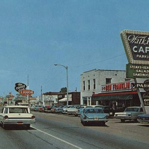 West Memphis Street Scene
 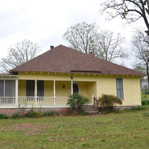 West-Blazer House
 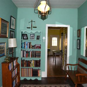 West-Blazer House Interior
  West-Blazer House Interior
 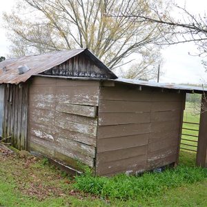 West-Blazer House Outbuildings
 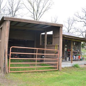 West-Blazer House Outbuildings
 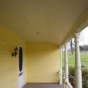 West-Blazer House Porch
 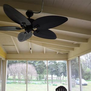 West-Blazer House Porch Fan
 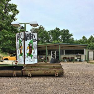 Westfalls Cafe
 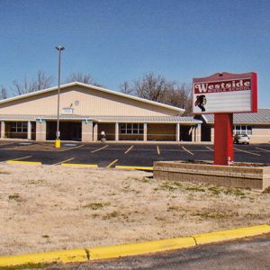 Westside Middle School
 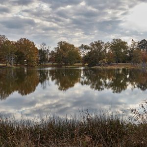 Wetlands at Arkansas Post
 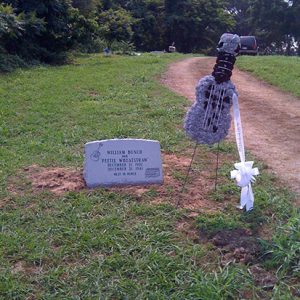 Peetie Wheatstraw Grave Marker
 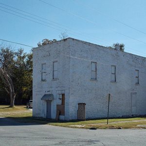 Wheel Store
 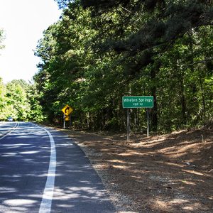 Whelen Springs
 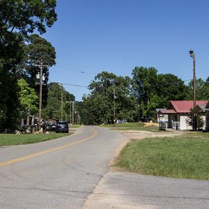 Whelen Springs
 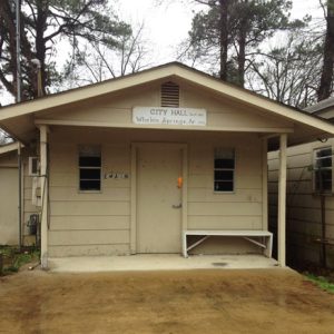 Whelen Springs City Hall
 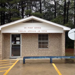 Whelen Springs Post Office
 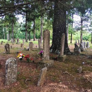 Whisenhunt Cemetery
  Whitaker Point
  White Bluff Station
 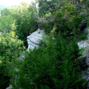 White Cliffs Natural Area
 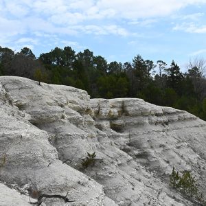 White Cliffs Natural Area
 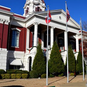 White County Courthouse
 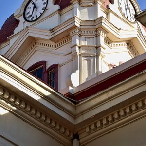 White County Courthouse
 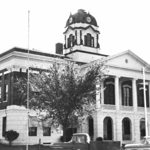 White County Courthouse
 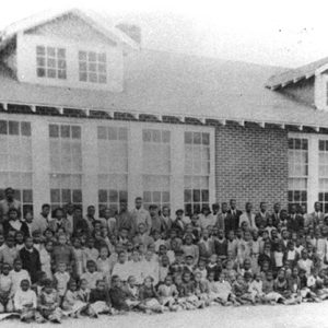 White County Training School


