Bryan (Scott County)
Bryan is an unincorporated community located in northwestern Scott County along Highway 28 north of the Poteau River. The community of Bryan was also known as Center Point and Bryan’s Spur. Agriculture has traditionally been important to the area. Prior to European exploration, Bryan was a wilderness lush with native vegetation and numerous species of wildlife—including buffalo and elk, which no longer inhabit the area. Archaeological evidence from the Archaic, Woodland, and Mississippian periods has been discovered throughout the area. Additional evidence has indicated that the Caddo tribe had a strong presence along the Poteau River and other prominent waterways. Throughout the late seventeenth and early eighteenth centuries, French trappers and explorers traveled west from the Arkansas Post along the Arkansas River. From there, they began traversing smaller …
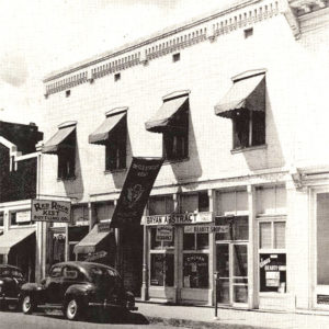 Bryan Building
 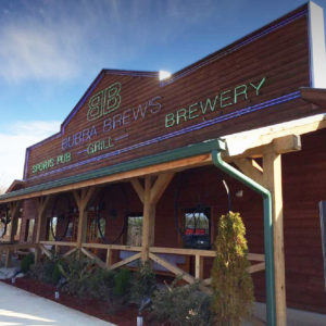 Bubba Brew's
 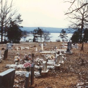 Buckville Cemetery
 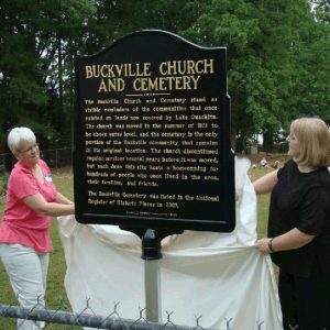 Buckville Cemetery Marker
 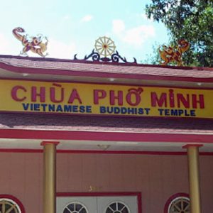 Buddhist Temple
 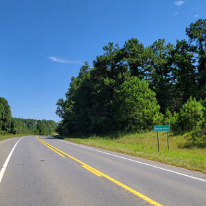 Entering Buena Vista
 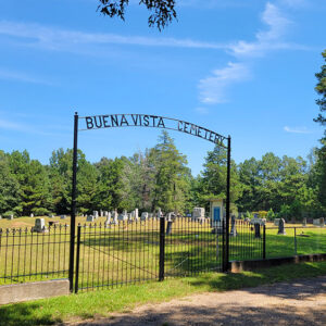 Buena Vista Cemetery
 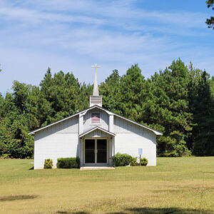 Buena Vista Church
 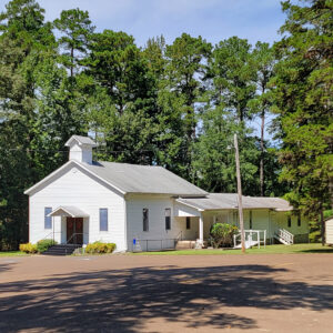 Buena Vista Church
 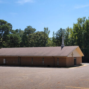 Buena Vista Church
 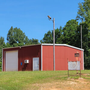 Buena Vista Fire Department
 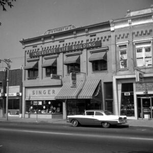 Buildings on Main Street
 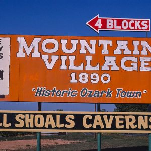 Bull Shoals Attractions
 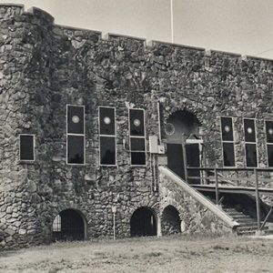 Bunch-Walton Post 22 American Legion Hut
 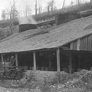 Burning Lime
 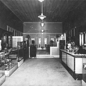 Burns Confectionary
 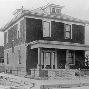 Burrows Home
 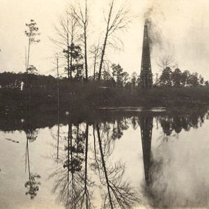 Busey Oil Well No. 1
 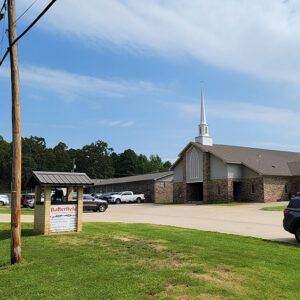 Butterfield Church
 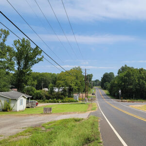 Butterfield Street Scene
 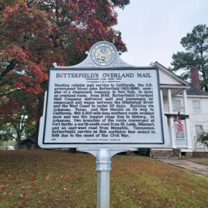 Butterfield's Plaque
 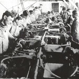 Button Factory
 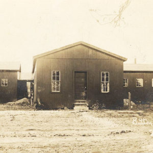 Button Factory


