Lonoke County
The county and its seat of government having the same name distinguishes Lonoke County from other counties in the state. Lonoke received its name from a “lone oak” tree that George P. C. Rumbough used for a landmark while surveying for the Memphis and Little Rock Railroad. In 1873, the Arkansas legislature was forming and locating counties, and a petition was introduced to the legislature to form the county of Lonoke. Governor Elisha Baxter signed the act on April 16, 1873, creating Lonoke County from the parent counties Prairie and Pulaski. The existing territorial land is divided into three sections. The northern region consists of gently rolling hills and valleys; the towns of Cabot, Austin, and Ward are in this …
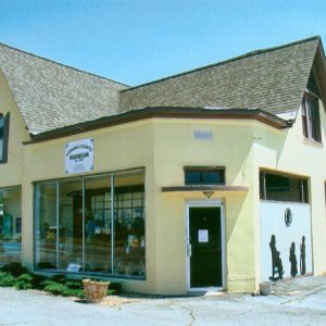 Lonoke County Museum
 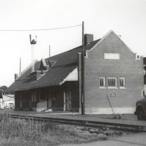 Lonoke Depot
 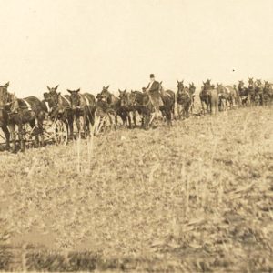 Lonoke Rice
 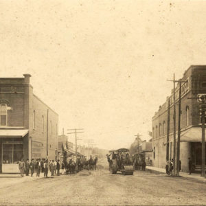 Lonoke Road Construction
 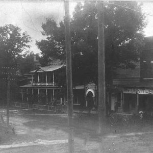 Lonoke Street Scene
 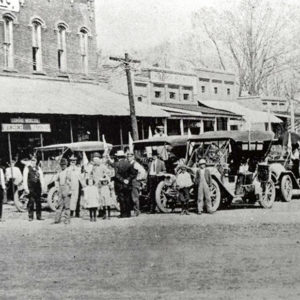 Lonoke Street Scene
 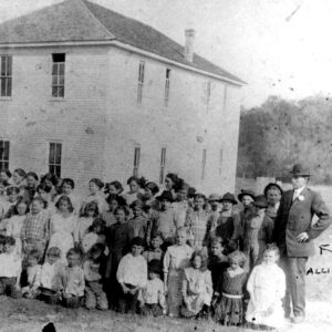 Lonsdale School
 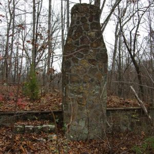 Lost Corner
 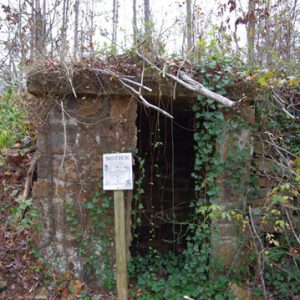 Lost Corner Cellar
 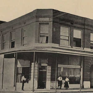 Lott Building
 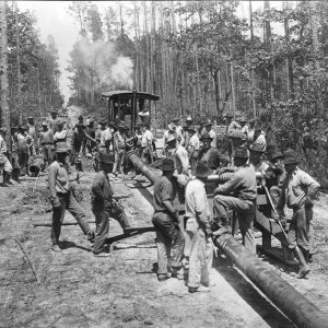 Louann Pipeline
 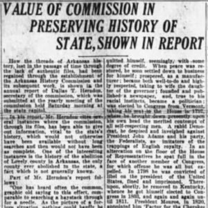 Lovely County Article
 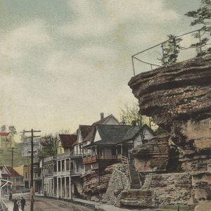 Lover's Leap
 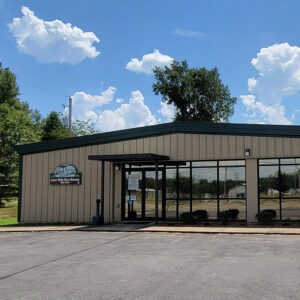 Lower White River Museum State Park
 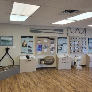 Lower White River Museum State Park Display
 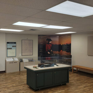 Lower White River Museum State Park Display
 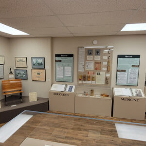 Lower White River Museum State Park Display
 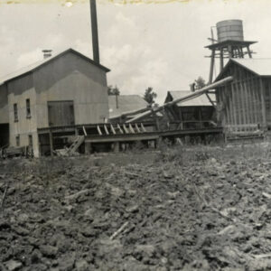 Lucerne Gin
 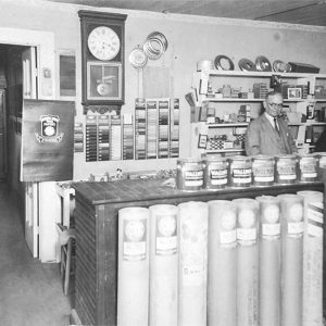 Lumber Company
 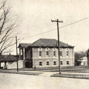 Luxora Church
 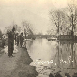 Luxora Flood


