Counties, Cities, and Towns

Entry Category: Counties, Cities, and Towns

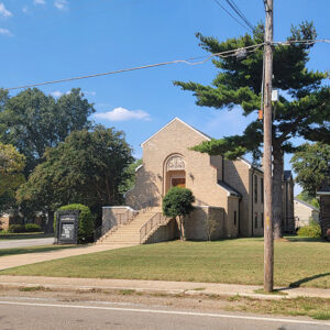
Howard County

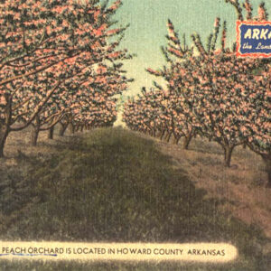
Howard County encompasses the Ouachita Mountains to the north and the Coastal Plain to the south. It was created in 1873 from portions of Pike, Polk, Hempstead, and Sevier counties. Nashville in eastern Howard County was the birthplace of the Dillard’s department store chain. Howard County was also the location of one of the state’s most notorious race riots. European Exploration and Settlement The first accounts of the inhabitants from this area come from the chronicles of the Hernando de Soto expedition in the sixteenth century. The area is known to have been inhabited by the Caddo tribe. By the mid-1800s, however, the U.S. government had relocated the Caddo to what is now Oklahoma. This area was also part of the …

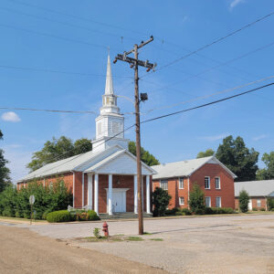
Hoxie (Lawrence County)

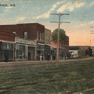
Hoxie is located in Lawrence County in northeast Arkansas. The town garnered national attention in 1955 when it became the third school in the state of Arkansas to desegregate. Profiled in Life magazine, Hoxie’s desegregation caught the attention of the entire country. Hoxie is closely tied to the town of Walnut Ridge, which is Lawrence County’s seat. The earliest inhabitants in Lawrence County were Native American. During the Mississippian Era (AD 900–1541), the Osage, Quapaw, and Caddo were the three main tribes inhabiting what became the state of Arkansas. The Osage settled in southern Missouri and northern Arkansas. The U.S. government forced the Native Americans from the Lawrence County area in 1810 and sent them westward. During the Civil War, …

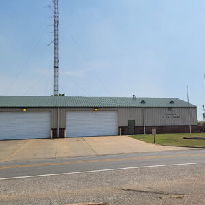
Huff (Independence County)

Huff of Independence County is located seven miles south of Batesville (Independence County) on Highway 167, a roadway designated today as Batesville Boulevard. Huff is about two miles north of Salado Creek, the location of a rest stop and of the swimming hole used by residents of the region. Fishing in the creek is a popular recreational activity in the area. Huff gets its name from the Huff family, who were pioneers in the region. Many of their descendants still live in Salado (Independence County) and Batesville. William Henry Harrison Huff, a Primitive Baptist preacher and constable, was elected mayor of Ironton, Missouri, during the Civil War. According to family tradition, he almost single-handedly started one of the bloodiest battles …

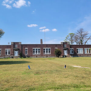
Hughes (St. Francis County)

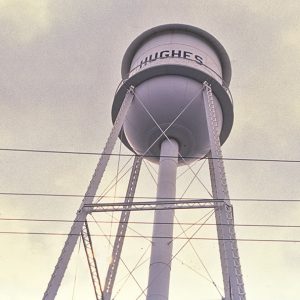
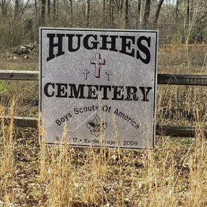
Hughes is the second-largest town in St. Francis County. Located halfway between Mud Lake (St. Francis County) and Greasy Corner (St. Francis County), Hughes is part of Arkansas’s Delta region, near the Mississippi River, and a center of agricultural production. Like most of the Arkansas Delta, the area that is now Hughes was populated by Native American tribes long before it was seen by European explorers and settlers. While St. Francis County does not have Indian Mounds as impressive as those at Parkin (Cross County) or the Toltec Mounds, archaeologists have studied significant structures and remains in the area since the nineteenth century. In 1836, with the earlier opening of the Military Road in east Arkansas, white people settled the area. …

Hulsey Bend (Independence County)

Historic Hulsey Bend was a farming community located in a bend of the White River in the Oil Trough Bottoms. Hardin Hulsey began farming there with his parents, Charles and Sarah Hulsey, in about 1815. Hulsey is considered a pioneer of Oil Trough (Independence County), which was originally called Pleasant Island. Hulsey Bend is located near where Highway 122 crosses the bridge from Newark (Independence County), four miles north-northwest, and merges with Highway 14 from Oil Trough, three miles west-southwest. Freeze Bend Country Road leaves Highway 14 going north toward the river and leads to Hulsey Bend, less than a mile away. Surrounding Hulsey Bend is alluvial farmland on which cash crops are grown—at one time, cotton, but today mainly …

Humnoke (Lonoke County)

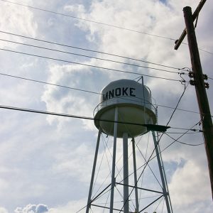
Humnoke is a city in southern Lonoke County, situated upon the Grand Prairie. It is located on Highway 165 between Stuttgart (Arkansas County) and England (Lonoke County); however, its unique name derives from the city’s place between Humphrey (Arkansas and Jefferson counties) to the south and Lonoke (Lonoke County) to the north. The Grand Prairie was not inviting to nineteenth-century settlers, especially southern Lonoke County, covered as it is with wetlands, brakes, and oxbow lakes. Early in the twentieth century, however, new arrivals to the area discovered that the climate and terrain were ideal for rice farming. Stuttgart became a center of the rice industry, and towns and cities like Humnoke began to dot the landscape. Local historians credit Dee …

Humphrey (Arkansas and Jefferson Counties)
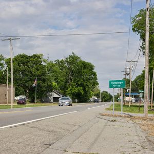
Humphrey is one of the few cities in Arkansas to exist in two counties. A second-class city located on the county line between Jefferson County and Arkansas County, it appears on the census records for both counties. Before its consolidation with DeWitt (Arkansas County) in 2004, the Humphrey school district also included students from both counties. The land that now is Humphrey was a farm belonging to William D. Anthony in 1882 when the St. Louis Southwestern Railway (the Cotton Belt) surveyed the area for its line running between Stuttgart (Arkansas County) and Pine Bluff (Jefferson County). The rail stop, which quickly became a settlement, was named for the railway surveyor. The first school classes in Humphrey were held in …

Hunter (Woodruff County)

Hunter of Woodruff County was a busy trading and shipping center during the late 1800s and early 1900s and attracted hunters from surrounding areas. The first settler of Hunter was Edward Shannon Hunt, a Civil War Union soldier from Ohio who served in the area. He admired the abundant game and fishing streams in the area and vowed to return and make his home there. Sometime in the 1870s, along with his family, he did just that. His wife, Elizabeth Ann, served as a midwife and doctor to the other settlers in the area. As more people moved west to settle, Elizabeth Ann set up a wayside inn on the Military Road to accommodate travelers. The place became known as …

Huntington (Sebastian County)

Huntington is a second-class city located in the coal-rich Arkansas River Valley of southern Sebastian County. Its fortunes rose and fell with the coal industry, but the city has revived in the twenty-first century, billing itself as a location with “quiet, comfortable, and affordable living.” Situated about twenty-five miles south of Fort Smith (Sebastian County), the land that would become the city of Huntington was purchased around 1888 by Levi Barrett, who almost immediately sold the land to the Missouri, Kansas, and Texas Coal Company. Samuel Fellows had already begun a coal mine at nearby Cherokee Creek in June 1887 and had built a house on the hillside claimed by Barrett that same month. In time, three large coal mines …