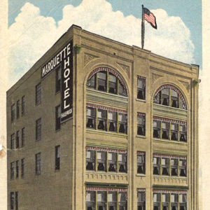
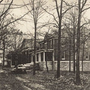
 Marquette Hotel
Entry Category: Counties, Cities, and Towns - Starting with M
Marquette Hotel
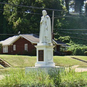 Marquette Statue
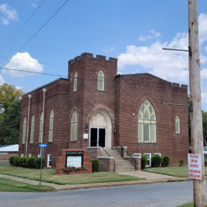
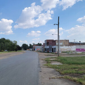
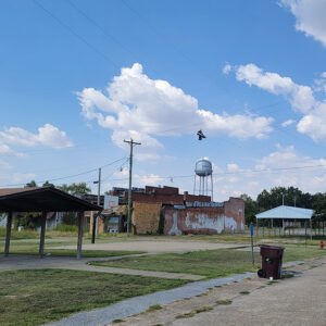
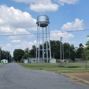
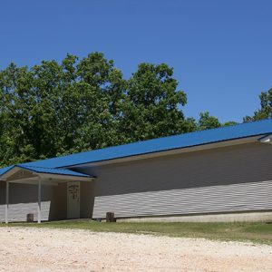
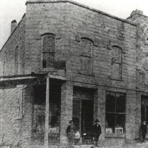
Marshall (Searcy County)
Marshall is the county seat and market town for poor and rural Searcy County, which contains 23,372 acres of the Buffalo National River and its surrounding lands, and 31,286 acres of the Ozark National Forest. Its only sustained industry has been timber processing. Beyond that, it is dependent upon cattle and the tourism brought in by the Buffalo National River. Mostly destroyed during the Civil War, Marshall grew slowly during the nineteenth century. The Missouri & North Arkansas Railroad sped Marshall’s growth from 1905 to 1910, but the post–World War I slump hit Searcy County’s and Marshall’s industries hard. Between spurts of economic activity and a series of celebrations, such as the Strawberry Festival from the late 1940s to mid-1980s …
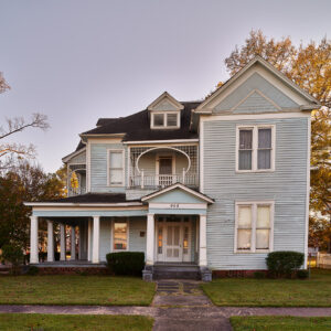
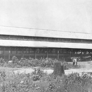
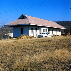 Marshall Depot as Home
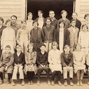
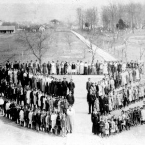 Marshall School
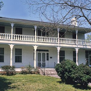
 Martha Mitchell Birthplace
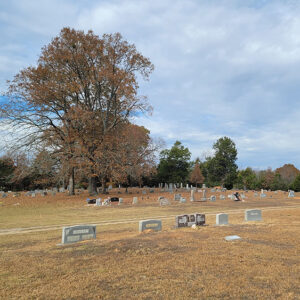
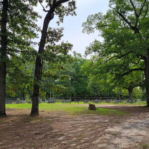 Martin Cemetery
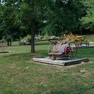
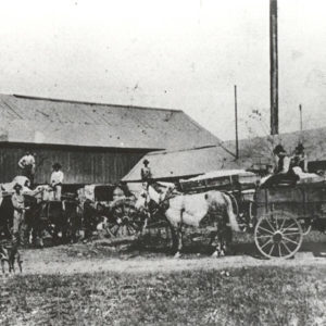 Martin Gin
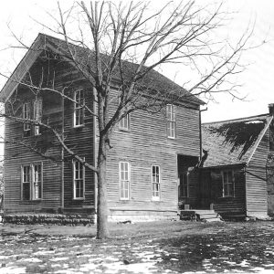 Martin House
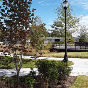 Martin Luther King Square Park
 John Wilson Martin House
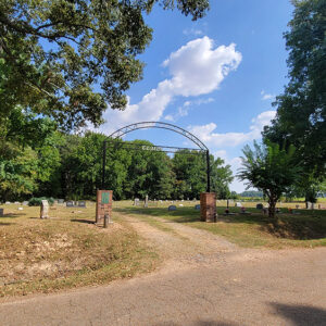
 Martinville Cemetery
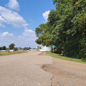
 Martinville Street Scene
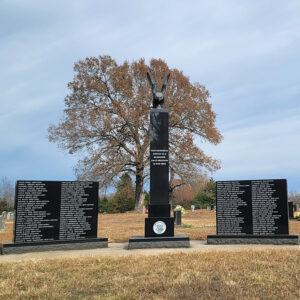 Martinville Veterans Memorial
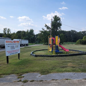
 Entering Marvell
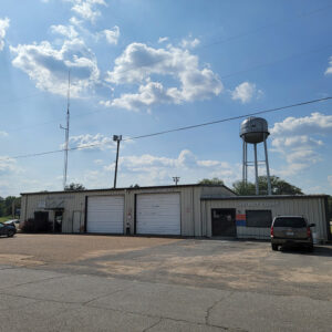
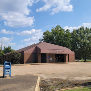
Marvell (Phillips County)
The city of Marvell began as a railroad town in the 1870s. Best known as the hometown of musician Levon Helm, Marvell is one of the largest communities in Phillips County. Rich soil deposited by Mississippi River floods over the years made Phillips County attractive to cotton farmers, who created large plantations throughout the area in the early nineteenth century. In 1835, John Sanford acquired ownership of the land where Marvell would be built. Slaves worked the plantations until the Civil War, and many of the former slaves remained as tenant farmers after the war. Several railroads had been planned before the war, but their construction did not take place until Reconstruction. The Arkansas Central Railroad, planned to link Helena (Phillips County) and Little Rock (Pulaski …
 Marvell Cemetery
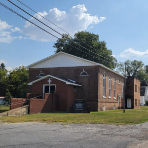 Marvell Church
 Marvell Church
 Marvell City Hall
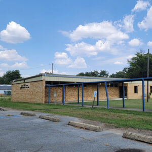
 Marvell High School
 Marvell Library
 Marvell Municipal Buildings
 Marvell Park
 Marvell Post Office
 Marvell School
 Marvell Street Scene
 Marvell Street Scene
 Marvell Water Tower
 Masonic Building
 Masonic Lodge No. 743
 Masonic Orphans Home
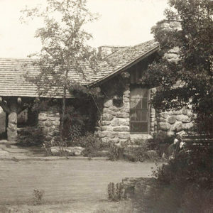 Mather Lodge
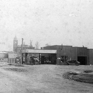 Matthews Garage
Mauldin (Montgomery County)
The former town of Mauldin, in Montgomery County, is located between Pencil Bluff (Montgomery County) and the county seat, Mount Ida. Fueled by the logging industry, Mauldin was once the largest town in the county, although twenty-first-century Mauldin is a ghost town, with little physical evidence remaining. The Caddo River Lumber Company established Mauldin around 1922 where company logging railroads in Montgomery County crossed land purchased from William Mauldin, a local homesteader. The easily accessible landscape and proximity to vast reserves of timber in the northern portion of the county created an ideal location for a logging town. Timber was easily transported by rail to the large mills at Glenwood (Pike County) or Rosboro (Pike County). There, on William Mauldin’s …
Maumelle (Pulaski County)
Maumelle is a city five miles west of Little Rock (Pulaski County) on Interstate 40. A fast-growing, affluent suburb of Little Rock, it has the highest median household income in the state of Arkansas, according to the U.S. Census Bureau. It is one of the planned communities that arose in central Arkansas during the 1970s. The area that is now Maumelle was visited by European explorers prior to the Louisiana Purchase and American settlement. Maumelle derives its name from the French word mamelle, or “breast,” probably due to the conical shape of nearby Maumelle Mountain (now Pinnacle Mountain). Identifying the early settlers of Maumelle is difficult, as they left few written records. Although a few had obtained land grants from …
 Maxfield Store
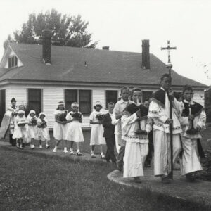 May Crowning
Mayflower (Faulkner County)
Mayflower is a small town eleven miles south of Conway (Faulkner County) and twenty-five miles northwest of Little Rock (Pulaski County) on Interstate 40. Located on the southwestern edge of Lake Conway, Mayflower is known for its fishing. Like many of the smaller towns of Faulkner County, such as Vilonia and Greenbrier, Mayflower offers a rural lifestyle within a short drive of Conway and Little Rock, where many of its residents commute to work. European Exploration and Settlement The area’s earliest European settlers were Loyalists, or Tories, who moved west to escape the Revolutionary War. Families such as the Flannagins and Massengills arrived around 1778 and settled near the mouth of Palarm Creek, where they found good soil, ample amounts …
Maynard (Randolph County)
Maynard is in northern Randolph County, located at the intersection of State Highways 328 and 115. The town is known for its academic heritage and for preserving the history of the area with the Maynard Pioneer Park and Museum. Three freshwater springs have long made the area of Maynard desirable for brief refreshment or for more permanent settlement. When the United States acquired the Louisiana Purchase in 1803, Osage hunters and travelers frequented the area, although their homes were farther north in Missouri. Early highways crossed near the springs—the Old Military Road (also known as the Southwest Trail) that connected St. Louis, Missouri, to parts of the Red River valley and Texas, passed near the springs, where it intersected the …
 Maynard Pioneer Museum
 Maynard Pioneer Museum
 Maynard Pioneer Museum
Maysville (Benton County)
Although it is unincorporated, Maysville is one of the oldest settlements in Benton County. Located on Arkansas Highway 43 near the Oklahoma state line, Maysville is the westernmost community in Arkansas. The Osage hunted and fished in northern Arkansas until they were removed farther west by a series of treaties. The first white resident of the land that would become Maysville was Adam Beatie, who arrived in 1828. The area became known as Beatie’s Prairie, which was the name of the post office from 1840 to 1850. John Martin May arrived in 1831. The community was named for him, and the post office changed its name to Maysville in 1850. A merchant named Hugh Tigret arrived in 1838; he is …
McAlmont (Pulaski County)
McAlmont is an unincorporated community in Pulaski County, just to the east of North Little Rock (Pulaski County). Its southern boundary is Interstate 40, and the community is divided by tracks of the Union Pacific Railroad. After Little Rock had become established as the capital of Arkansas, farmers began to cultivate land north of the Arkansas River from the capital city, establishing plantations to grow cotton and subsistence crops. Among the early landowners in the region that would be McAlmont were Charles Robinson, who first acquired a land patent in 1837 and added more land in 1842; David Spence (1838); Ephraim Beasley (1838); Edward Cook (1839); Lucy Beasley (1839); Kindred Delk (1842); and Littleberry M. Robinson (1842). The Southwest Trail ran through …
McArthur (Desha County)
McArthur (Desha County) is a historic community five miles north of McGehee (Desha County) on Arkansas Highway 1. It was first named McArthur Station in honor of Zack McArthur, an early settler in the area. A post office operated at McArthur from 1907 to 1918, but the settlement was never incorporated. Because McArthur is located near Macon and Coon bayous, once navigable waterways, it was already somewhat populated when the St. Louis, Iron Mountain and Southern Railroad (later called the Missouri Pacific Railroad, then Union Pacific) completed a railroad bridge over the Arkansas River at Yancopin (Desha County) in 1904. The railroad allowed timber to be harvested, processed, and shipped out. Several stores opened, and a one-room school was constructed there …
McCaskill (Hempstead County)
McCaskill is a town in northern Hempstead County on U.S. Highway 371. It developed early in the twentieth century after construction of the Prescott and Northwestern Railroad. Although some of Arkansas’s oldest cities and towns emerged in Hempstead County along the Southwest Trail (an early military road), the northern part of the county remained remote until the start of the twentieth century. Some settlers acquired land and established farms and plantations, including Hezekiah Askew, who came from North Carolina to Pike County around 1848 before going the land office in Washington (Hempstead County) in 1860 and acquiring land around what one day would be McCaskill. His sons James and John purchased adjoining lots around the same time. The Skirmish at …
 McCaskill Packing Shed
 McCaskill School
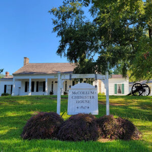 McCollum-Chidester House Museum


