


501-918-3025
calsfoundation@cals.org
calsfoundation@cals.org
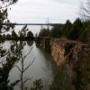
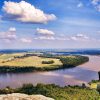
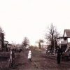
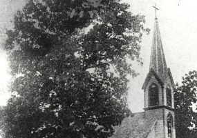
Conway County was established by an act of the territorial legislature on October 20, 1825, from land taken from Pulaski County. It was named for Henry Wharton Conway, a member of the Arkansas Territory’s delegation to Congress. At the time, it comprised 2,500 square miles and included most of the present Conway, Faulkner, Van Buren, White, Cleburne, and Perry counties and part of Yell County. Located in the Arkansas River Valley, Conway County’s geographic structure ranges from the ridges of the Ozark foothills in the extreme northwest to the rich lowlands near the Arkansas River—a quite varied topography.
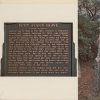
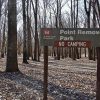
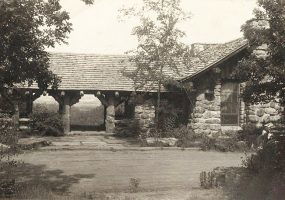
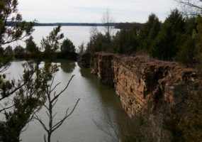
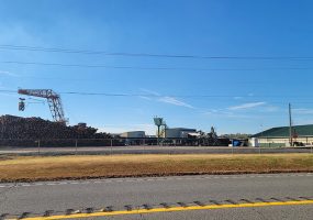
The county’s native hardwood and pine forests have been a resource for the timber and recreation industries. Cotton was grown in the early days of the county, but now the dominant agriculture products are soybeans and hay, as well as poultry and livestock. In addition, Conway County’s northwest corner is the site of natural gas deposits deep underground. The Arkansas River divides the county into two unequal parts, the largest being to the north. To the south is Petit Jean Mountain (elevation 1,207 feet), the county’s highest summit.