


501-918-3025
calsfoundation@cals.org
calsfoundation@cals.org
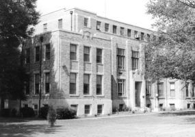
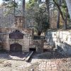
Hot Spring County was established by an act of the territorial legislature in 1829 with land taken from Clark County. Located southeast of the Ouachita National Forest, Hot Spring County is bisected by the Ouachita River and includes landforms ranging from mountains to lowlands once covered in hardwood and pine forests. The combination of rock types and fault lines is responsible for the hot spring that provides the name for the county. This county, located in the southwest region of the state, has a diverse economy based on timber, manufacturing, mining, and agriculture (corn, cotton, and some rice).


Law Enforcement

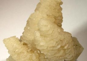
Geology

Engineering, Land
Hot Spring
Hot Spring


Lawyers

Hot Spring
Locations, Museums and Historic Sites
Libraries and Archives


