Entry Type: Place

American Viticultural Areas

aka: Viticultural Areas
American Viticultural Areas (AVAs) were established in 1979 and are “official” grape-growing areas in the United States. They are designated by the Alcohol and Tobacco Tax and Trade Bureau (TTB) as recognized and defined in federal regulations. About 200 AVAs exist, with new areas approved yearly. AVAs are geographic areas defined on maps that have similar climate, geology, soils, physical features, or elevation. They are established through petition to the TTB by growers and wineries. There are no limits to an area’s size, grape cultivars grown, viticultural practices, or winemaking procedures, and one AVA may exist within another. When an AVA designation appears on a wine label, at least eighty-five percent of the juice from which the wine was produced …

Amity (Clark County)

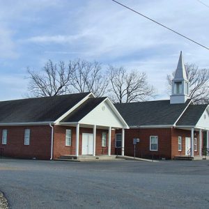
Amity traces its beginnings to the arrival of a group of pioneer families, under the leadership of Deacon William F. Browning, Clark County surveyor (1846–1850, 1852–1854), who settled along the old Caddo Cove Road just north of the Caddo River late in 1847. An abundance of water and rich bottomland drew them to the area. Soon after his arrival, Browning built a large two-story log house just west of Caney Creek. It soon became the center of an expanding community. According to Laura Scott, an early Clark County historian, Browning named his settlement “Amity” because he hoped to find in it “peace and brotherhood.” In August 1848, Browning and a group of local citizens formed what would become the Bethel …

Anderson (Scott County)

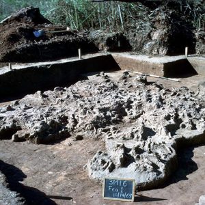
Located between Highway 80 and Highway 71 along Sweet Gum Lane, Anderson is an unincorporated community in central Scott County one mile northwest of Waldron (Scott County). The agricultural industry was vital to area settlers and later residents. The area’s first inhabitants included natives from the Archaic, Woodland, and Mississippian periods. Archaeological discoveries suggest that natives of the Caddo Nation made their homes along the Poteau River and other prominent waterways in the area. Thousands of archaeological sites can be found along the Fourche La Fave River and Poteau River valleys nearby. Throughout the late seventeenth and early eighteenth centuries, French hunters and tradesmen traveled west from Arkansas Post along the Arkansas River. From there, they began traversing smaller tributaries …

Anderson Flat (Marion County)

aka: Verona (Marion County)
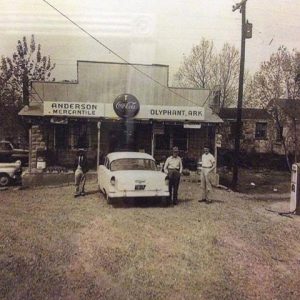
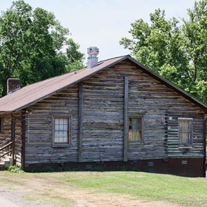
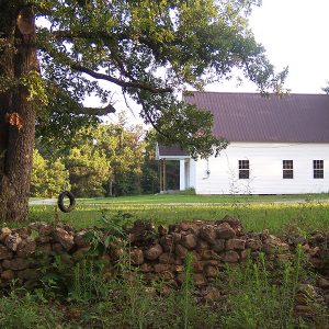
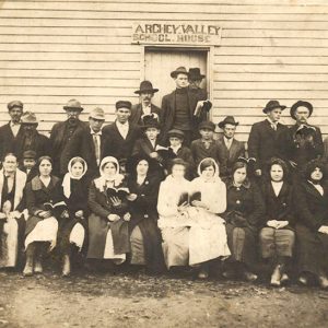
Anderson Flat, also known as Verona, is a rural community in the southwestern corner of Marion County near the Searcy County line. In the twenty-first century, it sustains a small population and holds an annual homecoming Memorial Day event. The Anderson Flat community was established on prairie land with several flat acres in the mostly hilly Ozarks region. Native American artifacts have been located in area caves and along the lake or marsh that ran parallel to the property where the schoolhouse/church was later erected. In the late 1880s, public schools in rural Arkansas counties were scarce. As the population in the Anderson Flat area grew, the need for a house of worship and schoolhouse arose. In 1883, James Bosmon …

Anthony House

From 1830 until 1875, a premier hotel stood on the southwest corner of Markham and Scott streets in Little Rock (Pulaski County). It was known by different names throughout its existence, but it is best remembered as the Anthony House. The location in the heart of downtown Little Rock with frontage on Markham Street put the hotel in an excellent location for travelers, and for many years it also served as stagecoach offices. Major Nicholas Peay arrived in Little Rock in 1825. He rented a house and opened a tavern. In 1829, he purchased lots on the southwest corner of Markham and Scott streets. In 1830, he built a one-story frame building on Markham Street that he opened as a …

Anthonyville (Crittenden County)

Anthonyville is a town located on State Highway 147 in southern Crittenden County. The town has never had a post office, a school, or a railroad depot; it exists largely as a bedroom community for the greater Memphis, Tennessee, area. The population is largely African-American. The rich soil of Crittenden County, replenished by Mississippi River flooding, has long drawn people to the area. Ancient artifacts have been unearthed in the county as reminders of its long history of human habitation. Both Spain and France held ownership of the land for a time, and some Spanish settlers had already established plantations in the county before the Louisiana Purchase in 1803 made the land part of the United States. Afterward, American settlers …

Antioch (Hot Spring County)

Antioch is an unincorporated community in Hot Spring County located about six miles northwest of Donaldson (Hot Spring County) and ten miles southwest of Malvern (Hot Spring County). The area surrounding the rural community has long been used for agriculture. One of the earliest settlers in the area was Isaac Beason and his family. Originally from Alabama, Isaac came to the area with his wife, Dicy Fowler Beason, and their oldest children around 1844. The couple would go on to have fifteen children in total. In 1856, Beason obtained 160 acres of land in the area from the Land Patent Office and added another 160 in 1859. Two sons, Jesse and Jonathan, joined the Third Arkansas Infantry (Confederate) during the …

Antoine (Pike County)

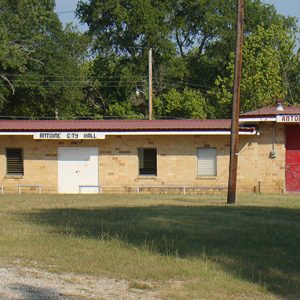
Antoine is located in the southeastern corner of Pike County on Highway 26, between Murfreesboro (Pike County) and Arkadelphia (Clark County). It was one of the first settlements in what is now Pike County. The town sits on a hill with an elevation of 300 feet above sea level. The Antoine River, which is thirty-five miles long, rises from multiple streams in the Ouachita Mountains and flows by Antoine, running into the Little Missouri River near Okolona (Clark County). Native Americans and French trappers operated on the land around Antoine during the 1700s. The town was reportedly named for one of the French trappers. He was found dead at his camp, near the road, and the only identification to be …

Argenta Historic District

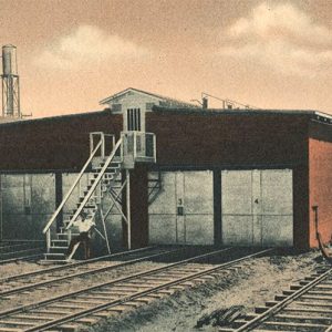
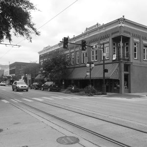
Listed on the National Register of Historic Places in 1993, the Argenta Historic District in downtown North Little Rock (Pulaski County) has anchored the revival of the city’s urban core. It is bounded by Broadway on the south, 9th Street on the north, Poplar Street on the east, and North Broadway on the west. The district includes 258 residential and commercial properties representing a continuum of the city’s development from the late 1880s to the 1940s, when North Little Rock grew from a muddy outpost on the Arkansas River opposite Little Rock (Pulaski County) to a primary railroad and industrial center with the second-largest population in the state. True to its working-class roots as a city of railroad yards, cotton oil mills, factories, …

Arkadelphia (Clark County)

Serving as Clark County’s seat of government since 1842, Arkadelphia has served as a farm market and trading center thanks to reliable water-, then rail-, then automotive-borne transportation from its perch adjacent to the Ouachita River at the edge of the Ouachita Mountains. It has a history of light industry, covering the gamut from salt extraction to lumber and aluminum, as well as recreational opportunities afforded by the nearby Ouachita and Caddo rivers and the Caddo’s impoundment, DeGray Lake. Arkadelphia’s greatest asset has been an enduring commitment to education that began with general private and denominational efforts, as well as the Arkansas School for the Blind prior to the Civil War, and blossomed with public education, a business college, and …