De Gray (Clark County)
De Gray is a community located about five miles northwest of Arkadelphia (Clark County). It is also spelled Degray and DeGray. The community shares its name with both DeGray Creek and DeGray Lake. Early settlers in the area include Isaac Cox and James Golden. Cox appears in the 1829 Clark County Sheriff’s Census, but little additional information is available. In 1854, Golden and Charles Hamner obtained forty acres of land in the area. Golden also obtained an additional eighty acres with Vinson Timms. Golden appears in the 1860 federal census with his wife and six children, farming the land. Other partnerships in the area include Abram Harrington and Francis Foygart, who jointly obtained forty acres in 1854. Harrington lived with …
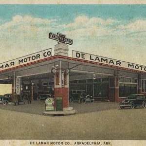 De Lamar Motor Company
 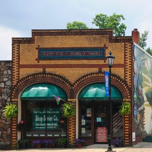 De Queen Chamber of Commerce
 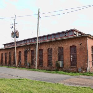 De Queen and Eastern Railroad Machine Shop
 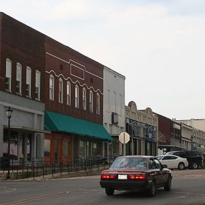 De Queen Commercial Historic District
 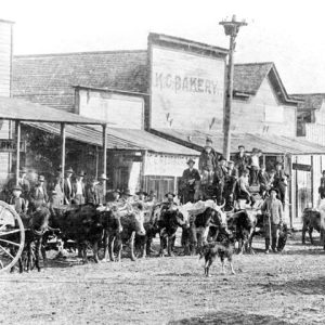 De Queen Street Scene
 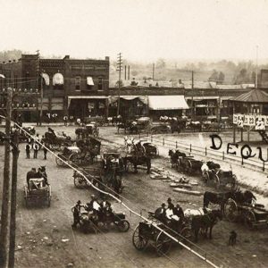 De Queen Street Scene
 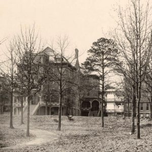 Deaf Mute Institute
 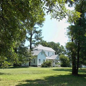 Dearing House
 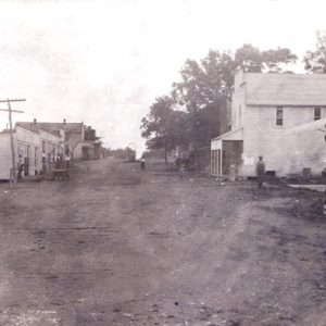 Decatur Street Scene
 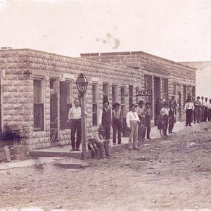 Decatur Street Scene
 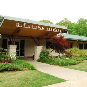 Dee Brown Library
 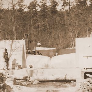 Deep-Notch Weir
 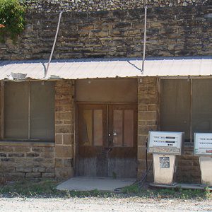 Defunct Business
 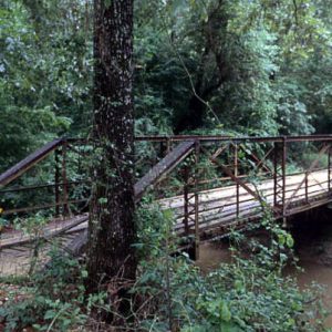 DeGray Creek Bridge
 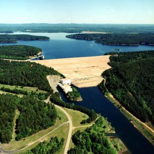 DeGray Dam and Lake
 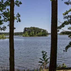 DeGray Lake
 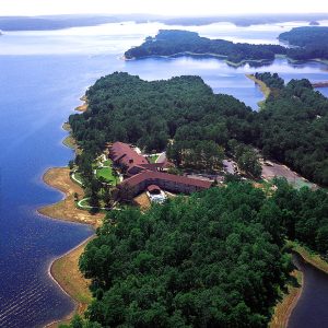 DeGray Lake Resort State Park
 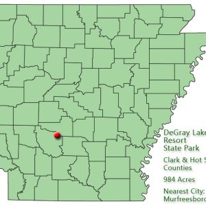 DeGray Lake Resort State Park: Park Location
 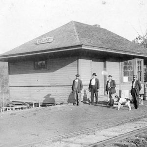 Delaney Depot
 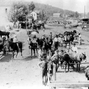 Delaney Street Scene
 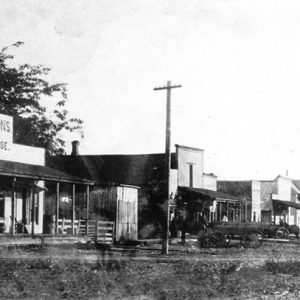 Delaplaine Street Scene
 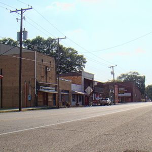 Delight Street Scene
 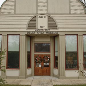 Delta Area Museum
 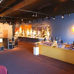 Delta Cultural Center
 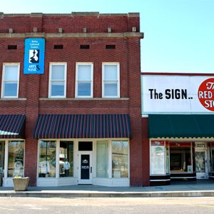 Delta Cultural Center
 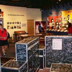 Delta Cultural Center
 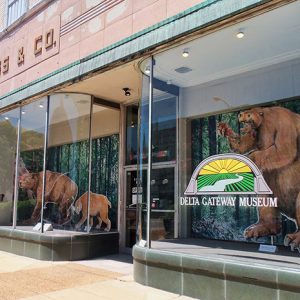 Delta Gateway Museum
 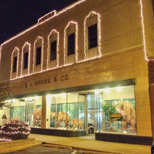 Delta Gateway Museum
 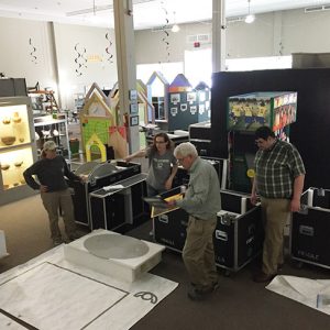 Delta Gateway Museum
 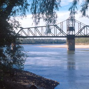 Delta Heritage Trail
 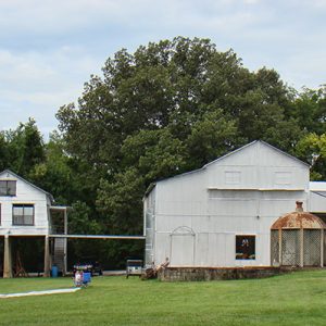 Delta Heritage Trail State Park
 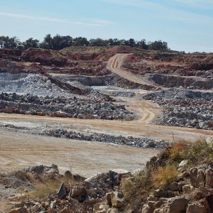 Denieville White Lime
 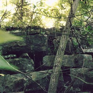 Denieville Lime Kiln
 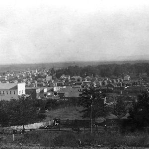 Denning
 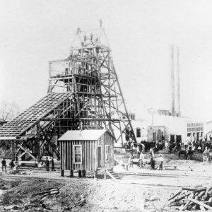 Denning Coal Mine
 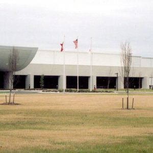 Denso Plant


