 Crowley's Ridge
Entry Type: Place - Starting with C
Crowley's Ridge
Crowley’s Ridge
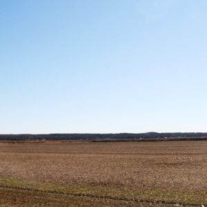
Crowley’s Ridge is a small yet distinctive natural region. It ranges in width from one to twelve miles and extends from southern Missouri across eastern Arkansas to Helena-West Helena (Phillips County). It is made up of a continuous series of rolling hills except for a slight break at Marianna (Lee County); this break or gap was created by the L’Anguille River as it flowed across the ridge. The ridge received its name from Benjamin Crowley, the first white settler to reach the area near present-day Paragould (Greene County), sometime around 1820. Also of note is that the Civil War Skirmish at Chalk Bluff was fought on Crowley’s Ridge on May 1–2, 1863. The Chalk Bluff Natural Area in Clay County …
Crowley’s Ridge College (CRC)
Crowley’s Ridge College (CRC) in Paragould (Greene County) is a co-educational liberal arts college providing a balanced course of study. Until it became a four-year institution in 2008, it was the only two-year college in the nation affiliated with the Churches of Christ. Crowley’s Ridge College opened its doors on July 6, 1964, as a Christian junior college. CRC’s founder, Dr. Emmett Floyd Smith Jr., had a strong desire to bring college-level Christian education to northeast Arkansas. Eleven years earlier, in 1953, Smith had established a Christian secondary school, Crowley’s Ridge Academy, and found that there was support for other Christian endeavors such as the Children’s Homes of Paragould and Crowley’s Ridge College. Governor Orval Faubus helped turn the first …
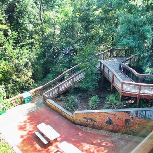
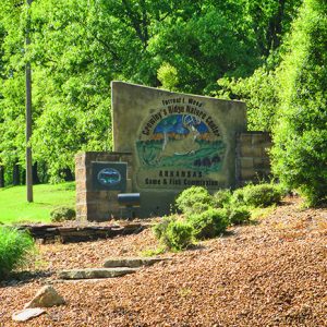
 Crowley's Ridge Nature Center
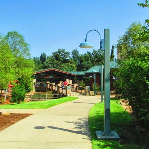
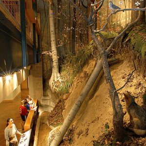
 Crowley's Ridge Nature Center Walkway
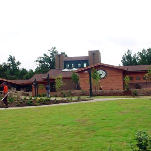
 Crowley's Ridge Nature Center
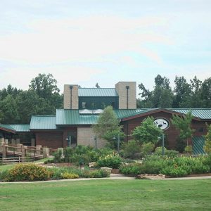
 Crowley's Ridge Nature Center Entrance
 Crowley's Ridge Nature Center
 Crowley's Ridge Nature Center
Crowley’s Ridge Parkway, National Scenic Byway
As Arkansas’s first National Scenic Byway, Crowley’s Ridge Parkway, merges six U.S. highways, nine Arkansas highways, and 11.5 miles of well-maintained gravel road through a national forest to track the crest of Crowley’s Ridge, the sole geographical phenomenon ridge formation in North America and one of only two similar geological ridge formations in the world (the other being in Siberia). The parkway stretches 198 miles over a half million acres in Arkansas, encompassing eight counties and eleven communities from St. Francis (Clay County) to Helena-West Helena (Phillips County). An additional 14.2 miles run through Missouri. As one of Arkansas’s three national byways—the other two being Talimena Scenic Byway and the Great River Road—Crowley’s Ridge Parkway is one of the 126 …
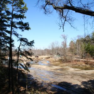
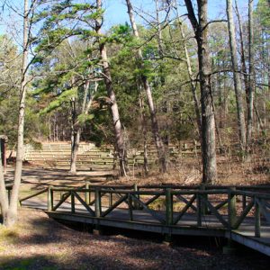
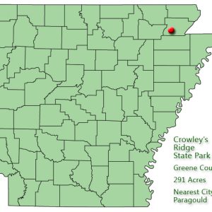
Crowley’s Ridge State Park
Crowley’s Ridge State Park in northeast Arkansas is a recreationally oriented park with a rich social and geological history. The park, situated on land that was homesteaded by nineteenth-century pioneer Benjamin F. Crowley, also preserves the structures built by young men in the Civilian Conservation Corps (CCC) during the 1930s. Arriving on the scene in 1820, Crowley was the first prominent white settler in the region. He selected the site for his plantation home because of the upland terrain and a spring, which continues to flow today. Crowley, a veteran of the War of 1812, became an acknowledged leader in northeast Arkansas and strongly supported the creation of Greene County on November 5, 1833. He died in 1842 at age …
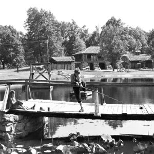 Crowley's Ridge State Park
 Crowley's Ridge State Park
 Crowley's Ridge State Park
 Crowley's Ridge State Park: Park Location
 Crowley's Ridge Technical Institute
Crowley’s Ridge Technical Institute
The Crowley’s Ridge Technical Institute (CRTI) was a technical college in Forrest City (St. Francis County) that provided skilled workers for local industries. It operated from 1967 to 2017, when it was merged with the nearby East Arkansas Community College (EACC). In 1966, the CRTI building on Newcastle Road was approved for construction by the State Board of Vocational Education; the building site was donated by the Forrest City Chamber of Commerce. Before it was completed, however, CRTI operated one welding class started by the Manpower Development and Training Act program with approval from the Department of Health, Education and Welfare, which provided $90,860 to finance the thirty-two-week program, covering both student costs and the salary for two instructors. This …
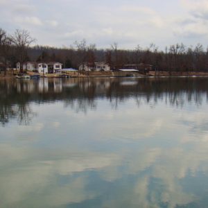 Crown Lake
Crows (Saline County)
Crows, often referred to as Crows Station, is an unincorporated rural community in Dyer Township of Saline County, located at the intersection of Arkansas State Highways 9 and 5, approximately thirteen miles west of Benton (Saline County) and twenty-one miles east of Hot Springs (Garland County). The community takes its name from Jehu Crow, a notable Saline County sheriff, county, and probate judge. Early settlers to the area farmed and hunted the rich lands along the Saline River and eastern Ouachita Mountains. One of the earliest families to arrive in the area was the Dyer family, in whose honor the township was named. Charles Dyer and sons Given, Hassary, John, and Charles came to Saline County from Kentucky in 1835. …
Crystal Bathhouse
The Crystal Bathhouse in Hot Springs (Garland County) was the first purpose-built bathhouse to exclusively serve the needs of African Americans in Arkansas. It opened in 1904 and became a destination for those who were attracted to the nationally known thermal waters of the Spa City during the era of the Jim Crow segregated South. The Crystal Bathhouse was located at 415 Malvern Avenue on Block 66 in the black business district of town. Two local contractors, Michael H. Jodd and Albert P. Aldrich, built the bathhouse. They chose architect John McCaslin to design a two-story brick building with parlors, dressing rooms, cooling rooms, tubs, vapor cabinets, restrooms, and eleven rooms for lodging accommodations. Externally, the building had double-hung sash …
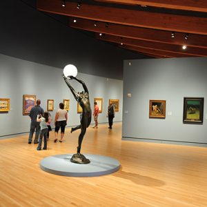 Crystal Bridges Museum of American Art
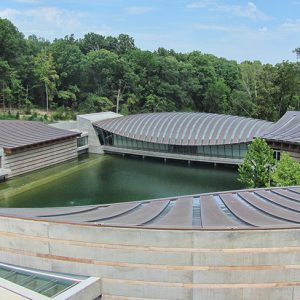 Crystal Bridges Museum
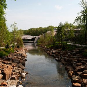 Crystal Bridges Museum of American Art
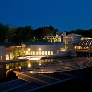 Crystal Bridges Museum of American Art
Crystal Hill (Pulaski County)
Crystal Hill is a geological formation on the north side of the Arkansas River near Murray Lock and Dam. It is also the name of a neighborhood in the city of North Little Rock (Pulaski County). Nearby Pyeatte-Mason Cemetery contains the graves of some of the early settlers of Crystal Hill. The formation, about seven miles upstream from downtown Little Rock (Pulaski County)—although many early travelers exaggerated the distance to fifteen miles—is a bluff consisting of sandstone and shale. It also contains significant amounts of iron pyrite, which sparkles in the sunlight. River travelers, seeing the sparkle, gave the hill its poetic name. East Arkansas settlers displaced by the New Madrid Earthquakes of 1811–1812 began to settle this part of …
 Crystal Hill Church
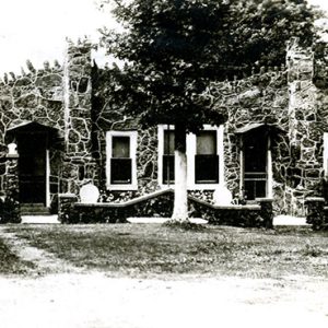
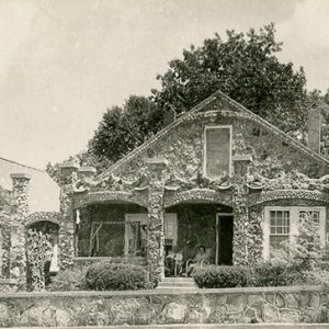
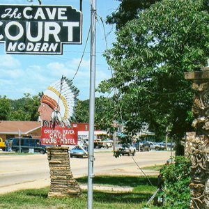
Crystal River Tourist Camp Historic District
aka: Crystal River Tourist Court
aka: Crystal River Cave and Court
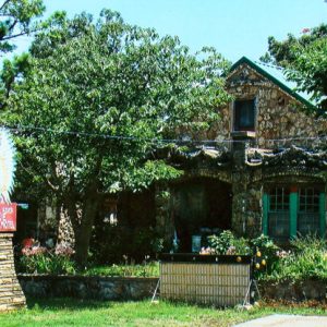
The Crystal River Tourist Camp Historic District is perhaps the most unusual tourist court in the state, and one of the most unusual in the country. The striking exteriors have remained largely unchanged since the structures were built by a local businessman and a stone mason in 1934. The court surrounds the entrance to the Crystal River Cave, a popular gathering place for which the town of Cave City (Sharp and Independence counties) was named. The Crystal River Cave and Courts, as it is now called, no longer functions as lodging, although the property’s owners offer tours of the cave by appointment. The Crystal River Tourist Camp Historic District was placed on the National Register of Historic Places on June …
 Crystal River Tourist Court
 Crystal River Tourist Court
 Crystal River Tourist Camp
 Crystal River Tourist Court
 Crystal Springs
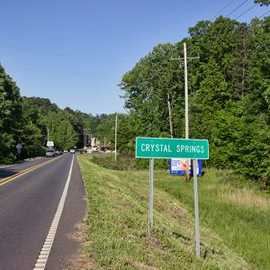
Crystal Springs (Garland County)
Crystal Springs (Garland County) is an unincorporated community located south of Lake Ouachita in the Ouachita National Forest. The community is about five miles west of Royal (Garland County) and seventeen miles west of Hot Springs (Garland County). The community is less than two miles south of Crystal Springs Campground on the shore of the lake. The Crystal Springs area was part of Montgomery County during its earliest settlement. On February 23, 1917, the easternmost portion of Montgomery County, including Crystal Township where Crystal Springs is located, was transferred to Garland County. Settlement of the area did not begin until after the end of the Civil War. Early settlers in the area include Francis Springer, who obtained 160 acres from …
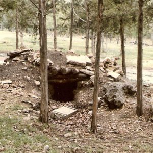 CSA Bunker
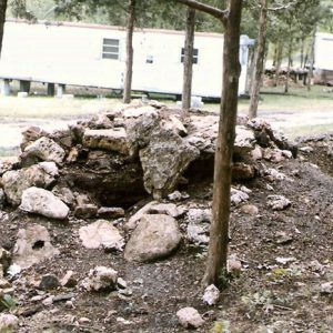 CSA Compound
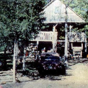 CSA Compound
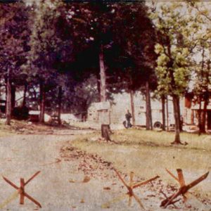 CSA Compound Entrance
 CSA Weapons Seizure
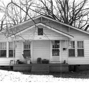
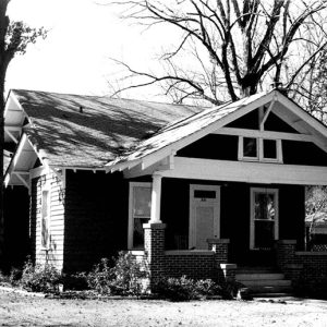
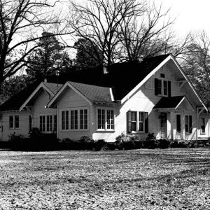
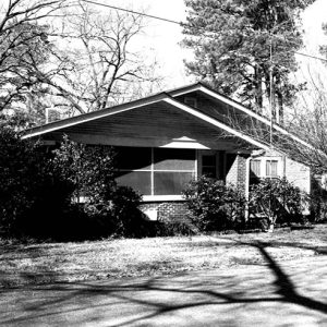 CSHD Home
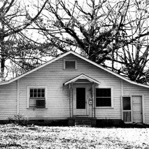
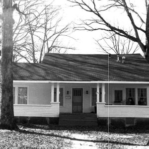
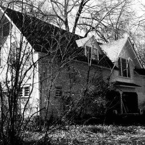 CSHD Home
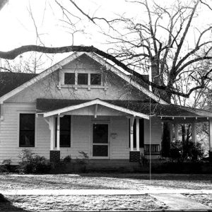
 CSHD Home
 CSHD Home
 CSHD Home
 CSHD Home
 CSHD Home
 CSHD Home
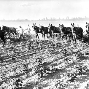 Cultivating Cotton
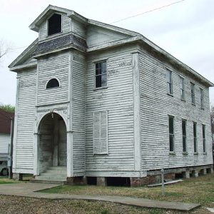
 Cumberland College
 Cumberland Presbyterian Church
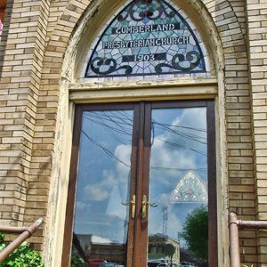 Cumberland Presbyterian Church


