Entry Type: Place

Batesville (Independence County)

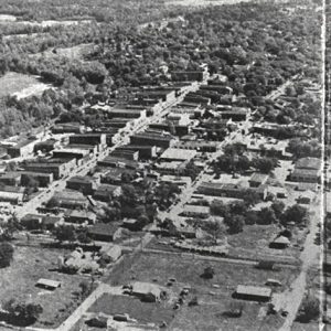
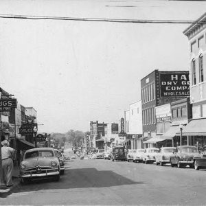
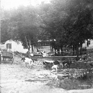
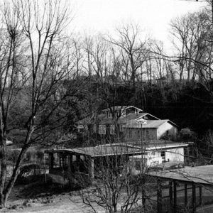
Geographically, Batesville was destined to exist. It stands at the point where waters of the White River exit from the sedimentary stone of the Ozarks. River traffic was forced to stop at the shoals to offload cargo, regardless of the direction of travel. Warehouses, supply stores, and buyers of furs and produce naturally congregated there. The town became one of the major cultural centers of the region. In the nineteenth century, its leaders, many of whom moved to Little Rock (Pulaski County), exercised influence on the political development of Arkansas far beyond what its modest size promised. Louisiana Purchase through Early Statehood The first Euro-American settlers, French fur-traders who were in the valley possibly as early as the mid-eighteenth century, left …

Bathhouse Row

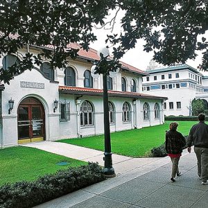
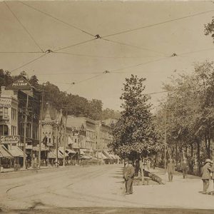
Bathhouse Row Historic District extends along the foot of the mountain that gives rise to the thermal springs in Hot Springs National Park. Located in downtown Hot Springs (Garland County), the scene is dominated by the most recent of a succession of bathing buildings dating back to 1830. Bathhouse Row includes eight surviving bathhouses: the Hale, Maurice, Buckstaff, Fordyce, Superior, Quapaw, Ozark, and Lamar. The landscape features sculptured fountains, water displays, and the Grand Promenade. Bathhouse Row has become the architectural core for downtown Hot Springs. History The first structures in the area to take advantage of the thermal springs were likely the sweat lodges of local Native Americans, which were followed by an unplanned conglomeration of buildings subject to …

Batteries A, B, C, and D (Battle of Helena)

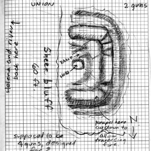
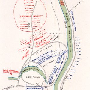
Batteries A, B, C, and D are fortifications used by the Federal army during the Civil War to protect the city of Helena (Phillips County) from enemy attack. Along with Fort Curtis, these fortifications formed the core of the Helena defenses, most notably during the July 4, 1863, Battle of Helena. When the Army of the Southwest arrived in Helena after the Battle of Pea Ridge, Major General Samuel Ryan Curtis immediately began to fortify the approaches to the city. As Helena was deep in Confederate territory, the forts were necessary to prevent the destruction of the Union army in the town. The batteries were named A, B, C, and D, with A at the northern edge of the line …

Battle Mound Site

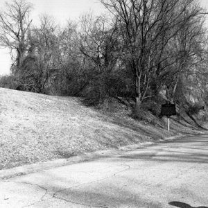
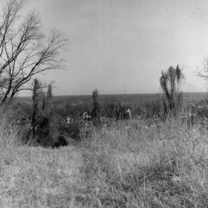
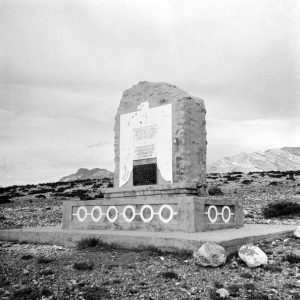
The Battle Mound site is a Caddo site located along the Red River in Lafayette County. The Red River landscape is an ecologically diverse region with numerous channel scars, oxbow lakes, and back swamps. With agriculturally productive soil deposits and a web of linked navigable waterways, the region has numerous prehistoric and historic archaeological sites, many being sites left by the ancestors of the Caddo Indians who lived in this area from at least as early as circa AD 900 and as late as the early nineteenth century. The most prominent feature at Battle Mound is a large north-south-aligned earthen mound with at least three platforms. The mound is the largest in the Caddo area and one of the largest …

Bauxippi (Crittenden County)

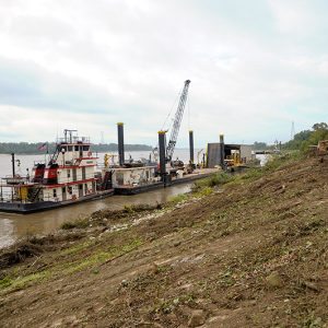
Bauxippi was a short-lived shipping point on the Mississippi River in Crittenden County established by the American Bauxite Company in 1917. The name comes from a combination of the words “bauxite” and “Mississippi.” Very little is known about the community. The first mention of it in the Arkansas Gazette was in the March 7, 1917, issue, which noted that the American Bauxite Company was planning to “resume shipments by a combination rail and water route, sending ore via the Rock Island from here [Bauxite in Saline County] to a new shipping point on the Mississippi, called Bauxippi, and thence by river to East St. Louis.” During World War I, demand had increased for bauxite ore, which is used in the …

Bauxite (Saline County)

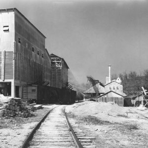
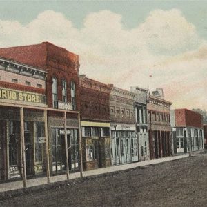
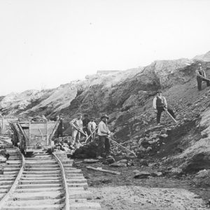
The story of Bauxite is largely the story of the bauxite mining industry. Bauxite, the ore from which the town derives its name, and which is a key component in the production of aluminum, was discovered in great abundance in this area of central Arkansas in 1887. The company that became Alcoa, which mined the ore, not only provided plants and mills but also provided a community for its workers to live in. As the company cared for its workers, the town was able to exceed all expectations and produce enough ore to supply the United States military during two world wars. With the end of World War II, however, the company found it more profitable to mine bauxite ore …

Baxter County

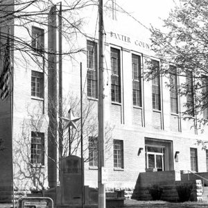
  Governor Elisha Baxter formed Baxter County as the sixty-eighth county in Arkansas just prior to the Brooks-Baxter War. It is a county important to Arkansas history because of its flood control projects and its early educational institutions. Most of the land in Baxter County is hilly and rocky, typical of the Ozark Plateau on which it lies. Pre-European Exploration and Settlement Hundreds of prehistoric sites, representing various time periods and traditions, are found in Baxter County. The Old Joe site, which includes two prehistoric rock art images, is located near Norfork and is listed on the National Register of Historic Places. By the time of the Louisiana Purchase, the Osage claimed control over the area, but they relinquished their …

Bay (Craighead County)

Bay (Craighead County) is located in northeast Arkansas between Trumann (Poinsett County) and Jonesboro (Craighead County) and has long been known as a farming community. Once populated with long-time generational residents, it is now occupied largely by younger adults who migrated from larger cities. The first settlers arrived in the early 1800s, and although Native Americans had already left the area, their remnants have been discovered. Indian mounds can be found on Bay’s north side. Originally, three such mounds existed, but only two remain. These mounds were investigated in 1883 for the Bureau of American Ethnology. The mounds have never been fully investigated, and their purpose remains uncertain. Local legend holds that the mounds were sacred burial grounds and give …

Bayou Bartholomew

Located in southeast Arkansas, Bayou Bartholomew was, until the construction of railroad lines in the area in 1890, the most important stream for transportation in the interior Delta. While the Arkansas and Mississippi rivers served their adjoining areas, it was the bayou that provided a transportation route into an otherwise landlocked area. This route allowed the development of one of the richest timber and agricultural tracts in the Delta. Bayou Bartholomew has the distinction of being the longest bayou in the United States, beginning its meandering 359 miles in Jefferson County and passing through Lincoln, Desha, Drew, Chicot, and Ashley counties before proceeding into Morehouse Parish, Louisiana, where it eventually empties into the Ouachita River near Sterlington. The present bayou …

Bayou Meto

Bayou Meto is a slow-moving stream that originates in northern Pulaski County at the confluence of several creeks west of Little Rock Air Force Base and travels 150 miles south and east through Lonoke, Arkansas, and Jefferson counties before emptying into the Arkansas River a few miles southwest of Gillett (Arkansas County); it forms parts of the boundary lines between Lonoke and Prairie counties and Arkansas and Jefferson counties. The bayou has lent its name to different communities along its path, a Civil War action in Pulaski County, and the first wildlife management agency (WMA) established by the Arkansas Game and Fish Commission (AGFC). The origins of the bayou’s name are a matter of debate. Some early French documents dub …

Bear (Garland County)

Bear of Garland County was a boom town of the 1880s whose phenomenal growth was fueled by rumors that gold, silver, and other precious metals could be found in the nearby Ouachita Mountains. One enterprising fraud claimed to have found the legendary Lost Louisiana Mine. However, all such rumors ultimately proved false, and the town diminished as quickly as it had grown. Before the gold rush, people had homesteaded in the area around Bear Mountain—the mountain from which the town later took its name. One early settler was Melson Larkin. The first post office was established in 1882. As early as 1884, rumors of gold in the area began to spread. That year, the first plat of Bear was filed. A …