Boone County Regional Airport
The Boone County Regional Airport is located three miles outside of Harrison (Boone County). The airport is a mixed-use airport, with the majority of usage coming from general aviation. It is estimated that, in 2015, the airport provided 120 jobs and had an economic impact of over $12 million to the local economy. The first flight to what is now the Boone County Regional Airport was in 1921. It was flown by Earl Rowland, a local flying legend. He was a World War I pilot, a test pilot for Cessna Aircraft, a member of the World War II Air Transport Command, and winner of five national air races. Although his landing in Harrison in 1921 inaugurated aviation to the area, …
 Bridge 178
 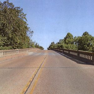 Bridge Street
 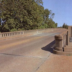 Bridge Street Bridge
 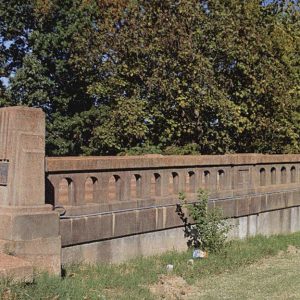 Bridge Street Bridge Guard Rail
 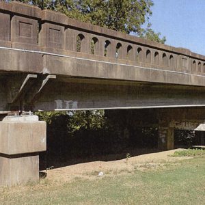 Bridge Street Bridge Support
 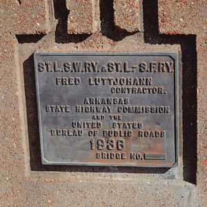 Bridge Street Dedication Plaque
 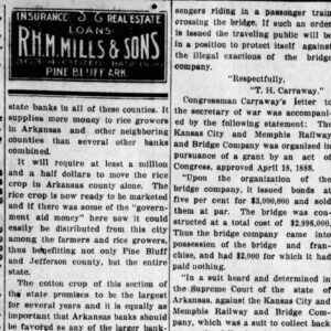 Bridge Tolls
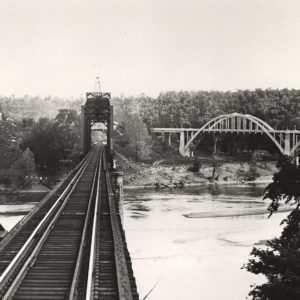
  Broadway Bridge
  Broadway Bridge Demolition
  Broadway Bridge Remodel
  Bruno
Bruno 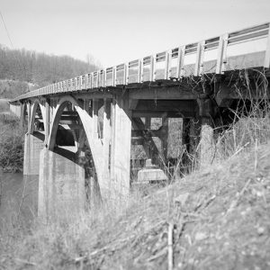 Buffalo River Bridge
 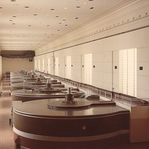 Bull Shoals Dam Power Plants
 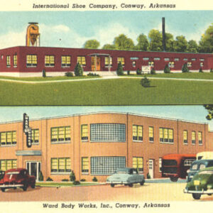 Bus and Shoe Companies
  Bus Station
 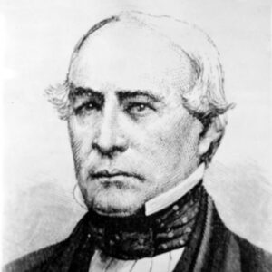 John Butterfield


