Transportation

Subcategories:
Clear

Entry Category: Transportation
Rodgers, James Ronald, Sr.

James Ronald Rodgers Sr. was the nation’s first African American to be appointed manager of a major commercial airport, the first Black head of a major independent city agency in Little Rock (Pulaski County), and the state’s first Black commercial loan officer. James Rodgers was born on March 15, 1947, in Little Rock to Homer and Ruth Rodgers. The fifth of six children, he spent his childhood in the Tuxedo Courts housing development south of Roosevelt Road. Rodgers grew up working with his mother, brothers, and sister for his father’s janitorial service. After graduating from Horace Mann High School in 1965, Rodgers attended Little Rock University—now the University of Arkansas at Little Rock (UA Little Rock)—for a year and a …

Saline County Regional Airport

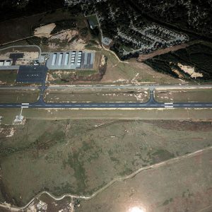
The Saline County Regional Airport, now located at 1100 Hill Farm Road in Bryant (Saline County), has a history dating back to World War II. Governed by the Saline County Regional Airport Commission, the airport serves hundreds of small-aircraft pilots daily. The airport sits on 1,200 acres of open field located southeast of Bryant, eight miles from Little Rock (Pulaski County). The Saline County Regional Airport features thirty-six T-hangars, ten private hangars, and three large corporate hangars. The first privately owned airstrip in Saline County was built outside Benton (Saline County) by Mike Richards, a used-car dealer and contractor, in 1942. However, Richards’s airstrip was bisected when Highway 67/70 was built in the late 1950s. On March 9, 1958, the …

Scenic Byways

Scenic byway designation recognizes noteworthy travel routes that provide unique travel experiences. Arkansas has several national and state scenic byways, in addition to others that are located within the boundaries of U.S. national forests. The U.S. Congress established the National Scenic Byways program as part of 1991’s Intermodal Surface Transportation Efficiency Act to help communities “balance economic development and resource conservation.” The program was strengthened by subsequent federal legislation in 1997 and 2005. It is administered by the U.S. Department of Transportation, Federal Highway Administration. To qualify as a National Scenic Byway, a route must exhibit one or more “intrinsic qualities”: it must be scenic, historic, natural, recreational, cultural, or archeological. Applications for National Scenic Byway status require “strong community …

Schilberg, Richard

Richard Schilberg was an aviation pioneer whose early efforts in Stuttgart (Arkansas County) made him Arkansas’s first acknowledged aircraft manufacturer. Richard Schilberg was born on September 28, 1887, at Canada, Kansas, the son of Gottlieb Schilberg and Juliana Heidt Schilberg. He moved to Stuttgart in 1909 and opened a welding shop, initially specializing in agricultural machinery. He married Gladys Fricker on January 28, 1913. They divorced in 1926 and he married Mable Stilzen in 1927. The couple took their first airplane rides in June 1913, when one of Arkansas’s first aerial exhibitions came to the town. Increasingly interested in flying, he began building aircraft in Stuttgart by 1914, becoming the first major promoter of aviation in the Grand Prairie region. …

Sebastian County Road 4G Bridge

The Sebastian County Road 4G Bridge, located on what is now West Harmony Road where it crosses a tributary of Sugar Loaf Creek near West Hartford (Sebastian County), is an open masonry substructure bridge constructed in 1940 through the Works Progress Administration (WPA), a Depression-era public relief agency. Sebastian County leaders in 1939 decided to undertake an ambitious and widespread effort to improve rural roads throughout the county with assistance from President Franklin D. Roosevelt’s New Deal agencies. They applied for funding from the WPA and on December 11, 1939, that organization approved $1,226,362 for a county-wide project to “improve roads, including clearing; grubbing; excavating and grading; constructing curbs, gutters and bridges; draining; laying pipe; surfacing; and performing incidental and …

Shady Lake CCC Bridges

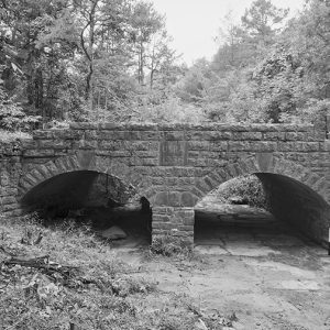
The Shady Lake CCC Bridges were nominated to the National Register of Historic Places under Criterion A with local significance for their association with the work of the Civilian Conservation Corps (CCC) in Polk County. The bridges, completed by crews from Camp Shady in December 1936, were constructed as a part of the Shady Lake Dam project begun in October 1935. The CCC originally developed the area for recreational purposes, and the bridges and road still service numerous camping and picnicking sites around the lake in the twenty-first century. The Shady Lake CCC Bridges were also nominated under Criterion C with local significance as a good example of CCC native-stone bridge construction. These single-span structures are supported by arched, corrugated …

Shreve, Henry Miller

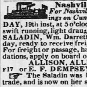
Henry Miller Shreve was a steamboat captain and inventor who is noted for performing much-needed clearance work on America’s major river systems during the first half of the nineteenth century. This work included using his own specially designed snag boat to clear large obstructions from the Arkansas River between Pine Bluff (Jefferson County) and Little Rock (Pulaski County), greatly aiding steamboat travel and trade in the state of Arkansas. Henry Shreve was born on October 21, 1785, in Burlington County, New Jersey, to Isaiah Shreve and his second wife, Mary Cokely. He had four half-siblings from his father’s first marriage to Grace Curtis. Henry, the fifth child born to Isaiah and Mary, was barely three when, in 1788, his father …

Silitch, Mary Frances

Mary Frances Files Silitch is the first woman to be editor-in-chief of a national aviation magazine. A licensed pilot, she has flown 250 kinds of aircraft and logged 5,000 hours of flight. Mary Frances Files was born on November 9, 1935, in Little Rock (Pulaski County) to William Thomas Files and Johnnie Caldwell Files of Parkdale (Ashley County); she has two sisters. Her first flight was in an open-cockpit crop-duster airplane over the family farm at the age of four. She attended schools in Parkdale and Wilmot (Ashley County) but graduated from All Saints Episcopal School in Vicksburg, Mississippi. She attended Southwestern at Memphis (now Rhodes College), where she began her journalism career as the managing editor of the Sou’wester, …

Snag Boats

As American settlers pushed westward following the Louisiana Purchase in 1803, their goals of settlement, civilization, and trade were hindered by the hazardous nature of the western rivers. The pioneers found the Mississippi River and its tributaries, such as the Arkansas and Red rivers, filled with obstacles and debris. Snag boats, tasked with the removal of sunken trees and the clearing of the rivers, were one of the first answers to the growing loss of life and property. The navigability of the rivers became a priority to settlers, who believed the future prosperity of the Lower Mississippi Valley and the western frontier, including Arkansas, was acutely tied to the safety of river trade. As western river trade became more important …

South Arkansas Regional Airport

aka: Goodwin Field
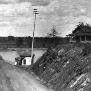
The South Arkansas Regional Airport at Goodwin Field is located eight miles west of El Dorado (Union County). The airport is owned by the municipality of El Dorado and is a mixed-use airport primarily used for general aviation. There has been spotty commercial service in the history of the airport. The airfield was constructed in the early 1940s by the Civil Aeronautics Administration under the auspices of the National Defense airport program. The terminal building was built in 1947. There is minimal evidence that the Army Air Force actually used the airport to a great extent during World War II, despite the construction of it for that purpose. The airport uses two asphalt runways, the longer one (4/22) at 6,601 …

Southwest Trail

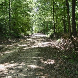
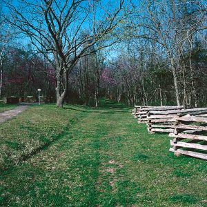
The Southwest Trail is a general term referring to a network of routes connecting the mid-Mississippi River Valley (the St. Louis-St. Genevieve area of Missouri) to the Red River valley (northeast Texas) in the nineteenth century. Most of the trail crossed Arkansas from northeast to southwest, entering at Hix’s Ferry (later Pitman’s Ferry) across the Current River in Randolph County and exiting at several crossings of the Red River south and west of Washington (Hempstead County). It followed the edge of the eastern terminus of the Ozark Plateau in northeast Arkansas and of the Ouachita Mountains in central and southwest Arkansas. The trail avoided the swamps, which covered much of eastern Arkansas, while skirting the foothills of the Ozarks and …

Springfield to Fayetteville Road

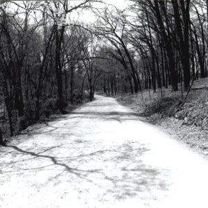
The Springfield to Fayetteville Road was built upon elaborate networks of horse trails that were likely established by the Osage. The trails extended into northwestern Arkansas and as Springfield, Missouri, was being established in southwestern Missouri in the late 1820s, settlers co-opted the established trails for their own use. The trail from Springfield to Fayetteville (Washington County) came to be called by that name and was established in 1835, totaling 146 miles. It was the major road prior to the 1838 establishment of what later became known as the Wire Road or Telegraph Road by the United States military. Also called Pioneer Road, the Springfield to Fayetteville Road was employed by the U.S. Army in 1838 to remove Native Americans …

Springfield–Des Arc Bridge

aka: Springfield Cadron Bridge
aka: Springfield Bridge
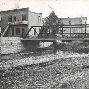
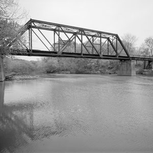
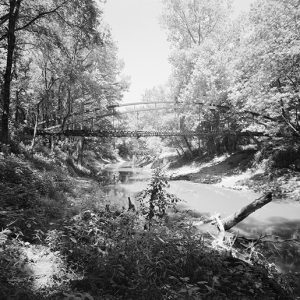
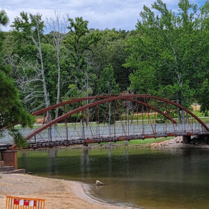
The Springfield Bridge is the oldest bridge in Arkansas, although it has been moved from its original location. It was erected in 1874 across the North Cadron Creek three miles east of Springfield (Conway County) on the Springfield–Des Arc Road. This early thoroughfare connected Des Arc (Prairie County), a thriving port for steamboat traffic on the White River, with Springfield, the county seat of Conway County from 1850 to 1873. Before the bridge was built, C. A. Simmons operated a ferry at the river crossing, charging five cents for a pedestrian, fifteen cents for a person on horseback, or seventy-five cents for a two-horse spring carriage. On November 8, 1871, Conway County awarded a contract to the King Bridge Company …

St. Francis National Scenic Byway

The St. Francis Scenic Byway is a twenty-one-mile stretch of road wholly within the St. Francis National Forest linking Helena-West Helena (Phillips County) and Marianna (Lee County) and traversing the hilly southern portion of Crowley’s Ridge; it is designated a National Forest Scenic Byway. The route merges Arkansas Highway 44 and Forest Service Road 1900, combining nine miles of pavement and fourteen miles of well-tended gravel. Rambling across national forest lands, this corridor is included in both the Crowley’s Ridge Parkway and the Great River Road. The Federal Highway Administration oversees the National Scenic Byways Program, America’s Byways, yet the title “byway” may be bestowed by some 600 byway organizations, both government and private. The National Forest Service initiated its …

St. Joe Historical Missouri and North Arkansas Depot and Museum

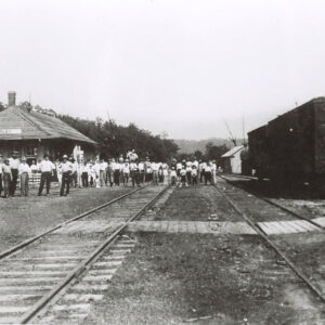
The St. Joe Historical Missouri and North Arkansas Railroad Depot and Museum, which is located in St. Joe (Searcy County), is a repository of railroad and local history. It also serves as an area tourist information center. The museum, which opened in May 2011, is housed in the 1902 Missouri and North Arkansas (M&NA) Railroad depot. When the M&NA ended area service in 1946, the depot closed after over forty-three years of operation. Over the next few years, the building was used as a church, to provide classrooms for the local school district, and as a feed store. Once the feed store went out of business, the vacant building began to deteriorate into a community eyesore. A movement to preserve …

St. Joseph [Steamboat]

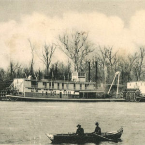
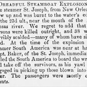
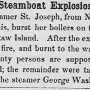
The St. Joseph was a steamboat that burst a boiler on the Mississippi River on January 23, 1850, resulting in the deaths of between fifteen and twenty passengers and crew members. The St. Joseph was a 217-ton sidewheel paddleboat built at St. Louis, Missouri, in 1846 that ran a route along the Mississippi between St. Louis and New Orleans, Louisiana. The St. Joseph was heading up the Mississippi River on January 23, 1850, with a load of passengers—many of whom were immigrants—and cargo when, while apparently racing with the steamboat South America, its larboard boiler burst as the vessel neared the mouth of the Arkansas River. The boiler blew backward, killing a boy and mortally wounding the ship’s second engineer. …

St. Louis Southwestern Railway

aka: Cotton Belt
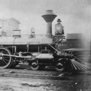
The St. Louis Southwestern Railway began in Tyler, Texas, in 1875. Construction began in Arkansas in 1881. When completed in 1883, the railroad ran diagonally across the state from Texarkana (Miller County) to St. Francis (Clay County). In 1930, the company operated 712 miles of track in Arkansas. The Cotton Belt, as it was better known, would reach its peak mileage in the state in the early 1930s. By the middle to late 1930s, the Great Depression and declining passenger revenue led the railroad to begin abandonment of many of its subsidiary companies and branch lines. Southern Pacific Railroad gained control of the Cotton Belt in 1932 in an effort to gain connections to eastern markets at St. Louis, Missouri, …