Transportation

Subcategories:
Clear

Entry Category: Transportation

Norfork Dam and Lake

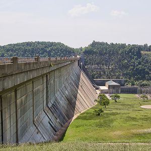
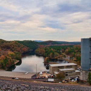
Built on the North Fork River, just upstream from its confluence with the White River in Baxter County in north-central Arkansas, Norfork Dam and Lake are named after the nearby town of Norfork (Baxter County). The dam was authorized by Congress in the Flood Control Act of 1938, and construction began in the spring of 1941, making it one of the oldest U.S. Army Corps of Engineers’ multi-purpose concrete structures. The reservoir extends north from the dam site to near Tecumseh, Missouri, and covers portions of Baxter and Fulton counties in Arkansas and Ozark County in Missouri. The drainage area controlled by the reservoir is about 1,806 square miles. The project also contains a powerhouse that houses the generators and …

North Little Rock Municipal Airport

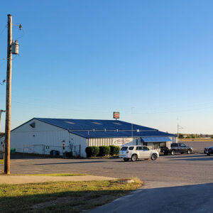
The North Little Rock Municipal Airport, owned by the City of North Little Rock (Pulaski County), is located four miles north of that city’s business district. The airport is an officially designated general aviation reliever airport, meaning that the overwhelming majority of usage for the airport comes from general aviation, not commercial flights. In 2015, the total economic impact of the airport was estimated at 138 jobs and just under $16 million provided to the local economy. In 1949, 570 acres of land were acquired for construction of the airport, which would have two runways. The airport was officially opened in September 1960. Some portions of the airport had already been in use, including a runway. In honor of the …

Northwest Arkansas National Airport (XNA)
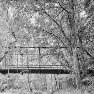
Northwest Arkansas National Airport, or XNA after its International Air Transportation Association (IATA) code, is located in Highfill (Benton County) and is roughly equidistant from Bentonville (Benton County), Fayetteville (Washington County), Rogers (Benton County), Siloam Springs (Benton County), and Springdale (Washington County). It is a mixed-use airport with both commercial and private airplanes. It has the second-largest amount of scheduled commercial service in the state of Arkansas. Local business leaders including Sam Walton, founder of Walmart Inc., and several local and state elected officials joined together to push for a new airport. Due to the rapid growth in population and business (especially the continued expansion of Walmart Inc.), Drake Field, located outside of Fayetteville, was deemed no longer adequate for …

Old Arkansas 51, Curtis to Gum Springs
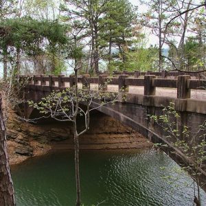
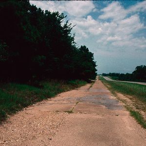
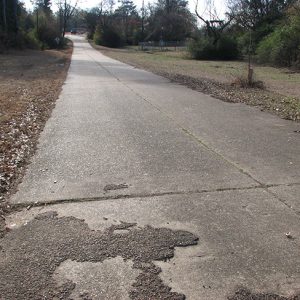
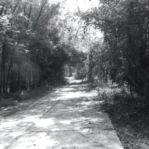
Old Arkansas 51 is an abandoned highway located in Clark County between the towns of Curtis and Gum Springs. Constructed in 1931, it was replaced by U.S. Highway 67 in 1965. This stretch of highway was added to the National Register of Historic Places on January 21, 2004. The communities of Curtis and Gum Springs were settled in the late nineteenth century, and each served as stops on the Missouri Pacific Railroad. The two settlements were connected by roads, which were improved over the decades. The roads evolved from the Southwest Trail, one of the earliest roads in the state. Named Arkansas Highway 51, the road linking the communities became part of the Arkansas Highway System when it was created …

Old Highway 16 Bridge

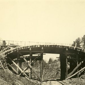
The Old Highway 16 Bridge, located on Lakefront Resort Road near Edgemont (Cleburne County), is a reinforced concrete, closed-spandrel deck-arch bridge built in 1936 with assistance from the Works Progress Administration (WPA), a Depression-era federal relief program. It was listed on the National Register of Historic Places on May 11, 2011. Edgemont began as the Kinderhook settlement in the mid-nineteenth century but did not thrive until the arrival of the Missouri and North Arkansas (M&NA) Railroad in 1908, after which the town had a bank, three sawmills, a cotton gin, a lumber company, and several restaurants. A result of the railroad construction was the “Edgemont Cut,” which sliced through a steep ridge that ran between Edgemont and the middle fork …

Old River Bridge

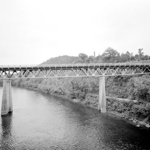
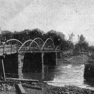
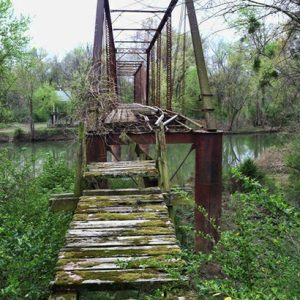
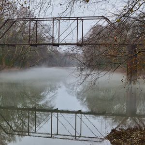
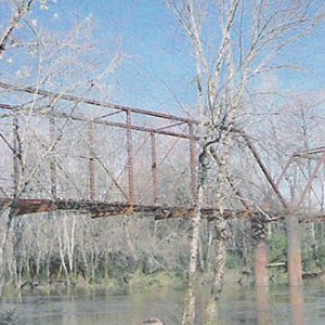
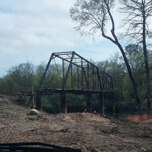
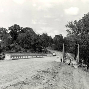
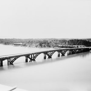
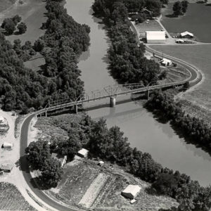
The Old River Bridge spanned a section of the Saline River at the end of River Street in Benton (Saline County). It is one of the oldest remaining bridges of its kind in the state. The Old River Bridge spans 260 feet and is composed of iron beams, two large trusses, and a wooden platform supported by iron columns. The bridge itself dates back to an act of the Saline County Court, which appropriated $5,000 “for the construction of an iron bridge over the Saline River at the Military Road Crossing” in 1889. Construction was completed in 1891 by Youngstown Bridge Company of Youngstown, Ohio. The land around it is also important, having been the site of William Lockhart’s settlement …

Old U.S. 79 Kingsland Segment

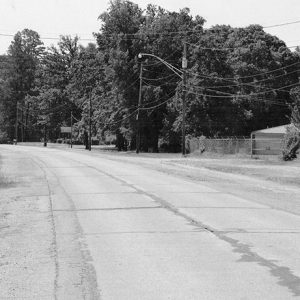
Constructed in 1916, Old U.S. 79, Kingsland Segment, is a historic road located in Kingsland (Cleveland County). The segment measures almost 2,150 feet in length. Added to the National Register of Historic Places on September 28, 2005, it continues to serve as a local road. Kingsland incorporated in 1884, shortly after the Cotton Belt Railroad was constructed in Dorsey County. The heavily timbered county was renamed Cleveland County in 1885 to honor President Grover Cleveland. The railroad and other transportation systems became vitally important to the development of the economy of the county, as they were ways to get timber and other crops to market. By 1890, Kingsland was a thriving small community with a post office, a furniture factory, …

Old U.S. Highway 67

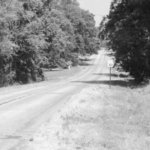
Highway 67 was one of the original highways included when the Arkansas State Highway System was formed in 1923; it was also one of the first Arkansas highways to be integrated as part of the U.S. highway system in 1925. By the late 1920s, Highway 67 was in need of serious improvement. The Arkansas State Highway commission began a major effort to upgrade and improve Arkansas’s major highways, including Highway 67, through the 1930s. Five sections of the highway and one rest area from this period, as well as a bridge and a rest area, have been listed on the National Register of Historic Places. The route of the highway followed that of the Southwest Trail of the early 1800s, …

Old U.S. Highway 71

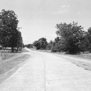
Originally constructed over several years in the 1920s and 1930s, U.S. Route 71 began serving as a major thoroughfare in western Arkansas. Bypassed by new construction between the 1950s and 1980s, what is now referred to as Old U.S. Route 71 has six sections listed on the National Register of Historic Places. Each section listed on the register continues to carry local traffic in the twenty-first century, which is a testament to the sturdiness of the construction. The various sections of the road were constructed in a similar manner. Made of Bates-type concrete, the road surface includes tan stone mixed with concrete and laid over a wire frame. The road includes nine-foot-wide lanes that are separated by a four-and-a-half-inch-wide gap …