Pulaski

Subcategories:
  • No categories
Clear

Entry Category: Pulaski

Roland (Pulaski County)

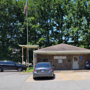
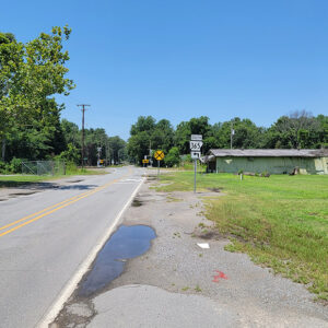
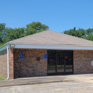
Roland is an unincorporated community north of Pinnacle Mountain State Park in western Pulaski County, not far from the Arkansas River. It is crossed by State Highway 300, part of which is a component of the Arkansas River Trail, a pedestrian and bicycle trail that goes through Little Rock (Pulaski County) and North Little Rock (Pulaski County). Once a stop on the Rock Island rail line, Roland is home to nearly 750 residents; its post office also serves nearby Natural Steps (Pulaski County), as well as many rural residents and businesses in the area. The Roland post office was established in 1884, several years before the arrival of the railroad. Although the origin of the name is unknown, the post …

Scott (Pulaski and Lonoke Counties)

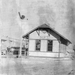
Scott is a small community on the line between Pulaski County and Lonoke County, north of the Arkansas River. Surrounded by farmland and by oxbow lakes, Scott is also near two state parks and several historic properties. Over the centuries, events such as floods, droughts, and—most recently—human construction have altered the path of the Arkansas River. Remnants of former sections of the river remain near Scott as oxbow lakes, particularly Bearskin Lake, Horseshoe Lake, and Willow Beach Lake. More than 1,000 years ago, a complex formation of mounds was created near what is now called Mound Pond. The site was farmed in the nineteenth century but was later preserved as Plum Bayou Mounds Archeological State Park. Not only did the …

Sherwood (Pulaski County)

Sherwood is a city in Pulaski County central Arkansas just north of North Little Rock (Pulaski County). In 1990, Sherwood was named the fastest-growing town in Arkansas, in terms of both population and area, as it has annexed land many times over the years. Sherwood began in the late 1800s as a small farming community known as Sylvan Hills. Few families lived there until the early 1900s. For many years, they had no running water, electricity, or utilities. Another part of modern Sherwood is the lowland area known as Brushy Island, where both white and African American farmers lived; this area was the site of a series of events called the “Brushy Island Riots” in the late 1910s. Around 1923, …

Sweet Home (Pulaski County)

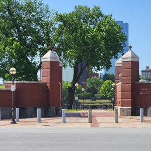
The small, rural community of Sweet Home (Pulaski County) is a majority Black community in Pulaski County. Of more than two dozen communities in Arkansas named Sweet Home to have obtained a post office (done on May 29, 1877), this is the only community to have maintained it to the present. Its Hanger Cotton Gin is Arkansas’s oldest cotton gin on the National Register of Historic Places, dating back to at least the 1870s. From 1890 to 1955, Sweet Home housed Arkansas’s Confederate Soldiers’ Home until it moved to Little Rock (Pulaski County); only two entrance pillars and low parts of the front stone wall remain. Sweet Home had the state’s only Florence Crittenton Home for Black unwed mothers, begun …

West Ninth Street (Little Rock)

aka: West 9th Street
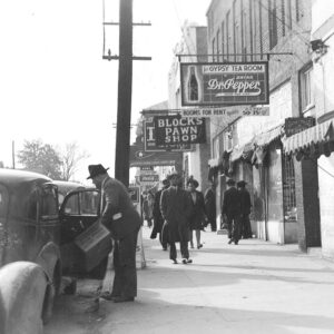
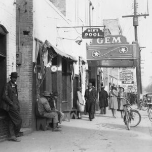
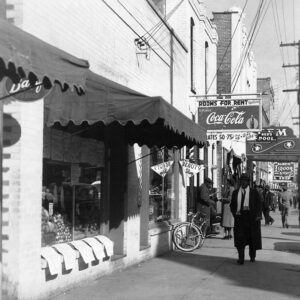
West Ninth Street in Little Rock (Pulaski County) emerged as a predominately African American neighborhood during the Civil War. In 1863, the Federal army, which occupied Little Rock, began constructing log cabins in the area for freed slaves. After the war, many stayed and settled there. By 1870, what was originally known as Little Rock’s West Hazel Street was renamed West Ninth Street. More African Americans settled west of Mount Holly Cemetery between 9th and 12th streets. As the population grew, a five-block section along West Ninth Street, between Broadway and Chester, became the center of the Black business district. During the late nineteenth and early twentieth centuries, African Americans created fraternal organizations, one of the most prominent of which …

Woodson (Pulaski County)

Woodson is a community in southern Pulaski County, north of Hensley (Pulaski County) and east of Interstate 530. Although it was incorporated on January 17, 1882, as a timber town and a stop on the Little Rock, Mississippi River and Texas Railroad, Woodson continued to operate as an unincorporated area, leading to confusion eighty years later. William D. Pennington acquired land in the area that would become Woodson in 1843. His son, William Q. Pennington, established a post office called Pennington’s Mills in 1855. In 1860, James Jones and John Little also purchased land in the area. The Civil War had little direct impact upon the area during the course of the fighting, but the conclusion of the war reshaped the …

Wrightsville (Pulaski County)

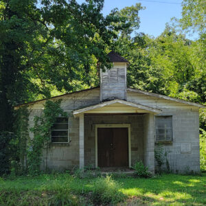
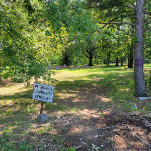
The city of Wrightsville, located on Highway 365 in southeastern Pulaski County, existed as an unincorporated settlement for more than a century before it was incorporated late in the twentieth century. Since 1981, it has been home to a major Arkansas Department of Correction facility, which is the principal employer in the city. The area that became Wrightsville was largely wetland, lying in the vicinity of the Arkansas River, when nearby cities such as Little Rock (Pulaski County) and Pine Bluff (Jefferson County) were developed in the nineteenth century. Although some plantations had been established to the north and west of the site, the actual location of Wrightsville remained unclaimed until construction of the Little Rock, Mississippi, and Texas Railroad in …