Entry Type: Place

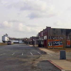
Keo Commercial Historic District

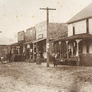
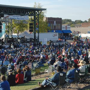
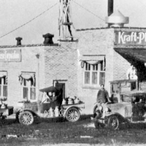
The Keo Commercial Historic District in Keo (Lonoke County) was placed on the National Register of Historic Places on June 15, 2011. The district consists of thirty-five structures, objects, and buildings located primarily on the west side of Main Street. The district boundaries are Arkansas Highway 232 on the north, Fleming Street on the south, and an alley on the west. The east side of Main Street is the eastern boundary. The commercial structures of the district display Standard Twentieth Century architecture and Plain Traditional industrial/agricultural styles. The town of Keo was originally known as Cobb Settlement, Cobbs, or Lafayette Township, and it was situated on Arkansas Highway 15 about one mile north of U.S. 165. The namesake of the …

Keyton (Clark County)

Keyton is an unincorporated community in Clark County, located about four miles northwest of Gurdon (Clark County). The community is about one mile west of Center Point (Clark County) and is directly east of Interstate 30. The first major landowner in the area was Randolph Lewis. He obtained 640 acres on December 1, 1838, including the entire section where Keyton is located. Other landowners gradually moved to the area, but development was slow to reach the future location of Keyton. This changed in the 1880s when the land was purchased by Robert Benjamin Franklin (R. B. F.) Key, from whom the community derived its name. Key was born in Georgia in 1848 and moved to Arkansas with his family about …

Kibler (Crawford County)

East of Van Buren (Crawford County) and south of Alma (Crawford County), the city of Kibler is about halfway between Interstate 40 and the Arkansas River. Although Kibler was not incorporated until 1963, its roots go back to a nineteenth-century settlement originally known as Prairie Grove. Early in the twentieth century, the community (like several others in Crawford County) benefited from the discovery of natural gas deposits in the region. The Arkansas River was a natural transportation route for Native Americans and for early European explorers, but the hilly region of Kibler did not draw the attention of settlers until late in the nineteenth century. John Kibler is said to have arrived from Germany in the 1840s, but the earliest …

Kimberley (Pike County)

Kimberley (Pike County)—spelled “Kimberly” in some sources—is a community that lies south of Murfreesboro (Pike County). It has its origins in the discovery of diamonds in the county. In the early 1900s, John Wesley Huddleston discovered diamonds on his property. Local citizen Millard M. Mauney owned land a half mile from where the diamonds were found, and he believed that his property was perfect for a future mining industry. Railroad owners had planned an extension of the railroad going into Murfreesboro from the southwest. Its route would take it through what is now Kimberley, facilitating more developers and more investments. The area was named Kimberley after the South African city where diamonds were discovered earlier. On January 22 and 23, 1909, Mauney and …

King of Clubs

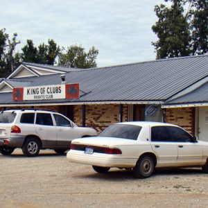
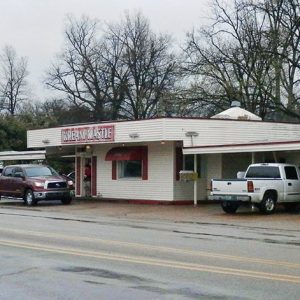
Part of an informal network of roadside nightclubs, often called roadhouses, the King of Clubs operated for more than fifty years under the ownership of Bob and Evelyn King until they sold the club in 2003. Located on U.S. Highway 67, just north of Swifton (Jackson County), the club was a familiar stop for some of the most famous pioneers in rock and roll music in the 1950s. These performers traveled constantly, making extra money and promoting their records by playing dances and shows in countless venues in cities, small towns, and in roadhouses such as the King of Clubs, which was especially favored by those who played the more southern form of rock and roll commonly termed rockabilly. Those …

Kings Creek (Scott County)

Kings Creek is a historical community in northwestern Scott County located along Highway 378. The community of Kings Creek is situated along a tributary of the Petit Jean River that carries the same name. Agriculture has traditionally been important to Kings Creek and the surrounding area. Prior to European exploration, the area surrounding Kings Creek was an unexplored wilderness. Species of wildlife that longer inhabit the area, such as elk and buffalo, were present throughout the region. Archaeological findings have provided evidence of early inhabitants dating to the Archaic, Woodland, and Mississippian periods. Additional evidence has indicated that the Caddo tribe had a strong presence along the Petit Jean River and other prominent waterways. Throughout the late seventeenth and early …

Kings River

The Kings River runs for about ninety miles through Madison and Carroll counties to its confluence with the White River arm of Table Rock Lake, located on the Missouri–Arkansas border. As with other rivers that begin on the north-facing slopes of the Boston Mountains, the Kings River flows north. The river divides Carroll County politically; in 1883, the Arkansas legislature recognized two judicial districts, at Berryville (Carroll County) and Eureka Springs (Carroll County), on opposite sides of the river, though the river itself was not the legal boundary until 2011. The Kings River drains from two very different subsections of the Ozarks. Its headwaters form in the oak forests of the Boston Mountains sub-region of the Ozark Plateau near the …

Kingsland (Cleveland County)

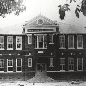
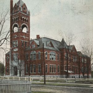
Birthplace of musical legend Johnny Cash and of famed football coach Paul “Bear” Bryant, the city of Kingsland was created by the railroad industry and the timber industry. Reaching its high point in size and glamour during its first few years of existence, the city has dwindled in size and importance but remains the second-largest city in Cleveland County. Dorsey County—later renamed Cleveland County—was sparsely settled when it was created by the Arkansas General Assembly in 1873. Heavily forested, the region was ready for the harvesting of timber when the Texas & St. Louis Southwestern Railway (known as the Cotton Belt) was built across the county in 1882. Seventy-five people, mostly engaged in the timber industry, lived near the railway …

Kirby (Pike County)

Kirby is located on Highway 70 in Pike County, about halfway between Glenwood (Pike County) and Daisy (Pike County). It is six miles east of Daisy State Park, part of the shoreline of Lake Greeson. Although Kirby has nearly 800 residents, it has never incorporated. Among the early landowners in the region were William A. Faries, who bought land just to the west of what is now Kirby in 1856, and Little D. Cantrell, who owned several parcels of land east and south of the community. The town was named for Joseph Lytal Kirby, who actually lived in Red Land (Pike County), several miles away. Before adopting Kirby’s name, the settlement was known as Cross Roads because of the intersection …

Kirkpatrick Cemetery (Saline County)

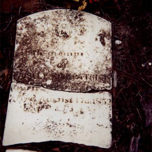
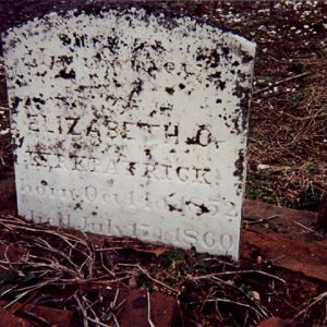
The tiny Kirkpatrick Cemetery in Bryant (Saline County) is located on the Old Stagecoach Road (Arkansas State Highway 5). It is the burial ground for the family of Saline County pioneers Paisley Kirkpatrick and Elizabeth Allen Kirkpatrick Medlock. The oldest marked burials, those of Hannah E. Kirkpatrick Thompson and Elizabeth C. Kirkpatrick, date back to July 1860. In 2002, the cemetery was rediscovered by local resident Ben Holder during the construction of a commercial building nearby. He built a brick wall around the southern and western sides to help protect it from development. The Bryant Historical Society added an iron fence and large plaque noting its establishment in 1850. Although the original markers in Kirkpatrick Cemetery have been damaged over …

Knobel (Clay County)

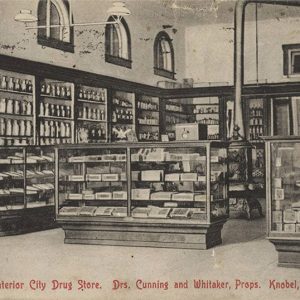
Knobel is a city in Clay County, about seven miles south of Corning (Clay County). Once a stop on the Iron Mountain Railroad, Knobel remains a minor agricultural center for the surrounding region. Frequently flooded by the Mississippi River and shaken by the New Madrid Earthquakes of 1811–1812, northeastern Arkansas remained sparsely settled until after the Civil War. The region consisted largely of swampland and hardwood forests, and no one lived permanently in the place that would become Knobel until after the Civil War. Many people passed through the area, however, since the site was on the road that connected Chalk Bluff (Clay County) on the St. Francis River to Pocahontas (Randolph County). In 1866, J. H. Allen began farming …

Knoxville (Johnson County)

Knoxville is a city in southeastern Johnson County, close to Lake Dardanelle. Originally developed as a railroad town, Knoxville is crossed by both U.S. Highway 64 and Interstate 40. The Arkansas River Valley has long been inhabited, as can be seen by rock art that still exists in Johnson County. The Osage claimed the area as hunting territory at the time of the Louisiana Purchase, and a treaty later gave the land to the Cherokee for a few years, until a subsequent treaty moved them farther west. The first white man to own the land on which Knoxville would be established was Thomas May, who has been described as Arkansas’s first millionaire. May owned nearly 800 acres of bottomland in Johnson …