State Parks

Subcategories:
  • No categories
Clear

Entry Category: State Parks

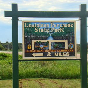
Louisiana Purchase State Park

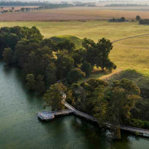
Louisiana Purchase State Park conserves a rare headwater swamp, located on Little Cypress Creek, and a granite monument standing in the swamp’s interior. The monument marks the “initial point” established during an original survey of lands added to the United States as a result of the Louisiana Purchase. The monument was listed on the National Register of Historic Places on February 23, 1972, and on April 19, 1993, the National Park Service designated the point a National Historic Landmark. The Louisiana Purchase of 1803 more than doubled the size of the United States and brought all the territory that would become Arkansas under U.S. ownership. In 1815, President James Madison ordered a survey to establish a system for distributing land …

Lower White River Museum State Park

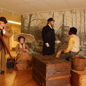
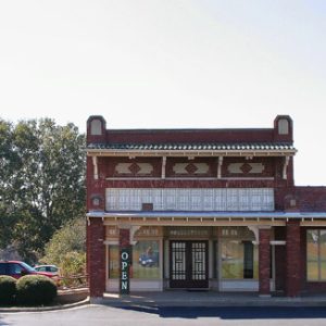
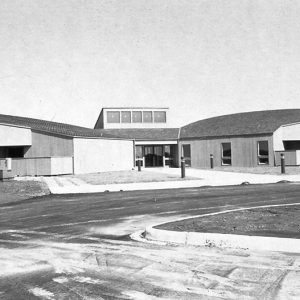
The Lower White River Museum State Park is located in Des Arc (Prairie County), which is in the northeast corner of the central part of the state. The museum tells the story of the White River, specifically the Lower White River, and its dramatic and important role in Arkansas history. As pioneers and early settlers migrated west, the White River served as a primary transportation route, and that river travel expanded the settlement and economic opportunities in the region. The town of Des Arc, where the state park is located and which was the focus of the original museum, owes its very existence to the White River, as do many other old river towns that line its banks. Steamboats also …

Mammoth Spring State Park

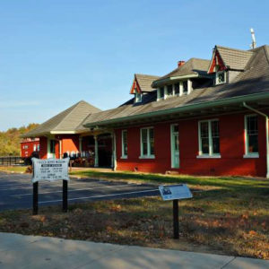
Mammoth Spring State Park preserves the state’s largest natural spring—and one of the largest in the world. Approximately nine million gallons of water flow through the spring hourly. The spectacular stream of cold water is the chief source of the Spring River, a fishing and canoeing stream that is popular year-round because of its dependable flow. The park also preserves a fully restored nineteenth-century railroad depot. Native Americans, particularly the Osage, inhabited the Mammoth Spring area for thousands of years prior to the arrival of Europeans; unfortunately there are few archaeological sites in the area. Recorded local history dates to the early 1800s, when settlers called the spring “Head of the River.” In 1850, geologist David Dale Owen examined the spring …

Marks’ Mills Battleground State Park

Location: Cleveland County Size: 6.2 acres Marks’ Mills Battleground State Park, in Cleveland County on the old Camden-Pine Bluff Road, commemorates a Civil War action that was part of the Camden Expedition of General Frederick Steele. The park contains interpretive exhibits and a picnic area. The park is named for John H. Marks, who in 1834 constructed a sawmill and flour mill at this location. The mills were still operating during the Civil War, making them landmarks for both Union and Confederate troops. In March 1864, General Steele led approximately 14,000 soldiers out of Little Rock (Pulaski County) to join in the Union army’s Red River Campaign. The goal of this campaign was to join General Nathaniel Banks’s troops in …

Millwood State Park

Located just outside of Ashdown (Little River County) in southwest Arkansas, Millwood State Park is known for its excellent fishing and wildlife habitats. It was established about a decade after the U.S. Army Corps of Engineers built 29,500-acre Millwood Lake north of Texarkana (Miller County). Held in place by a 3.3-mile-long earthen dam—the longest of its type in Arkansas—the lake’s trademark timber stands have made it a bass-fishing haven by providing cover vegetation and a food source that keep the fish in shallow, more accessible water. The lake was built in 1966 on the Little River, some sixteen miles above its confluence with the Red River. In addition to the Little River, the Cossatot and Saline rivers also contribute to …

Moro Bay State Park

Moro Bay State Park is one of the most popular locations for fishing and water sports in south central Arkansas. Located at the convergence of Raymond Lake, Moro Bay, and the Ouachita River, the park also marks the junction of Bradley, Calhoun, and Union counties. Records from November 18, 1804, of the Hunter-Dunbar Expedition up the Ouachita River described “Bay Morau” as “a large inlet on the right, which swells into a considerable lake during an inundation.” Before railroads, the Ouachita River was the primary means of travel in the region, and many cotton barges used it to make their way from south Arkansas to New Orleans. In days past, the only way to get across the river was by ferry. …

Mount Magazine State Park

Mount Magazine State Park is located on the highest peak in Arkansas, Mount Magazine, which is a plateau rising out of the Arkansas River Valley to an elevation of 2,753 feet above sea level. The steepness of the elevation change, roughly 2,200 feet between its summit and the surrounding valleys, produces dramatic views that attract tourists. Native Americans did not live on the mountain year-round, instead settling at lower elevations near the Arkansas and Petit Jean rivers. However, six sites dating to the Archaic period, from 9,500 to 650 BC, have been recorded on Mount Magazine. Near the top of the mountain, in a bluff shelter, artifacts from the Woodland and Mississippian cultural periods have been found, consisting mostly of …

Mount Nebo State Park

Mount Nebo State Park, Arkansas’s second oldest state park, encompasses more than 3,000 acres on Mount Nebo, a flat-topped mesa that rises to a high point of 1,762 feet above the Arkansas River valley of west-central Arkansas, according to the U.S. Geological Survey. Roughly 100 acres of the park are on the tabletop portion of the mountain, the main destination of tourists visiting the area. Called Magazine by the French because of its resemblance to a barn (but not to be confused with nearby present-day Mount Magazine), the peak was a prominent landmark for early navigation on the Arkansas River and was renamed Nebo sometime after the Civil War. Louis C. White of Dardanelle (Yell County) owned land around the …

Ozark Folk Center State Park

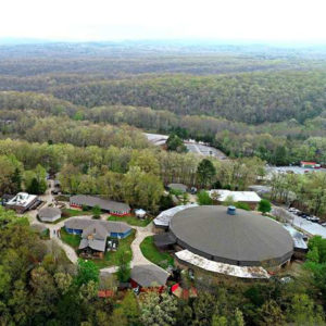
The Ozark Folk Center State Park at Mountain View (Stone County) may be the only state park in Arkansas dedicated to the preservation and perpetuation of Southern mountain folkways and traditions. When opened in 1973, the park was hailed as a home for traditional crafts and music and has since become one of the important institutions preserving this particular way of life. The idea for the folk center grew from the success of the Arkansas Folk Festival, which debuted in April 1963 in Mountain View under the sponsorship of the Ozark Foothills Handicraft Guild (later known as the Arkansas Craft Guild) and the Rackensack Folklore Society. Although the Folk Festival continues to highlight the crafts and music of the area, …

Parkin Archeological State Park

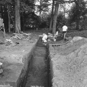
Parkin Archeological State Park in northeast Arkansas preserves and interprets a Mississippian-period Native American village that existed from approximately AD 1000 to 1550. European-made trade items from the era of Hernando de Soto’s expedition recovered at the park and written descriptions of the village support theories that the Spanish visited the Parkin Site in 1541. Many archeologists believe the site may be Casqui, mentioned prominently in the de Soto journals. Remnants of Indian villages similar to the Parkin Site were once numerous in eastern Arkansas, but soil erosion, careless digging, and farming destroyed virtually all of them during the nineteenth century. The prehistoric village on the eastern bank of the St. Francis River covered about seventeen acres and was enclosed …
Petit Jean State Park

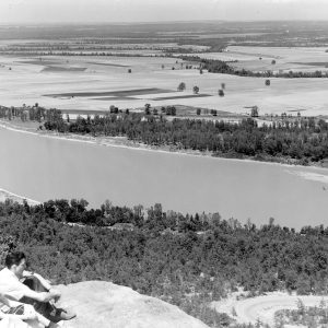
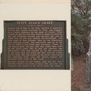
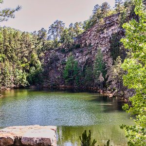
The natural beauty of Arkansas’s first state park, Petit Jean, inspired the creation of the state park system. Situated on Petit Jean Mountain, the park encompasses forests, ravines, streams, springs, vistas, and unusual geological formations. Today, Petit Jean State Park is one of the most popular state parks in Arkansas. Popular legend holds that the mountain got its name from the story of a young French girl who, in the 1700s, disguised herself as a cabin boy so that she could secretly join a company of explorers and accompany her fiancé to the New World. Petit Jean, or “Little John,” became fatally ill while the explorers were visiting the mountain and requested to be buried there. The idea of creating …

Pinnacle Mountain State Park

Pinnacle Mountain State Park is located in central Arkansas near the northeast corner of the Ouachita Mountains. The park’s namesake is the first prominent cone-shaped mountain encountered by early westward travelers as they emerged from the alluvial plains of east Arkansas. Its cone-like appearance has long beckoned travelers and residents alike to ascend its peak for breathtaking views of the surrounding hills and valleys. Rising 756 feet from the adjacent flood plains, Pinnacle’s rocky peak reaches an elevation of 1,011 feet above sea level. The cone-shaped peak was first mentioned in the book A Journal of Travels into the Arkansas Territory During the Year 1819, written by naturalist Thomas Nuttall. During the colonial and early American periods, the mountain was …

Plantation Agriculture Museum

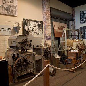
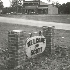
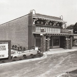
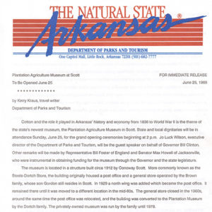
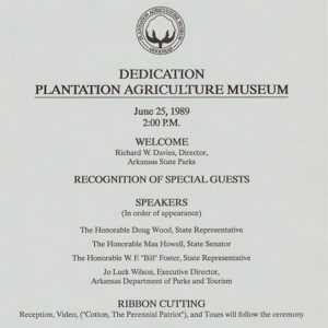
The Plantation Agriculture Museum in Scott (Pulaski and Lonoke counties) is situated in the Arkansas River lowlands beside Horseshoe Lake, about twenty miles southeast of Little Rock (Pulaski County). The museum is dedicated to Arkansas’s rich cotton agriculture heritage. William Scott emigrated from Kentucky at an unknown date to the area that would become the town of Scott. His son Conoway Scott Sr. was born in 1815. By 1862, the Scott family owned 2,000 acres, ten slaves, and other property, valued at $37,895. Conoway Scott Sr. died in 1866 just before the birth of his son, Conoway Jr. Conoway Scott Jr. eventually operated several successful ventures, including the family plantation and a general store. Scott’s landholdings were eventually crossed by …

Plum Bayou Mounds Archeological State Park
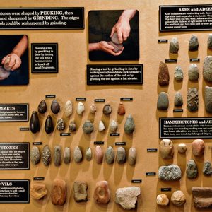
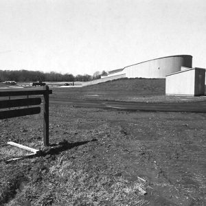
Plum Bayou Mounds Archeological State Park (previously the Toltec Mounds Archeological State Park) near Scott (Pulaski and Lonoke counties) is one of Arkansas’s most significant pre-European archaeological sites. The Toltec Mounds Site, with the state’s tallest Indian mounds, is also a National Historic Landmark. In 1812, Louis Bringier, a French explorer from New Orleans, Louisiana, traveled to present-day Arkansas and became the first European to discover the mounds. His description of the site’s “tolerably regular” alignment of mounds and the height of the two tallest mounds in contrast to the surrounding alluvial flatlands, the first such description, was reported in newspapers in 1821. William Peay Officer and his wife, Mary Eliza, purchased the area in 1849. There they maintained a …

Poison Spring Battleground State Park

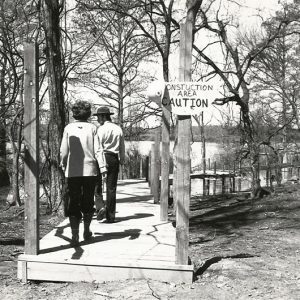
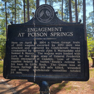
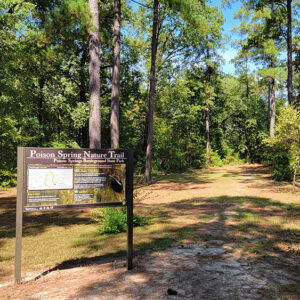
Location: Ouachita County Size: 85 acres Poison Spring Battleground State Park, west of Camden (Ouachita County), commemorates a Civil War engagement that was part of the Camden Expedition of General Frederick Steele. The Engagement at Poison Spring is remembered as a Confederate ambush of Union troops, which resulted in the massacre of many African Americans from the First Kansas Colored Infantry. The park contains interpretive exhibits, as well as picnic sites and a short trail. The name Poison Spring was known to Camden area residents at the time of the engagement and was used in battle reports, but its origins are uncertain. Later legends suggested that Union soldiers became ill after drinking the cold spring water, but no contemporary accounts …