Entry Category: Land and Resources

Deforestation

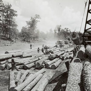
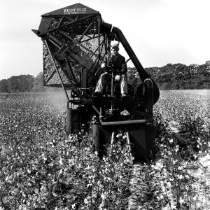
Deforestation is the conversion of timbered lands into one or more non-forest uses. A classical example of deforestation in Arkansas is the clearing of the forests of the Mississippi Alluvial Plain to plant fields of rice, cotton, soybeans, corn, wheat, and other crops. According to this technical definition, the logging of forests (even the clearcutting of native, natural-origin forests and their subsequent replacement with pine plantations) is not deforestation since the land is still in some kind of forested state. In most cases, deforestation is a human-mediated process. The two primary reasons behind deforestation—agricultural conversion and urbanization—are not new to Arkansas. Native Americans cleared forests to build their communities and sow crops at least as early as the Late Archaic …

DeGray Dam and Lake

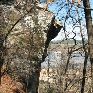
DeGray Dam, located about eight miles northwest of Arkadelphia (Clark County), impounds the 13,400-acre DeGray Lake on the Caddo River. It was built by the U.S. Army Corps of Engineers (USACE) for purposes of electricity generation and flood control, as well as establishing a drinking water supply for Arkadelphia, and is the first “pump back capable impoundment” in the Corps’s history. A reregulation dam forms a 400-acre impoundment below the main lake, providing a supply of water that can be pumped back into DeGray Lake during times of drought and used again for hydropower generation and to provide a steady flow of water on the Caddo River. The site where DeGray Dam stands had been considered for a dam since …

Diamond Mining

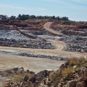
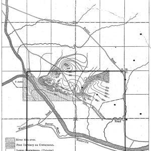
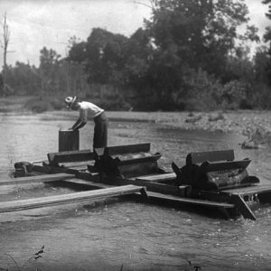
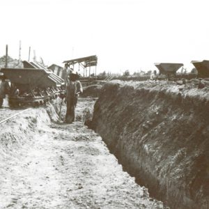
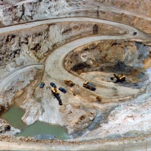
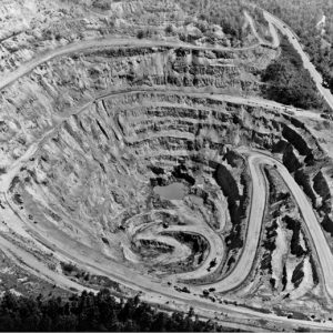
Almost 100 million years ago, in what is now Pike County, nature created one of the world’s most unusual diamond-bearing formations, the big volcanic “pipe” that now serves as the centerpiece of Crater of Diamonds State Park. Famous today for recreational mining, the eroded old crater once inspired generations of diamond hunters to dream of commercial success. The history of that long quest—the expectations, the contention, and the repeated frustration—is, in itself, an invaluable legacy of the Arkansas diamond field. Unlike the typical diamond pipe, the formation in Pike County accumulated in various stages as molten rock deep within the earth’s mantle swept up through a shallower zone where diamonds had crystallized long before and then worked its way to …

Dierks, Herman

Herman Dierks was the co-founder and two-time president of the Dierks Lumber and Coal Company, supervising its lumberyard in De Queen (Sevier County) and other parts of eastern Oklahoma and northern Louisiana. With the help of his brothers, he helped create and control the Dierks timber empire. Born near Lyons, Iowa, on September 24, 1863, Herman Dierks was the seventh child of Peter Henry Dierks, a German farmer and a banker, and Margaretha Dorothea Tauk, a Danish immigrant. He joined his brother Hans in Nebraska after Hans bought land there along the newly constructed Burlington Railroad. Dierks farmed until he and his brother bought a lumberyard in 1887, which later proved to be the source of Dierks’s fortune. On May …

Dimension Stone Mining

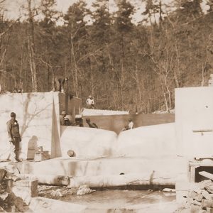
Dimension stone is defined as rock that is removed from its original site to be used with minor alteration (rough stone) and rock that is broken, sawn, and/or ground and polished (cut or dressed stone) for use as building and/or ornamental stone. While most of the high-quality dimension stone produced in Arkansas is used in state, some is shipped to markets worldwide. Limestone and sandstone are used as dimension stone in Arkansas. Historically, much nepheline syenite was used as hand-worked building stone in the late nineteenth and early twentieth centuries in the Little Rock (Pulaski County) area, but beginning in the middle 1940s, those labor-intensive activities gave way to the use of crushed stone for syenite. A small market exists, …

Dockery, Jess Orval

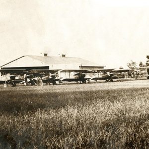
Jess Orval Dockery was an aviation pioneer and an innovator of agricultural aviation in the Mid-South region, based first in Pine Bluff (Jefferson County) and, later, Stuttgart (Arkansas County) and Clarksdale, Mississippi. He played a leading role in developing aerial application processes, perfecting the science of crop dusting and spreading the practice to the Midwest. Jess Orval Dockery was born on February 26, 1909, in Dallas, Texas, to Jess P. Dockery and Myrtle Kemp Dockery. Confederate general Thomas Pleasant Dockery was his great-uncle, while socialite Octavia Dockery was a cousin. During World War I, his family moved to Lawton, Oklahoma, where his father ran a jitney service to Fort Sill, Oklahoma. This gave Dockery access to the base’s aircraft, leading …

Drought of 1930–1931

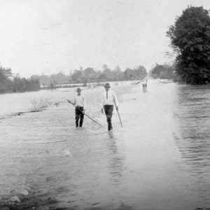
Arkansas’s worst drought of the twentieth century took place in 1930–1931. Twenty-three states across the Mississippi and Ohio river valleys and into the mid-Atlantic region were caught in its grip. The severest drought centered upon eight Southern states, with Arkansas sixteen percent worse than the other states based on weather statistics. Agrarian blight became a precursor to corollary social, political, and disaster relief issues, which escalated and attracted national attention. The devastating Flood of 1927, financial upheaval from the 1929 stock market crash, and killer tornadoes preceded the drought that struck Arkansas in the spring of 1930. Rainfall during June and July 1930 was the lowest on record—thirty-five percent below rainfall in 1929. July temperatures, typically in the nineties, reached …

Earthquakes

Numerous earthquakes occur every year throughout the state of Arkansas, but most go unnoticed. Earthquakes that are felt can be startling and serve as good reminders that Arkansas is located near one of the most hazardous earthquake zones in the country. Earthquakes have been documented in Arkansas as early as 1699 by missionaries traveling down the Mississippi River near Helena (Phillips County). Although it is uncommon for major earthquakes to occur a great distance from active tectonic boundaries, earthquakes associated with the New Madrid Seismic Zone (NMSZ) have been some of the largest earthquakes ever to strike North America. The NMSZ is an active earthquake zone extending from Cairo, Illinois, into Marked Tree (Poinsett County). Earthquakes are caused by movement …

Eleven Point River

The Eleven Point River rises in the Ozark Mountains of Missouri near the town of Willow Springs and flows south-southeast, passing through the Mark Twain National Forest and entering Arkansas in Randolph County. It empties into the Spring River west of what is now Davidsonville Historic State Park and lends its name to the town of Eleven Point (Randolph County). The part of the Ozark Plateau through which the Eleven Point River flows was home to human habitation approximately as long ago as 10,000 B.C., according to archaeological excavations near Greer Springs, which empties into the Eleven Point. In addition, a few Indian mounds dating from the Mississippian Period have been located in the valley of the Eleven Point. In …

Endangered, Threatened, and Rare Species

Arkansas has many plant and animal species, partly because of varied topography and a temperate climate. An abundance of wildlife and rich soils for planting crops drew many of the early European settlers to the state. Many resources have been harvested or depleted. Earlier generations did not take steps to ensure that certain species were protected as their numbers decreased, and today several plants and animals are classified as endangered, threatened, or rare. The Endangered Species Act of 1973 provides a means to conserve the ecosystems upon which endangered and threatened species depend and to provide programs to prevent their extinction. The Department of the Interior’s U.S. Fish and Wildlife Service (FWS) and the Commerce Department’s National Oceanic and Atmospheric …

Environment

Arkansas’s physical environment features a mild climate, adequate rainfall, a rural and relatively uncrowded landscape, and diverse geology, which promote a variety of plants, animal life, and water resources. Understanding this environment requires examining the historical changes that have taken place, primarily those changes effected by human occupation. Each new culture and industry moving into the state has brought environmental changes, often dramatically affecting the landscapes of Arkansas’s six distinct geographic regions. An Environmental Snapshot Arkansas contains 53,179 square miles (some thirty-four million acres) composed of six regions: the Arkansas River Valley, Crowley’s Ridge, the Mississippi Alluvial Plain (also called the Delta), the Ouachita Mountains, the Ozark Plateau, and the West Gulf Coastal Plain. By 2022, more than 14.5 million …

Environmental Racism

The term “environmental racism” originated with the environmental justice movement that began developing in the United States in the 1970s. The movement argues that environmental racism is a clear reflection of systemic racism, being a product of often interrelated institutional rules, regulations, and policies coupled with governmental and/or corporate decisions that knowingly target certain communities to bear the burden of environmentally undesirable environments. In addition, the harm of those policies may be increased by the lax enforcement of existing laws and regulations as well as other governmental policies such as zoning. In the end, the affected areas are exposed to a significantly higher degree of hazardous waste and other types of pollution. While there has long been a recognition that …