Drew County
Drew County is located at the edge of the Mississippi Alluvial Plain (the Delta) in the West Gulf Coastal plains region. Bayou Bartholomew, the longest bayou in the world, runs along the eastern edge of Drew County. The Saline River forms the southwestern border. The Monticello Ridge uplands extend from north of Star City (Lincoln County) through Drew County into Louisiana. The county is home to the University of Arkansas at Monticello (UAM), whose School of Forest Resources is the only such institution in the state, as well as SeaArk Marine, Inc., and other industries. European Exploration and Settlement Native Americans lived in southeastern Arkansas, including Drew County, for many years before European exploration into the region. By the late …
 Jimmy Driftwood at Home
 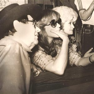 Jimmy Driftwood and Friends
 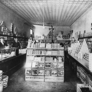 Drilling Grocery
 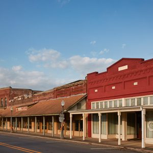 Dumas Street Scene
 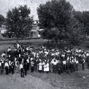 Dumping Moonshine
 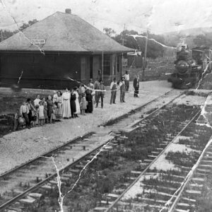 Durham Depot
  Dutton Store
  Dyess Administration Building
  Dyess Buildings
 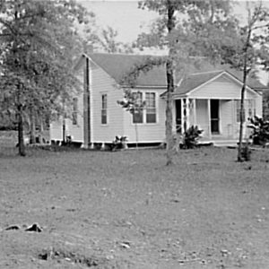 Dyess Colony
 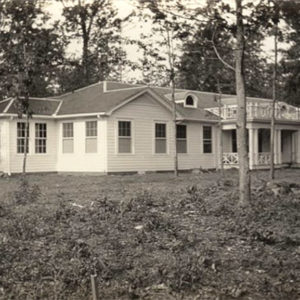 Dyess Hospital
 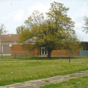 Dyess School
 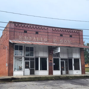 E. B. Falls & Son Building
 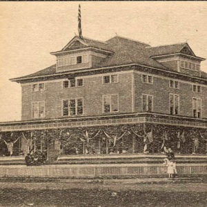 E. S. Crossett Club
 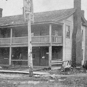 Eagle Hotel
 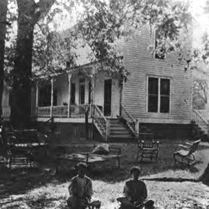 Eagle House
 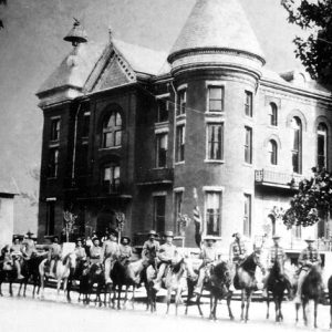 Eagle Rangers
 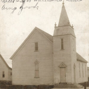 Earle Baptist Church
 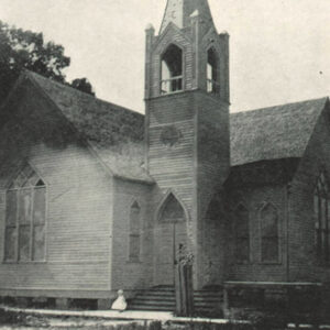 Earle Church
 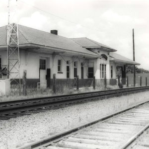 Earle Depot
 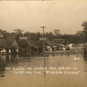 Earle Flood
  Earle High School
  Earle Methodist Church
  Earle Street Scene
 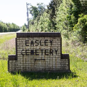 Easley Cemetery
 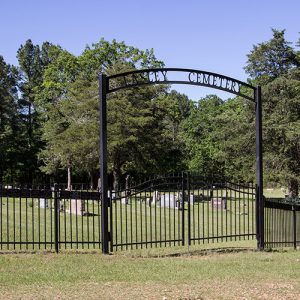 Easley Cemetery
 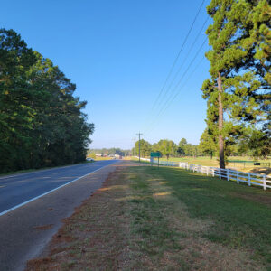 Entering East Camden
 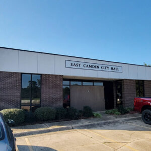 East Camden City Hall
 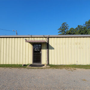 East Camden Court
  East Camden Fire Department
 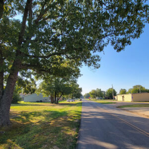 East Camden Street Scene
 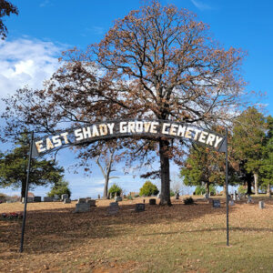 East Shady Grove Cemetery
  East Whelen Baptist Church
  Eastman Hotel
 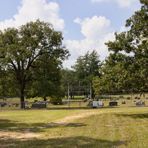 Ebenezer Cemetery
 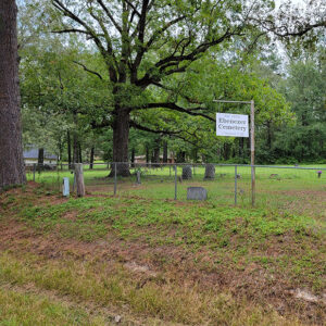 Ebenezer Cemetery


