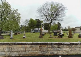
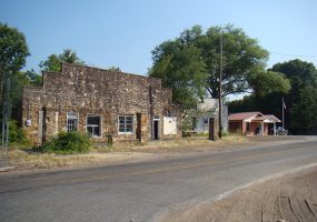
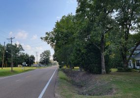
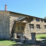
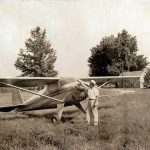
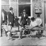
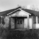
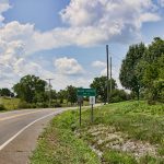
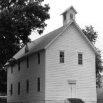
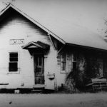
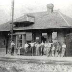
Abbott (Scott County)
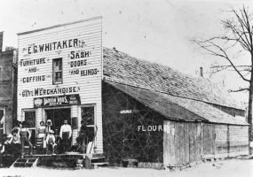
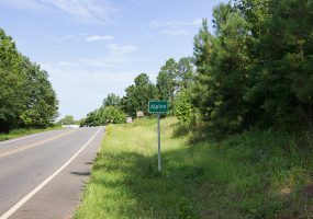
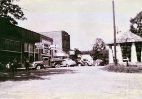
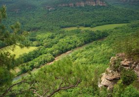
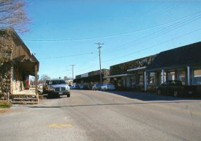
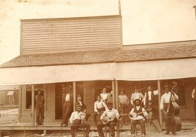
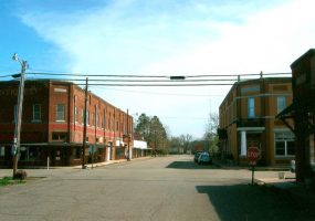
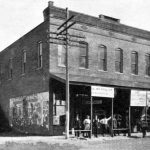
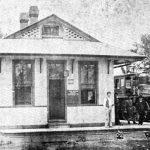
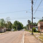
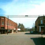
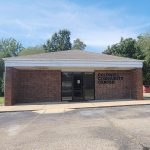
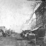
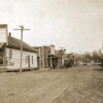
Abbott is an unincorporated community located in northern Scott County along Highway 71. Established in 1899 n...
 Arkansas
 Ashley
 Baxter
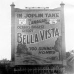 Benton
 Boone
Boone
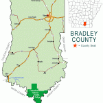 Bradley
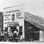
 Calhoun
Carroll
Calhoun
Carroll
 Chicot
 Clark
Clark
 Clay
Clay
 Cleburne
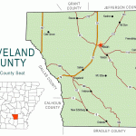 Cleveland
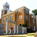
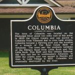
 Columbia
 Conway
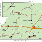
 Craighead
 Crawford
 Crittenden
 Cross
Cross
 Dallas
 Desha
Desha
 Drew
Drew
 Faulkner
 Franklin
 Fulton
 Garland
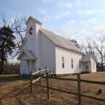
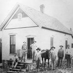
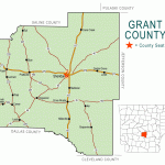 Grant
Grant
 Greene
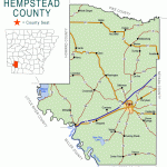 Hempstead
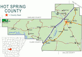
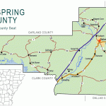 Hot Spring
 Howard
 Independence
 Izard
Izard
 Jackson
 Jefferson
 Johnson
 Lafayette
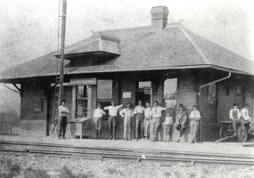
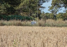
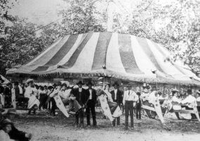
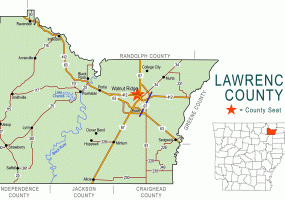
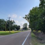
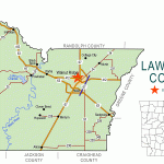 Lawrence
 Lee
Lee
 Lincoln
 Little River
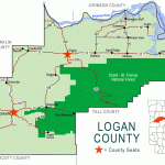 Logan
Logan
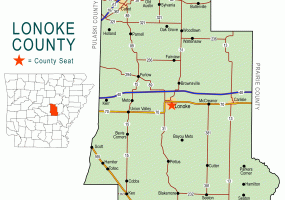
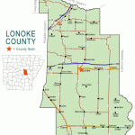 Lonoke
 Madison
 Marion
 Miller
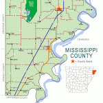 Mississippi
 Monroe
 Montgomery
 Nevada
 Newton
 Ouachita
 Perry
Perry
 Phillips
 Pike
Pike
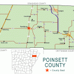 Poinsett
 Polk
Polk
 Pope
Pope
 Prairie
 Pulaski
 Randolph
Saline
Randolph
Saline
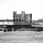
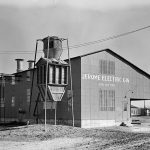
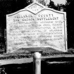
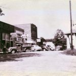
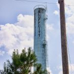
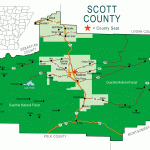 Scott
Searcy
Scott
Searcy
 Sebastian
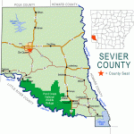 Sevier
 Sharp
Sharp
 St. Francis
 Stone
Stone
 Union
Union
 Van Buren
 Washington
 White
White
 Woodruff
 Yell
Yell