Chant (Scott County)
Chant is a historical community in southern Scott County located along Highway 71. At various times known as Pleasant Valley and Texas, the town was established in 1906 near the Fourche La Fave River and Mill Creek between Boles and Y City. Agriculture has contributed significantly to the economy and way of life in Chant. Prior to European exploration, the area surrounding Chant was a wilderness. Several species of wildlife that no longer inhabit the area, such as elk and buffalo, were present throughout the region. Numerous archaeological sites and burial mounds are located along the banks of prominent waterways such as the Poteau River. Archaeological findings have provided evidence of early inhabitants dating to the Archaic, Woodland, and Mississippian …
 Charleston Area
 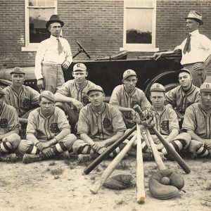 Charleston Baseball Team
 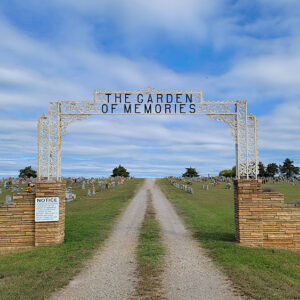 Charleston Cemetery
 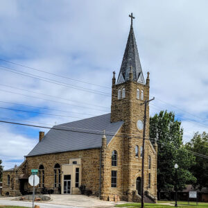 Charleston Church
 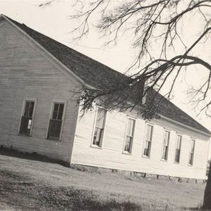 Charleston Church
 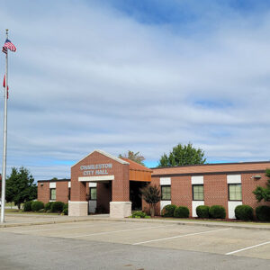 Charleston City Hall
 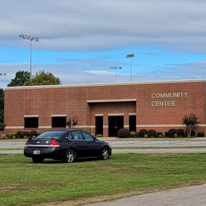 Charleston Community Center
 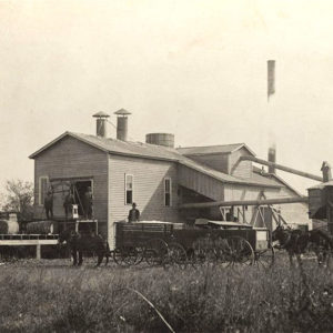 Charleston Cotton Gin
 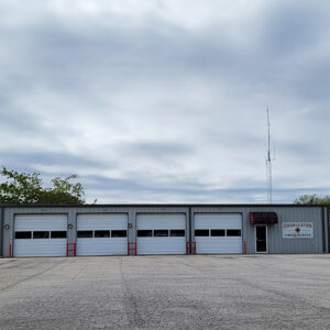 Charleston Fire Department
 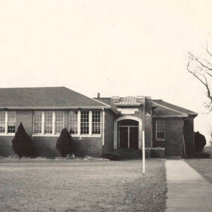 Charleston High School
 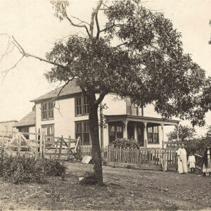 Charleston Home
 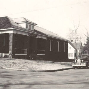 Charleston Hospital
 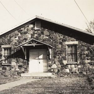 Charleston Legion Hut
 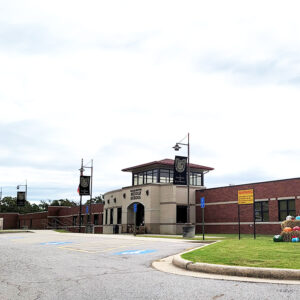 Charleston Middle School
 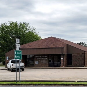 Charleston Post Office
 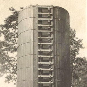 Charleston Silo
 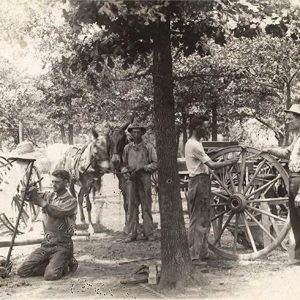 Charleston Smith
 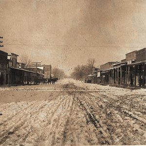 Charleston Street Scene
 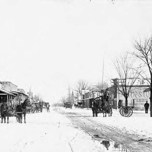 Charleston Street Scene
 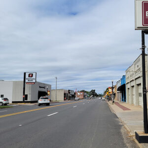 Charleston Street Scene
 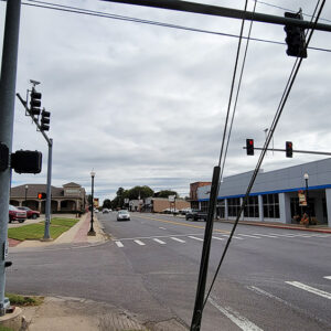 Charleston Street Scene
 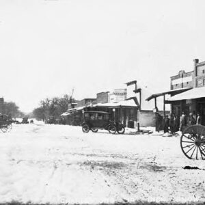 Charleston Street Scene
 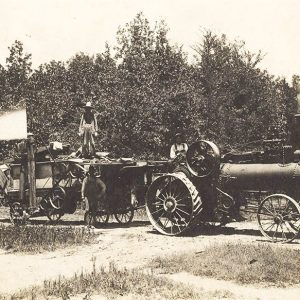 Charleston Thrasher
 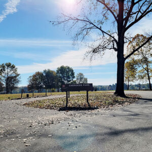 Cherokee Park
 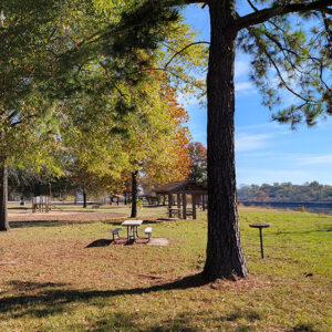 Cherokee Park
 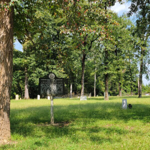 Cherry Cemetery
 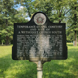 Cherry Cemetery Information
 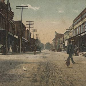 Cherry Street
 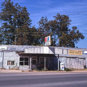 Chester's Auto Repair
 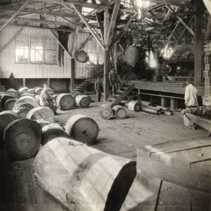 Chicago Mill and Lumber Company
 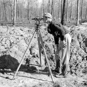 Chicot Farms Surveyor
 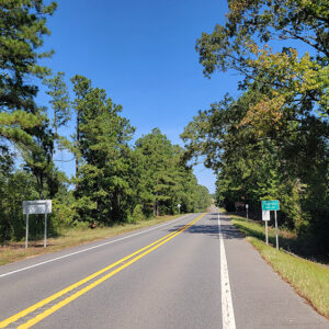 Entering Chidester
 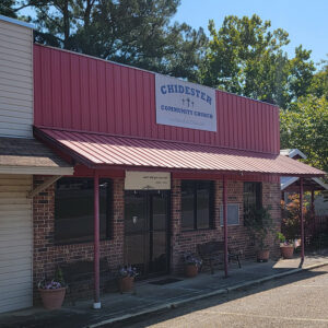 Chidester Church
 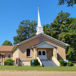 Chidester Church
 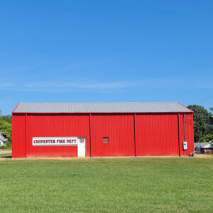 Chidester Fire Department
 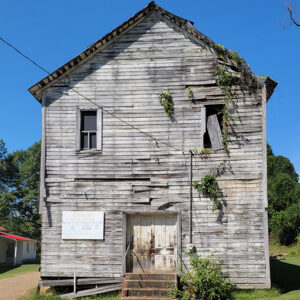 Chidester Masonic Lodge
 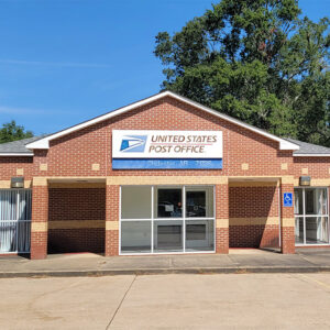 Chidester Post Office
 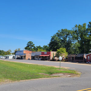 Chidester Street Scene
  Chidester Street Scene
  Chidester Street Scene
 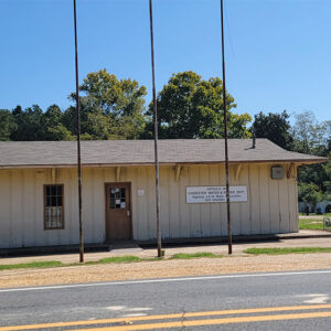 Chidester Utilities


