501-918-3025
calsfoundation@cals.org
calsfoundation@cals.org
| Latitude and Longitude: | 33º36’38″N 92º45’28″W |
|---|---|
| Elevation: | 125 feet |
| Area: | 0.72 square miles (2020 Census) |
| Population: | 798 (2020 Census) |
| Incorporation Date: | September 8, 1965 |
Historical Population as per the U.S. Census:
|
1810 |
1820 |
1830 |
1840 |
1850 |
1860 |
1870 |
1880 |
1890 |
1900 |
|---|---|---|---|---|---|---|---|---|---|
|
– |
– |
– |
– |
– |
– |
– |
– |
– |
– |
|
1910 |
1920 |
1930 |
1940 |
1950 |
1960 |
1970 |
1980 |
1990 |
2000 |
|
– |
– |
– |
– |
– |
– |
589 |
632 |
783 |
902 |
|
2010 |
2020 |
|
|
|
|
|
|
|
|
|
931 |
798 |
|
|
|
|
|
|
|
|
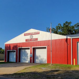
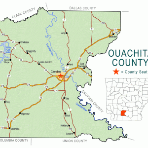
East Camden is the only city in Arkansas that was constructed by the U.S. Navy. It is located on Highways 274 and 278, several miles from Camden (Ouachita County). A remnant of the Shumaker Naval Ammunition Depot, East Camden is now recognized largely as the home of the Highland Industrial Park.
The Ouachita River valley of southern Arkansas has been inhabited for centuries. During the historic era, the Caddo lived in several villages near the river. The expedition of Hernando de Soto traveled along the river in 1542, and French explorers and settlers later frequented the region. The settlement first known as Ecore Fabre later became the city of Camden, the county seat of Ouachita County and a major mercantile center of southern Arkansas.
The first owners of the land that would become East Camden were Daniel Williams, who purchased a plat of land in 1860, and Robert J. Delph, who purchased an adjoining plat the following year. Jeff Graham later bought additional land to the east of Williams’s and Delph’s land in 1889. This land was near the Two Bayou Creek that is the boundary between Calhoun and Ouachita counties; in fact, a corner of Graham’s land was in Calhoun County.
The entry of the United States into World War II required that the nation be placed on a wartime footing. While Camp Joseph T. Robinson and what is now Fort Chaffee expanded their operations, the war also spawned other industries in Arkansas, including six ordnance plants. The last of these to be built was the Shumaker Naval Ammunition Depot in Calhoun and Ouachita counties. The entire site covered 68,417.82 acres—more than 100 square miles. The land that once belonged to Williams, Delph, and Graham was included in this large parcel obtained by the U.S. government. On those particular portions of land, the U.S. Navy built a planned community to house its personnel. The housing development, known then as the Billkitts Rental Housing, consisted of 260 units and also offered a swimming pool and other recreational facilities. During and after the war, Shumaker was used to manufacture, test, store, disassemble, and destroy ammunition and other explosives. Military rockets were among the items built and tested, which is why such a large area was needed for the depot.
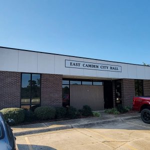
In 1957, the navy decided to close Shumaker. The U.S. government declared the land to be surplus property and divided it into lots, opening bidding for prospective owners on April 4, 1961. Brown Engineering Corporation bought three large sections of land. Smaller parcels, containing housing for navy personnel and their families, were sold individually and became the city of East Camden. It was incorporated in 1965. The house of the depot’s commander became a guest house for visiting executives, engineers, and consultants.
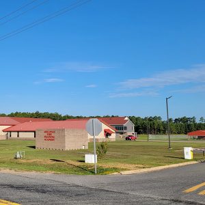
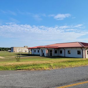
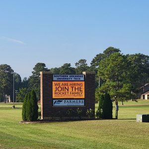
Brown Engineering Corporation, which later became the Highland Industrial Park, was dedicated to commercial and defense industries. About 3,500 jobs were created by the industrial park, and many of the workers and their families live in East Camden. In 1968, a two-year college opened at the industrial park. First known as Southwest Technical Institute, it is now Southern Arkansas University Tech. Three other schools are located in the industrial park: the Arkansas Law Enforcement Training Academy, Arkansas Fire Training Academy, and Arkansas Environmental Training Academy.
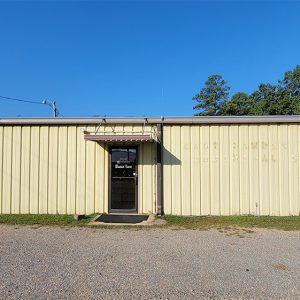
The city of East Camden consists of 123 residential lots, a commercial center, and a nine-hole golf course. Two Bayou Creek flows along the eastern edge of the city. Businesses include Handy Food Store, Bancorp South Bank, and a KFC restaurant (which is on Highway 278 south of East Camden). Calvary Baptist Church was started as a mission church in 1945 and has been an independent congregation since 1952. East Camden is part of the Harmony Grove School District.
On March 31, 2016, Aerojet Rocketdyne, Arkansas Electric Cooperative Corporation, and Ouachita Electric Cooperative Corporation formally commissioned a 100-acre solar power field in East Camden. The solar panel array is located in Highland Industrial Park. In late 2023, it was announced that defense firm RTX had selected East Camden for a factory to produce missiles used in American and Israeli air defense systems.
For additional information:
Dufalla, Lucas. “Defense Spending a Boon for East Camden.” Arkansas Democrat-Gazette, March 29, 2026, pp. 1A, 8A. Online at https://www.arkansasonline.com/news/2026/mar/28/defense-spending-us-israel-boon-east-camden/ (accessed March 30, 2026).
Moore, Bob, and Melanie Williams. Reflections of Ouachita County. Camden, AR: Camden News, 1996.
Morrison, Larry A., and Bruce W. Eppinette. Historical Ouachita County: A Photographic Collection. Camden, AR: Southern Arkansas University Tech, 1986.
Smith, C. Calvin. War and Wartime Changes: The Transformation of Arkansas, 1940–1945. Fayetteville: University of Arkansas Press, 1986.
Steven Teske
CALS Butler Center for Arkansas Studies


Comments
No comments on this entry yet.