calsfoundation@cals.org
Caddo Valley (Clark County)
| Latitude and Longitude: | 34°10’55″N 093°04’16″W |
| Elevation: | 210 feet |
| Area: | 3.10 square miles (2020 Census) |
| Population: | 595 (2020 Census) |
| Incorporation Date: | September 11, 1974 |
Historical Population as per the U.S. Census:
|
1810 |
1820 |
1830 |
1840 |
1850 |
1860 |
1870 |
1880 |
1890 |
1900 |
|
– |
– |
– |
– |
– |
– |
– |
– |
– |
– |
|
1910 |
1920 |
1930 |
1940 |
1950 |
1960 |
1970 |
1980 |
1990 |
2000 |
|
– |
– |
– |
– |
– |
– |
– |
388 |
389 |
563 |
|
2010 |
2020 |
|
|
|
|
|
|
|
|
|
635 |
595 |
|
|
|
|
|
|
|
|
Located near the junction of the Caddo and Ouachita rivers, the city of Caddo Valley is a relatively new but economically important town in Clark County. With an economy based on service industries and a prime location on three highways and near DeGray Lake Resort State Park, Caddo Valley quickly became an important stop between Little Rock (Pulaski County) and Texarkana (Miller County).
Settlement in the area began in the early 1800s with the arrival of the first white farmers. The area had previously been occupied by members of the Caddo tribe. Jacob Barkman, an 1811 arrival to the area, constructed a house on the south bank of the Caddo River. The Caddo Valley area proved to be a prime location for large-scale farming and, with its close proximity to the Ouachita River, goods were easily shipped southward.
The settlement grew slowly over the next century, finally opening a school in the early 1900s. In 1968, the Arkansas Children’s Colony, Arkadelphia Unit—now the Arkadelphia Human Development Center—was opened in the community. Never numbering more than a few hundred in population, the area was not formally organized into a city until 1974. Incorporation was quickly followed by the construction of a city hall and creation of a police department and fire station. This move was brought on by construction of Interstate 30 in the area, with a ramp placed in Caddo Valley connecting it with Arkansas Highway 7. Always a transportation hub, Caddo Valley is also served by U.S. Highway 67. The creation of the interstate led to a boom in the construction of gas stations, motels, and restaurants in the area. The slow growth exhibited over the past century was replaced with a much faster rate of expansion, in both the economy and population of Caddo Valley.
The city quickly grew into a place for travelers to stop between Little Rock and Texarkana, with several restaurants and hotels. It also served the visitors to the newly created DeGray Lake, located to the northwest of the city. Thousands of visitors utilize the U.S. Army Corps of Engineers Park, as well as DeGray Lake Resort State Park, every year, pumping money into the Caddo Valley economy.
The city is governed by a mayor and board of aldermen and provides police and fire protection to its citizens. The city has never had a post office, although support for placing one in the town is strong. The city also serves as a bedroom community for citizens employed nearby.
For additional information:
May, Joe. The Way We Were: A Pictorial History of Clark County, Arkansas. Hurst, TX: Curtis Media, 1995.
Richter, Wendy, ed. Clark County, Arkansas: Past and Present. Arkadelphia, AR: Clark County Historical Association, 1992.
David Sesser
Henderson State University
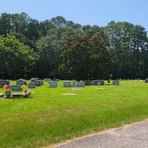 Caddo Valley Cemetery
 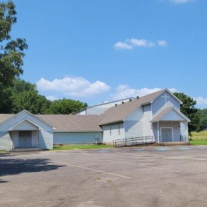 Caddo Valley Church
 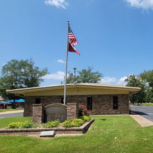 Caddo Valley City Hall
 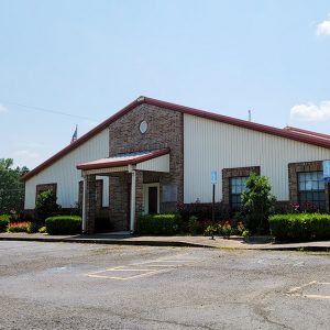 Caddo Valley Fire Department
 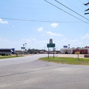 Caddo Valley Street Scene
 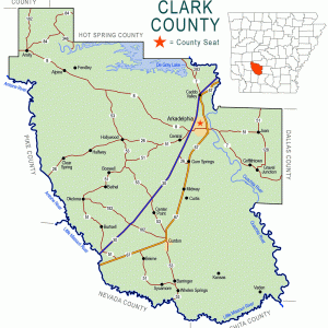 Clark County Map
 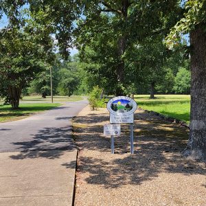 Dillavou Walking Trail
 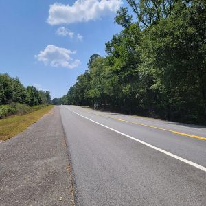 Entering Caddo Valley


Comments
No comments on this entry yet.