


501-918-3025
calsfoundation@cals.org
calsfoundation@cals.org
 Sentinel of Freedom
to
Sentinel of Freedom
to
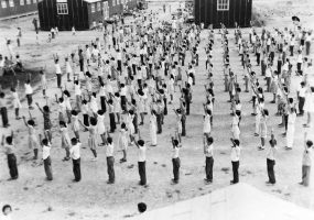
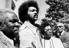
 Freedom Rides
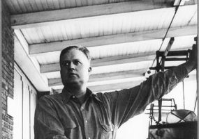
Harry Ashmore was born in Greenville, South Carolina. He was the executive editor of the Arkansas Gazette during the 1957 desegregation crisis at Little Rock Central High School and wrote a series of Pulitzer Prize–winning editorials on the subject. His front-page calls for reason thrust him into the front lines of the escalating battle between civil rights and states’ rights.
The CALS Encyclopedia of Arkansas is a free, authoritative source of information about the rich history, geography, and culture of Arkansas. It is updated regularly to ensure the people of Arkansas have an accurate and accessible resource to explore our heritage. We invite you to browse our text entries and media galleries to learn more about the people, places, events, legends, and lore of the 25th state. We are continually adding new entries, photographs, maps, videos, quizzes, lesson plans, and more, so check back frequently to see what’s new.


Our overview page covers everything you would want to know about our beautiful state, including state symbols, demographics, and more!
See Overview


