Sites and Artifacts

Subcategories:
  • No categories
Clear

Entry Category: Sites and Artifacts
Battle Mound Site

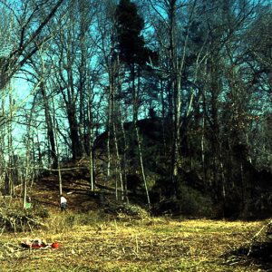
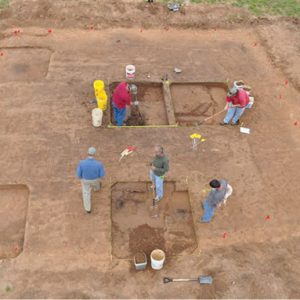
The Battle Mound site is a Caddo site located along the Red River in Lafayette County. The Red River landscape is an ecologically diverse region with numerous channel scars, oxbow lakes, and back swamps. With agriculturally productive soil deposits and a web of linked navigable waterways, the region has numerous prehistoric and historic archaeological sites, many being sites left by the ancestors of the Caddo Indians who lived in this area from at least as early as circa AD 900 and as late as the early nineteenth century. The most prominent feature at Battle Mound is a large north-south-aligned earthen mound with at least three platforms. The mound is the largest in the Caddo area and one of the largest …

Crenshaw Site

The Crenshaw Site was a large village and ceremonial center occupied from about AD 700 to 1400 along the Red River in Miller County in southwestern Arkansas; the site is listed on the National Register of Historic Places. The large size of the site (estimated at approximately eighty acres), along with limited archaeological investigations, hampers reconstruction of the site’s cultural history. The prevailing archaeological interpretation of the site is that it was first occupied by the Fourche Maline culture (AD 700–900) and developed into a significant village. Numerous earthworks were constructed, including at least four (and perhaps six) mounds and a raised causeway that connected two of the larger mounds. Evidence for a sizeable population includes a midden deposit (soil …

Eaker Site

The Eaker Site is a large, prehistoric archaeological site located near Blytheville (Mississippi County) on land that was formerly Eaker Air Force Base. The site is named after the base. The Eaker Site is considered the largest and most intact Late Mississippian Nodena site in the Central Mississippi Valley. The site was declared a National Historic Landmark in 1996 and is on the National Register of Historic Places. Archaeologists use the term “Nodena” to describe the Native American way of life along the Mississippi River that the Eaker Site represents. The site is believed to have been a Nodena-Phase town, with sturdy permanent houses, a defensive wall and ditch, and a mound. Native Americans built the structures at the Eaker …

Head Pots

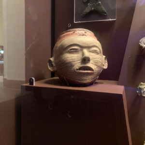
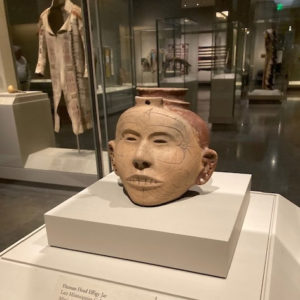
Head pots are a very rare and unique form of pre-historic Native American pottery found almost exclusively in northeast Arkansas and the adjacent bootheel region of Missouri. They are distinguished from other native North American pottery in that the entire vessel is molded into the general shape of a human head, as opposed to facial features such as eyes, nose, and mouth simply being applied to the surface of a bottle or jar form. Artistically, head pots vary from crude to remarkably lifelike representations. Most are somewhat smaller than the head of a normal adult, averaging about five to six inches in height. Head pots are associated with the Late Mississippian Period to the time of European contact, dating about …

Indian Mounds

Indian Mounds were constructed by deliberately heaping soil, rock, or other materials (such as ash, shell, and the remains of burned buildings) onto natural land surfaces. In Arkansas and elsewhere in eastern North America, Native Americans built earthen mounds for ritual or burial purposes or as the location for important structures, but mound-building ceased shortly after European contact due to changes in religious and other cultural practices. Mississippian people in eastern Arkansas were using mounds when Spanish explorers arrived in 1541, and the Caddo in the Red River valley were still using mounds during the winter of 1691–92, when explorers from Mexico visited them. Most of the thousands of mounds built in Arkansas have been destroyed by modern development and …

Menard-Hodges Site

Archaeological investigations at the Menard-Hodges site near Nady in Arkansas County since the late 1800s have yielded information about both Native American and European colonial settlement of the region of the lower Arkansas River. Two large mounds, thirty-nine-foot-tall Mound A and flanking thirteen-foot-tall Mound B, overlook a square plaza some two acres in area, with smaller mounds around the other sides of the plaza. Also adjacent to the plaza are the locations of two nineteenth-century farmsteads of French descendants. The Menard-Hodges Site was widely considered to be the location of the first Arkansas Post and also the location of the Quapaw village of Osotouy. However, recent research indicates that while the Menard-Hodges Site is an important part of an early historic …

Native American Pottery

Indians in Arkansas began making pottery containers about 2,500 years ago, during the Woodland Period, and they continued this craft until their handmade containers were replaced by industrial counterparts made in metal, glass, and clay in the eighteenth and nineteenth centuries. Broken pieces of Indian pottery, called sherds or potsherds, are among the most common artifacts remaining at abandoned settlements, and they provide a wide range of information today about the cultural traditions of the people who made them. Complete pottery vessels display both sophisticated craftsmanship and the complex aesthetics of their makers. Southeastern Indian pottery-making began in the area of eastern Georgia, South Carolina, and Florida about 4,000 years ago and spread gradually from there to cultures across eastern …

Nodena Site

The Nodena Site in Mississippi County is an archaeological site representing Native American life in Arkansas during the centuries before European contact. The twelve-to-fifteen-acre pallisaded village was inhabited from approximately AD 1400 to 1650. The name Nodena comes from a later plantation that encompassed the area, while the names Upper Nodena and Middle Nodena represent separate archaeological sites, as well as separate sectors of the later Nodena plantation. The Upper Nodena Site, the larger of the two, is on the National Register of Historic Places and has been listed as a National Historic Landmark. A vast collection of Nodena materials are held at the University of Alabama Museum and its regional repository, the Arkansas Archeological Survey, as well as at …

Parkin Archeological State Park

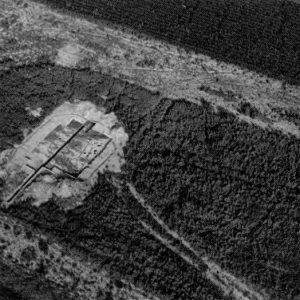
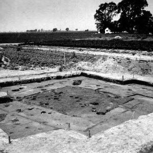
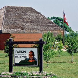
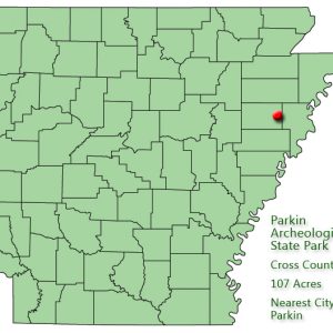
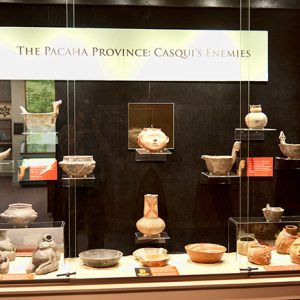
Parkin Archeological State Park in northeast Arkansas preserves and interprets a Mississippian-period Native American village that existed from approximately AD 1000 to 1550. European-made trade items from the era of Hernando de Soto’s expedition recovered at the park and written descriptions of the village support theories that the Spanish visited the Parkin Site in 1541. Many archeologists believe the site may be Casqui, mentioned prominently in the de Soto journals. Remnants of Indian villages similar to the Parkin Site were once numerous in eastern Arkansas, but soil erosion, careless digging, and farming destroyed virtually all of them during the nineteenth century. The prehistoric village on the eastern bank of the St. Francis River covered about seventeen acres and was enclosed …
Parkin Historic Site

The Parkin Historic Site is a seventeen-acre Native American village site along the St. Francis River in Cross County. Archaeological and geographical information indicates that it is probably the location of the town of Casqui mentioned in the narratives of the Hernando de Soto expedition, which passed through northeast Arkansas in the summer of 1541. In recognition of its national significance, the Parkin site was designated a National Historic Landmark in 1964 and has been on the National Register of Historic Places since 1966. The site is at the north end of Parkin and is the main focus of Parkin Archeological State Park. The Arkansas Archeological Survey established a research station at the site in 1990, and research on the …

Peeler Bend Canoe

The Peeler Bend Canoe is an extremely rare and well-preserved relic of Arkansas’s Native American heritage. Found by chance in 1999, the canoe is believed to have been made by members of the Caddo tribe. Radiocarbon dating places the canoe’s creation sometime between AD 1160 and 1300. After spending several years at the Historic Arkansas Museum (HAM) in Little Rock (Pulaski County), the Peeler Bend Canoe was placed on display in Riverside Park in Benton (Saline County). The canoe has been loaned to the City of Benton by the Department of Arkansas Heritage for exhibition until March 15, 2020. In August 1999, Benton resident Charles Greene was fishing in the Saline River near the Peeler Bend access located just outside …

Petit Jean Rock Art Sites

Petit Jean Mountain in west-central Arkansas boasts a large concentration of ancient Native American rock art that includes, as of 2023, seventy-six known individual sites with more than 1,000 pictographs (rock paintings) executed in red or black pigments, as well as petroglyphs (rock engravings). The study of this cultural resource began in 1914 when the wife and son of Dr. T. W. Hardison, the founder of the Arkansas state park system, found rock paintings in a cave near their home on the mountain. The pictographs received national attention after 1923 with the establishment of Petit Jean State Park. Discoveries continue to this day, as most of the paintings have been documented just since 2006 with the advent of new photographic …

Plum Bayou Mounds Archeological State Park
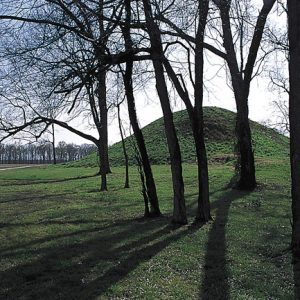
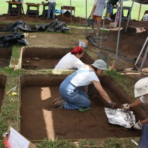
Plum Bayou Mounds Archeological State Park (previously the Toltec Mounds Archeological State Park) near Scott (Pulaski and Lonoke counties) is one of Arkansas’s most significant pre-European archaeological sites. The Toltec Mounds Site, with the state’s tallest Indian mounds, is also a National Historic Landmark. In 1812, Louis Bringier, a French explorer from New Orleans, Louisiana, traveled to present-day Arkansas and became the first European to discover the mounds. His description of the site’s “tolerably regular” alignment of mounds and the height of the two tallest mounds in contrast to the surrounding alluvial flatlands, the first such description, was reported in newspapers in 1821. William Peay Officer and his wife, Mary Eliza, purchased the area in 1849. There they maintained a …
Rock Art, Native American

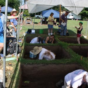
Rock art is a term archaeologists use to describe images on rock surfaces created both prehistorically and historically. Arkansas has one of the richest concentrations of rock art in eastern North America, primarily in the Ozark and Ouachita mountain areas of the state, with a concentration in the central Arkansas River Valley. Rock art has also been discovered along the Mississippi River escarpment toward the eastern part of the state. Most rock art is found in bluff shelters, but it also occurs on exposed boulders, bedrock outcrops, and in caves. Along with the other archaeological resources in the state, rock art is important to understanding the lives of Native Americans living within the region during the pre-colonial era. Rock art …

Sloan Site

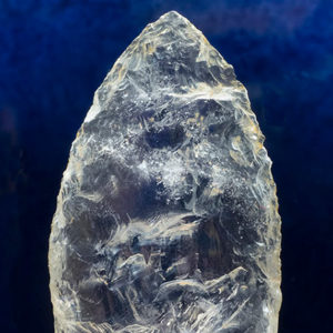
The Sloan site is located on an ice age sand dune in the lowlands of Greene County. People of the Dalton culture buried their dead in ceremonial fashion here about 10,500 years ago. Dalton people were mobile foragers who made and used a distinctive suite of stone tools. These tools have been found at sites across the mid-continental United States. Their material culture that has survived consists primarily of tools made from chert—a highly resistant silica-rich stone that is abundant in the Ozark Mountains, west of the Sloan Site—and in the gravel deposits of Crowley’s Ridge, just east of the Sloan Site. The Sloan Site is one of the oldest, if not the oldest, documented cemeteries in the New World. …

Toltec Mounds Site

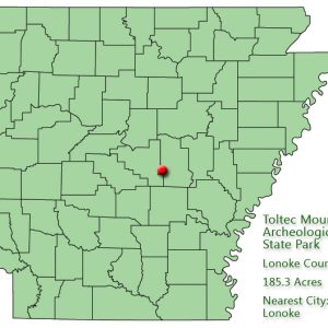
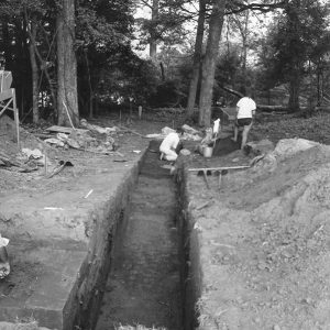
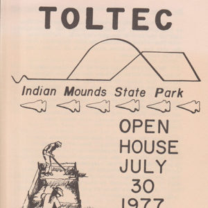
The 100-acre Toltec Mounds site in Lonoke County between Scott (Pulaski and Lonoke Counties) and Keo (Lonoke County) is one of the largest archaeological sites in Arkansas and in the lower Mississippi River Valley. It was designated a National Historic Landmark by the Heritage Conservation and Recreation Service of the United States Department of the Interior in 1978 in recognition of its significance in the history of America. It opened as a state park in 1980. Native Americans occupied the Toltec Mounds site and built the mounds between the years 650 and 1050 AD. Archaeologists use the name Plum Bayou Culture to refer to their way of life. This culture cannot be identified with any of the tribes living in …