Entry Category: Land and Resources

Cherokee Boundary Line

aka: Old Cherokee Boundary Line
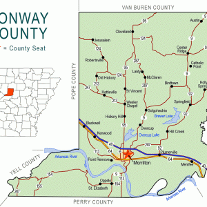
The Old Cherokee Boundary Line served as the eastern border of the first land set aside for Native Americans in Arkansas. The Treaty of the Cherokee Agency of 1817 created the definition for the line as beginning at the confluence of Point Remove Creek and the Arkansas River near present-day Morrilton (Conway County). The line was then to be marked in a northeasterly direction to Shields Ferry on the White River. General William Rector, along with commissioners appointed by the Cherokee, conducted the original survey and filed a report with the Government Land Office in 1819. Rector reported a distance of seventy-one miles and fifty-five chains. Rector’s survey and report were intended to satisfy both some Cherokee residents and some …

Choctaw Boundary Line

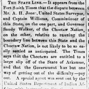
Determining the Choctaw Boundary Line and thus the western boundary of Arkansas below the Arkansas River was a process that involved political maneuvering, treaties with the Choctaw tribe, and other negotiations. The line was not even determined for one small strip of land until 1905. The Louisiana Purchase opened up a vast territory for the United States, and a few pioneers began to move into the lands west of the Mississippi River. In 1818, the first treaty was negotiated with the Quapaw tribe for the land west of a line that ran south from the “little rock” on the Arkansas River. The formation of Arkansas Territory in March 1819 brought more settlers. The settlers considered the lands to be in …

Climate Change

aka: Global Warming
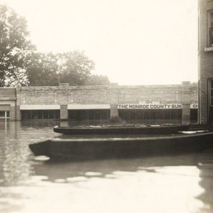
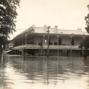
The spring of 2019 brought record flooding along the Arkansas River from Van Buren (Crawford County) to its confluence with the Mississippi River in the east. Historic crests occurred at Dardanelle (Yell County), Morrilton (Conway County), Toad Suck Lock and Dam near Conway (Faulkner County), and Pendleton (Desha County) between May 30 and June 6. In July 2019, the National Weather Service reported that the remnants of Hurricane Barry dumped 16.17 inches of rain on Dierks (Howard County), the most rain ever measured in a twenty-four-hour period (1:00 p.m. July 15 through 1:00 p.m. July 16) in Arkansas; the three-day total of 16.59 inches was the most rain associated with a tropical system in recorded state history. Murfreesboro (Pike County) …

Coal Mining

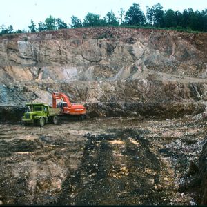
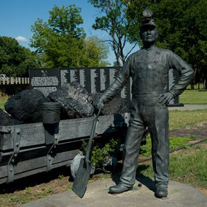
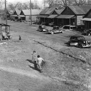
Coal fields in Arkansas are located in the Arkansas River Valley between the western border of the state and Russellville (Pope County) an area only about thirty-three miles wide and sixty miles long. Until about 1880, most coal mined in Arkansas was used near its original location, often to fuel the fires of blacksmiths. Between 1880 and 1920, coal was Arkansas’s first mineral/fuel output, used especially for locomotives and steam-powered machines, as well as for heating homes and businesses. After 1920, oil and oil byproducts pushed aside the popularity of coal as a fuel, and mining of coal decreased. Much of the coal mined in Franklin County and Sebastian County around the year 2000 was used in the manufacture of …

Coleman Dairy

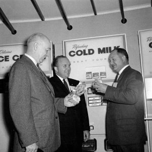
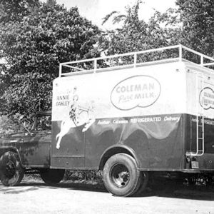
Coleman Dairy in Little Rock (Pulaski County) is the oldest continuously operating dairy by the same family west of the Mississippi River and was listed in 2001 by Family Business Magazine as the seventy-fifth-oldest family business in the United States. Five generations of Colemans have operated the business since its beginning in the early 1860s. Coleman Dairy became a division of Hiland Dairy in 2007. Eleithet B. Coleman founded Coleman Dairy in 1862. Attempting to stay ahead of the Civil War, he brought his family to central Arkansas with a few dairy cows. At the time he started the business, dairymen hauled their raw milk in crocks and poured it into whatever containers were brought out to the delivery wagon …

Compton, Neil Ernest

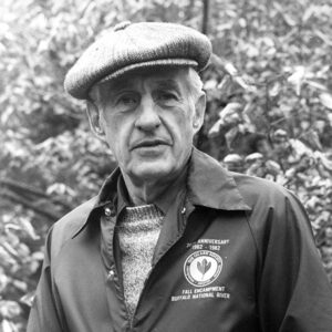
Neil Ernest Compton of Bentonville (Benton County) was a physician of obstetrics by profession and a conservationist by avocation. He is widely recognized as the founder of the Ozark Society to Save the Buffalo River, which he and his associates initiated on May 24, 1962, at a meeting in Fayetteville (Washington County). Today, it is known as the Ozark Society, Inc. Its original goal was to stop the construction of two proposed U.S. Army Corps of Engineers dams on the Buffalo River. Neil Compton was born on August 1, 1912, at Falling Springs Flats in Benton County, the son of David Compton Jr. and Ida Etta Wilmoth Compton. He attended elementary school at Bozarth, a rural school near Gentry (Benton County). …