Entry Category: Land and Resources

Rich Mountain

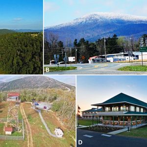
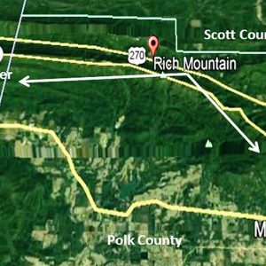
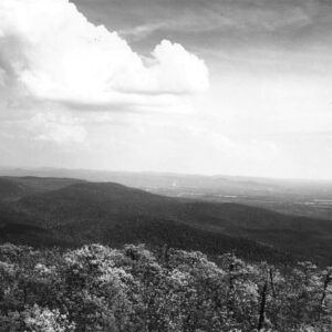
Rich Mountain, at 2,681 feet above sea level, ranks as Arkansas’s second-highest peak and the highest point in the U.S. Interior Highlands and the Ouachita National Forest. Its long ridge in western Arkansas (Polk County) is occupied by the fifty-four-mile Talimena Scenic Byway, a National Scenic Drive that traverses the entire ridge to extend farther westward into Oklahoma to the Winding Stair Mountains of Le Flore County. In Arkansas, the ridge begins on Arkansas Highway 88 (Skyline Drive) north of Mena (Polk County) and eventually turns into State Highway 1 on the Oklahoma side and begins just north of Talihina near Talimena State Park. At the apex of Rich Mountain is a fifty-eight-foot observation tower constructed in 1952 and used …

River Designations

aka: Wild and Scenic Rivers
aka: Arkansas Natural and Scenic Rivers System
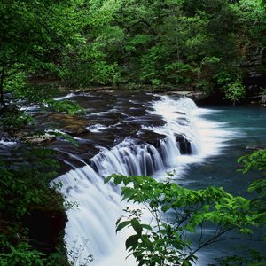
Designation of rivers as a method of protection grew out of the environmental movement of the late 1960s and early 1970s. In discussions of designation, the terms “river” and “stream” are used interchangeably. At the national level, the Wild and Scenic Rivers Act of 1968 was landmark in recognizing that certain rivers have value and should be preserved in their free-flowing condition. This legislation served as a model for state initiatives. The federal and state models for designation concentrated on activities in the principal channel of the river, such as damming and dredging. At the time, these activities were the biggest threats to rivers. Issues such as gravel mining, minimum stream flow requirements, and property rights activism had not yet …

Rivers

Arkansas has approximately 90,000 miles of rivers and streams. Thirty-three rivers are generally recognized as passing through Arkansas or along one of its borders; more than half of Arkansas’s rivers also enter or run along the borders of other states. While river travel has many hazards—including rapids and hidden snags—until the second half of the nineteenth century, the rivers of Arkansas often provided the best means of transportation for residents and visitors, and many cities and towns were established because of their proximity to rivers. A river is a narrow body of water with land on two sides, generally flowing downhill until it empties into another river or into a lake, sea, or ocean. All rivers are streams, but smaller …

Rust, John Daniel

John Daniel Rust invented the first practical spindle cotton picker in the late 1930s. The Rust cotton picker threatened to wipe out the old plantation system and throw millions of people out of work, creating a social revolution. Eli Whitney’s cotton gin had created the “Cotton South,” but the Rust picker threatened to destroy it. In 1949, Rust moved to Pine Bluff (Jefferson County), where the Ben Pearson Company produced cotton pickers using the Rust patents. John D. Rust was born on September 6, 1892, near Necessity, Texas, to Benjamin Daniel Rust, a farmer and schoolteacher, and Susan Minerva Burnett, a homemaker. As a youngster, Rust did farm work and displayed an aptitude for mechanical tinkering. His parents died when …

Saline River

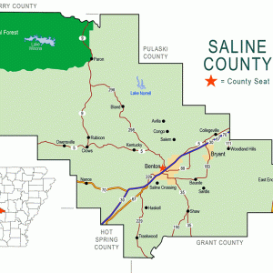
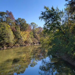
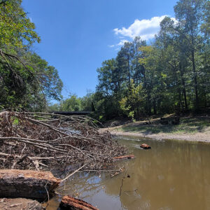
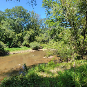
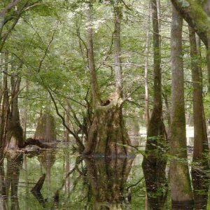
The Saline River is known throughout the South for its scenic beauty and its unique characteristic of being a mountain stream at its origin in the Ouachita Mountains and a Delta-type bayou near its mouth at Felsenthal (Union County), where the stream converges with the Ouachita River. It is the last free-flowing river in the Ouachita basin. The river derived its name from a salty marsh located near its mouth, called by the French the “Marias Saline,” though some historians claim that a salt works started near Benton (Saline County) as early as 1827 gave the river its name. At one time, these salt works supplied the bulk of salt used in the territory as well as surrounding states. Although …

Saltpeter Mining

Potassium nitrate, or saltpeter, is a naturally occurring mineral that is vital to the production of gunpowder. Found in limestone caves in the Arkansas Ozarks, it became one of the state’s most important chemical industries during the Civil War due to the Confederacy’s demand for arms. Although this resource was a definite advantage for the Confederacy, problems with labor, security, and transportation made Arkansas’s saltpeter mines an ultimate failure. Saltpeter deposits were known by early Arkansas settlers long before the Civil War in Madison, Searcy, Independence, Marion, and Newton counties. A geographical survey was conducted by Dale David Owens from 1857 to 1860. His findings were published in 1860, and, by 1862, the Confederacy, looking to arm itself for the …

Samuels, Stephen L.

Stephen L. Samuels, a Paragould (Greene County) native, was a lawyer at the United States Department of Justice for thirty-one years, developing a national reputation for expertise in environmental law, particularly the Clean Water Act of 1972. He served as the assistant chief of the Environmental Defense Section and oversaw some of the department’s most complex and contentious cases. In the wake of U.S. Supreme Court rulings that resulted in widespread confusion, he helped develop the Justice Department’s legal strategy for defending the Clean Water Act in nearly eighty lawsuits nationwide in state and federal courts. His work earned him the nickname “Mr. Clean Water Act.” Steven Lee Samuels was born in Paragould on February 2, 1952. He was the …

Sand and Gravel Mining

aka: Gravel and Sand Mining
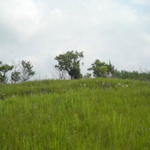
Sand is usually defined as an accumulation of mineral grains in sizes ranging from one-sixteenth to two millimeters. Sand normally consists predominantly of quartz grains of variable degrees of roundness. Other mineral grains within the sand size range are also present and typically consist of feldspar, chert, ilmenite, and other less abundant resistant minerals. Gravel is considered to be an unconsolidated mixture of rock fragments, pebbles, cobbles, and boulders of indefinite size, but always larger than sand-sized materials. Gravel normally consists of a mixture of rock types, depending upon the original source, and may consist of various quartz rock varieties, such as chert, sandstone, novaculite, agate, and milky vein quartz, as well as limestone, dolostone, and other resistant rock types. …

Save the River Parks Campaign

aka: Audubon Society of Central Arkansas v. Dailey
“Save the River Parks” was a slogan adopted by environmental and neighborhood groups in Little Rock (Pulaski County) in a four-year political and legal campaign that ultimately, in 1992, halted construction of a highway along the southern bank of the Arkansas River connecting the city’s downtown district to interstate highways and residential and business districts on the city’s western side. After a citywide vote and losing battles in state and federal courts, the city government, the Arkansas Highway and Transportation Department, and the U.S. Army Corps of Engineers abandoned the road construction. The subsequent construction of bicycle and pedestrian bridges over the Arkansas River and a tributary, as well as a trail system linking some twenty parks along the river …

Sharecropping and Tenant Farming

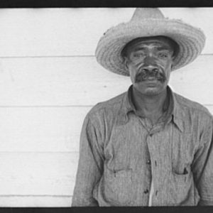
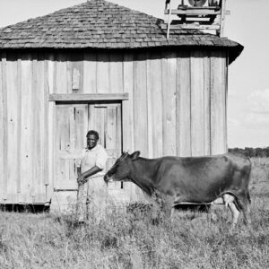
Farm tenancy is a form of lease arrangement whereby a tenant rents, for cash or a share of crops, farm property from a landowner. Different variations of tenant arrangements exist, including sharecropping, in which, typically, a landowner provides all of the capital and a tenant all of the labor for a fifty percent share of crops. Tenancies have been used widely throughout Arkansas, but prior to the Civil War, slaves worked most vast agricultural tracts along the Mississippi River planted in cotton. When the South lost the war, bringing slavery to an end, Arkansas landowners and freed slaves then began negotiating new labor relationships to cultivate land up and down the Arkansas Delta. While some planters preferred day labor, using …