Conway

Subcategories:
  • No categories
Clear

Entry Category: Conway

Morrilton (Conway County)

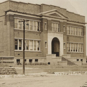
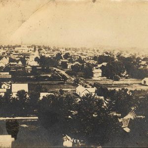
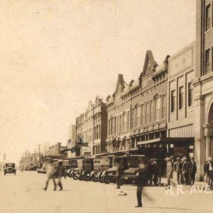
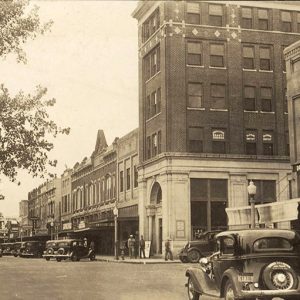
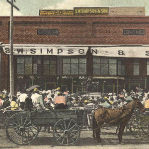
Morrilton, the seat of Conway County, is located on Interstate 40 fifty-four miles northwest of Little Rock (Pulaski County). It is home to the Winthrop Rockefeller Institute and the University of Arkansas Community College at Morrilton. Louisiana Purchase through Early Statehood In 1820, Major William Lewis and his son, Stephen D. Lewis, settled about a mile south of present-day Morrilton. In 1825, they established a trading post and called it Lewisburg. The new town thrived due to its location on the Arkansas River, and it soon had a large population and numerous businesses, including two newspapers and an opera house. A Masonic lodge served as the town’s first school. From November to December 1836, during the Trail of Tears forced migration, …

Old Hickory (Conway County)

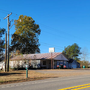
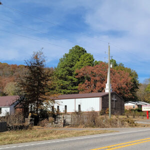
Old Hickory in Conway County is just one of the many rural, unincorporated Arkansas communities that once served as area commercial centers and have since disappeared. Located about fifteen miles northwest of Morrilton (Conway County), the community was perhaps best known for a general store that closed in 1983. The first documented white settler, John H. Jones, was drawn to the area in 1849 by cheap land. On September 22, 1858, a post office was established with Abihu Arnn as its first postmaster. It is said that the long-lost original name for the post office was rejected due to its being too long. One story states that Julius Mackie Washington Masingill, an early settler, then suggested naming the office after the hickory …

Oppelo (Conway County)

Known by thousands of travelers as the “turn-off” or last gas stop on the way to Petit Jean State Park, the small community of Oppelo had its origins many years prior to the development of the notable intersection of Highways 9 and 154. The often mispronounced name also provides recognition for this community of nearly 800. The area south of the Arkansas River in Conway County was negotiable territory in the early days and became a part of Perry County in 1840, when it was known as Aplin Township. In 1873, the Arkansas legislature returned the area to Conway County. Again, the area’s location relative to Petit Jean Mountain was an important consideration in the reunification with Conway County. The …

Plumerville (Conway County)

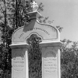
Plumerville was formed as a stagecoach stop in 1858, but the origins of the community are found along the Arkansas River in the early days of the Arkansas Territory. The community moved from the Harrisburg-Portland bottomland area to follow stagecoach and railroad developments. Samuel Plummer came to the area in 1833 and purchased 160 acres of the “first high ground” north of the Arkansas River. Over the next several years, the development of the Military Road from Little Rock (Pulaski County) to Fort Smith (Sebastian County) led to a stop on the Butterfield Overland Mail Company and the construction of the telegraph line across this important choice of land. The later railroad also needed to avoid the overflow areas and …

Point Remove (Conway County)

The designation of “Point Remove,” popularly employed to describe the confluence of Point Remove Creek in Conway County with the Arkansas River, is almost certainly derived from the French word remous, meaning “eddy” or “whirlpool.” Most instances of the term in early nineteenth-century documents follow this usage. However, the name “Point Remove” was later mistakenly connected to Indian Removal in Arkansas, supposedly marking the principal geographic point in the description of the boundary of Cherokee land in Arkansas, prior to the Cherokee population’s later relocation to Indian Territory (present-day Oklahoma). William Lovely used the term “point remove byo,” the abbreviation “byo” meaning “bayou” and thus designating the creek, in a public document in 1813. In his book Journal of Travels …

Springfield (Conway County)

Springfield (Conway County), once the county seat of Conway County, began as the intersection of the Old Cherokee Boundary Line and a principal route of the Western Cherokee in their relocation west of the Mississippi River. The National Road, from St. Genevieve, Missouri, was routed through the area, taking advantage of a large reliable artesian spring. These roads connected the area with developing population centers such as Batesville (Independence County), Clinton (Van Buren County), Lewisburg (Conway County), and Little Rock (Pulaski County). A small trading post was established that served the first settlers in the area, Cherokee who came in the early nineteenth century. They began clearing farmland plots and established cabins; some of the foundations remain. The trading post …