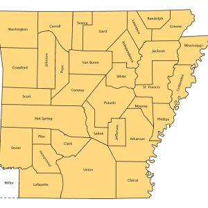
 Arkansas Counties Map, 1836
Entry Category: Political Geography
 Arkansas Counties Map, 1836
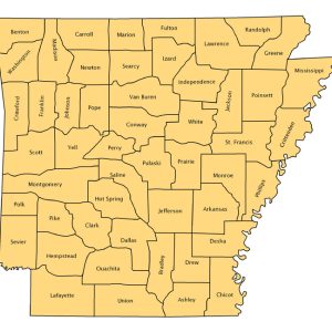 Arkansas Counties Map, 1850
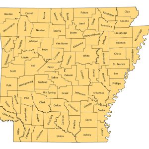 Arkansas Counties Map, 2005
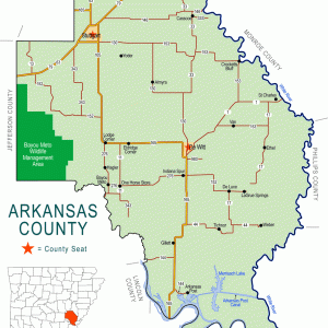 Arkansas County Map
Arkansas State Boundaries
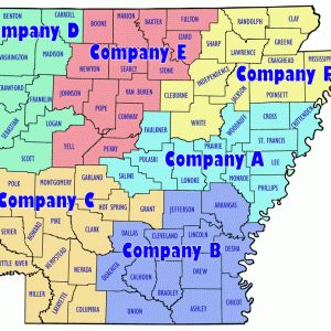 Arkansas State Police Companies Map
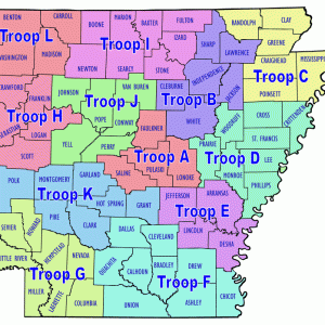 Arkansas State Police Troops Map
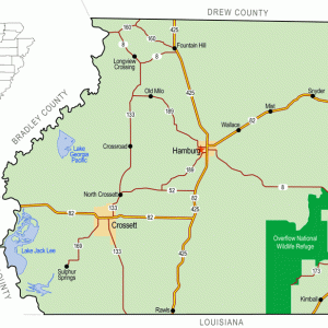 Ashley County Map
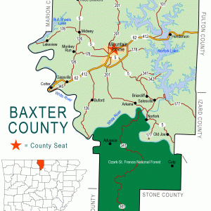 Baxter County Map
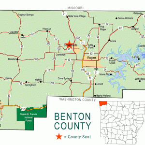 Benton County Map
Big Rock
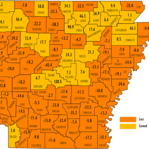 Black Population Change 2020
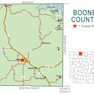 Boone County Map
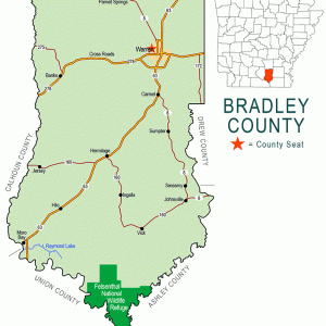 Bradley County Map
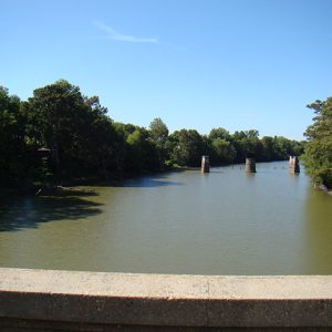 Cache River
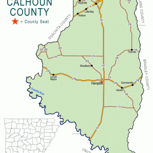 Calhoun County Map
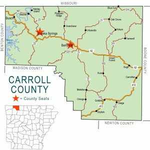 Carroll County Map
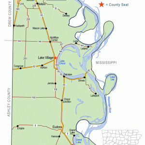 Chicot County Map
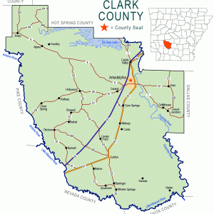 Clark County Map
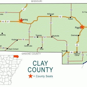 Clay County Map
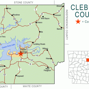 Cleburne County Map
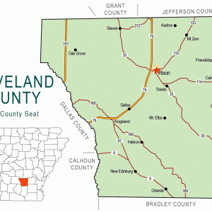 Cleveland County Map
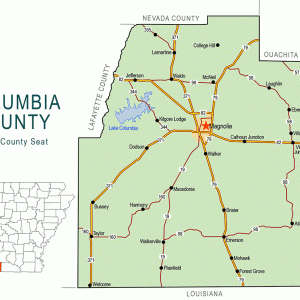 Columbia County Map
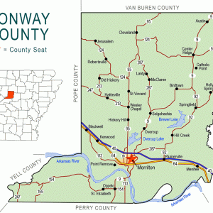 Conway County Map
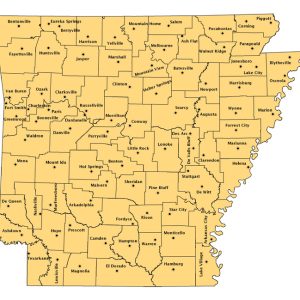 County Seats Map
 Craighead County Map
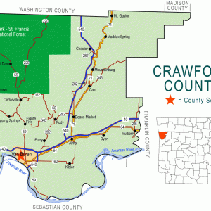 Crawford County Map
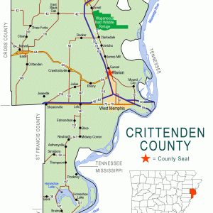 Crittenden County Map
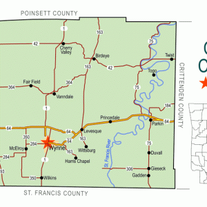 Cross County Map
 Andy Crum
 Andy Crum
 Andy Crum
 Andy Crum Bank Note
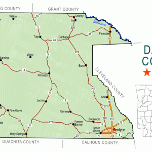 Dallas County Map
 Desha County Map
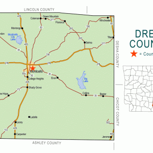 Drew County Map
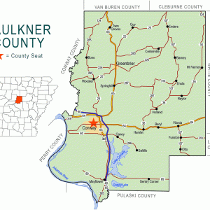 Faulkner County Map
 Franklin County Map
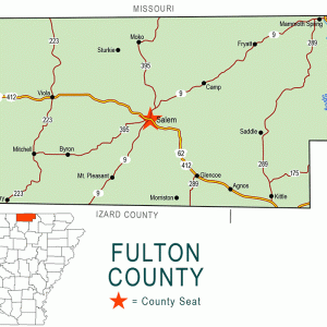 Fulton County Map
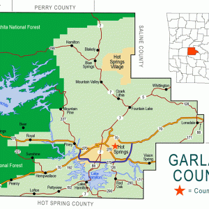 Garland County Map
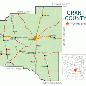 Grant County Map
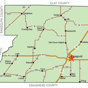 Greene County Map
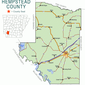 Hempstead County Map
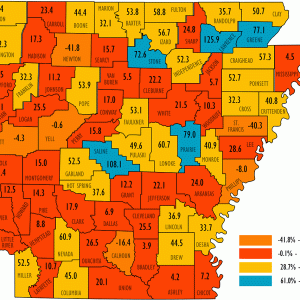 Hispanic Population Change 2020
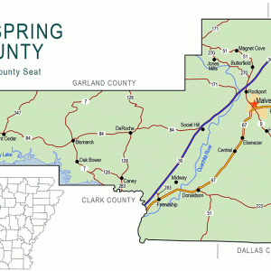 Hot Spring County Map
 Housing Units Change 2020
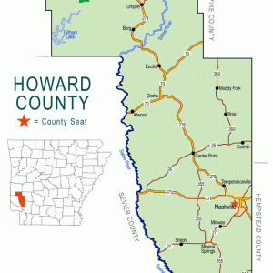 Howard County Map
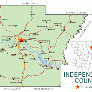 Independence County Map
Island 37
aka: Andy Crum (Lynching of)
aka: Bert Springs (Lynching of)
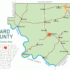 Izard County Map


