Keiser Waterworks
The Keiser Waterworks, located northeast of the junction of Water and East Main streets in Keiser (Mississippi County), was constructed in 1936 and installed with assistance from the Public Works Administration (PWA), a New Deal public relief agency. It was listed on the National Register of Historic Places on January 24, 2007. As the United States struggled with the effects of the Depression of the 1930s, President Franklin D. Roosevelt’s administration enacted the National Industrial Recovery Act (NIRA) to ease the effects of businesses closing. The act included an organization called the Federal Emergency Administration of Public Works (or Public Works Administration), which was created on June 16, 1933, to help finance federal construction projects and create jobs. The town …
 Tonya Kendrix
  King Schoolhouse
  William and Lucille King
 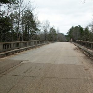 Kingsland Segment Overpass
  Kirkpatrick Cemetery Gravestone
  Kirkpatrick Cemetery Grounds
  Kirkpatrick Grave
  Kitchen Display
  Kleinschmidt House
 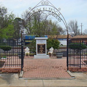 Klipsch Memorial
 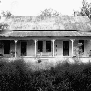 Ed Knight House
 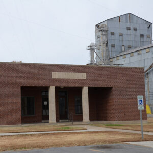 L. A. Black Rice Milling Association Inc. Office
  Lake Nixon
 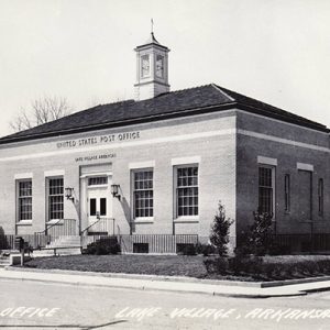 Lake Village Post Office
 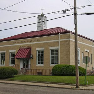 Lake Village Post Office
 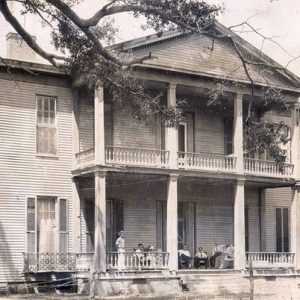 Lakeport Plantation
  Lakeport Plantation
 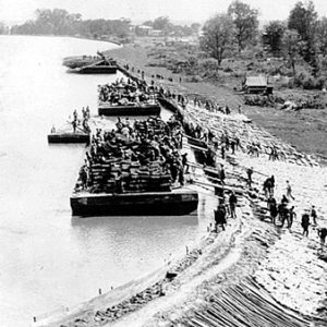 Lakeport Flood
  Lakeport Plantation
  Lakewood
 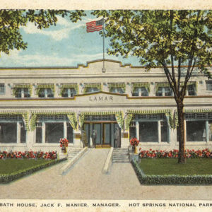 Lamar Bathhouse
  Lamar Porter Field
  Lanai Towers
  Latimore Tourist Home
  Lavaca Museum
 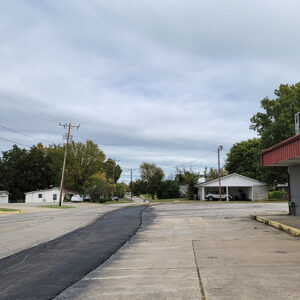 Lavaca Street Scene
 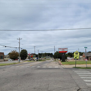 Lavaca Street Scene
  Leake-Ingham Building
 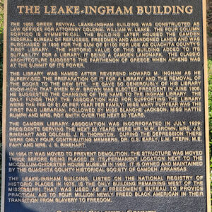 Leake-Ingham Building Sign


