Entry Category: Environment

Cache River National Wildlife Refuge

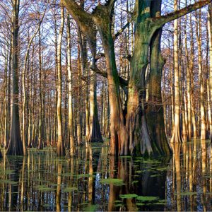
The 62,000-acre Cache River National Wildlife Refuge is the most important wintering area for ducks and the largest remaining tract of contiguous bottomland hardwood forest in North America. It runs along the floodplain of the Cache River and Bayou DeView for seventy air miles from the mouth of the Cache River at Clarendon (Monroe County) to Grubbs (Jackson County), encompassing Jackson, Monroe, Prairie, and Woodruff counties. In February 2004, the ivory-billed woodpecker, once thought extinct, was rediscovered on the refuge. The refuge was established in 1986 as one of 540 national wildlife refuges administered by the U.S. Fish and Wildlife Service. The refuge’s primary objective is to provide habitat for migratory waterfowl and other birds, to protect and restore the …

Climate Change

aka: Global Warming
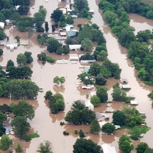
The spring of 2019 brought record flooding along the Arkansas River from Van Buren (Crawford County) to its confluence with the Mississippi River in the east. Historic crests occurred at Dardanelle (Yell County), Morrilton (Conway County), Toad Suck Lock and Dam near Conway (Faulkner County), and Pendleton (Desha County) between May 30 and June 6. In July 2019, the National Weather Service reported that the remnants of Hurricane Barry dumped 16.17 inches of rain on Dierks (Howard County), the most rain ever measured in a twenty-four-hour period (1:00 p.m. July 15 through 1:00 p.m. July 16) in Arkansas; the three-day total of 16.59 inches was the most rain associated with a tropical system in recorded state history. Murfreesboro (Pike County) …

Compton, Neil Ernest

Neil Ernest Compton of Bentonville (Benton County) was a physician of obstetrics by profession and a conservationist by avocation. He is widely recognized as the founder of the Ozark Society to Save the Buffalo River, which he and his associates initiated on May 24, 1962, at a meeting in Fayetteville (Washington County). Today, it is known as the Ozark Society, Inc. Its original goal was to stop the construction of two proposed U.S. Army Corps of Engineers dams on the Buffalo River. Neil Compton was born on August 1, 1912, at Falling Springs Flats in Benton County, the son of David Compton Jr. and Ida Etta Wilmoth Compton. He attended elementary school at Bozarth, a rural school near Gentry (Benton County). …

Dale Bumpers White River National Wildlife Refuge

aka: White River National Wildlife Refuge
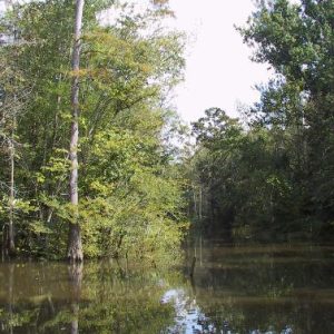
The Dale Bumpers White River National Wildlife Refuge, located in the floodplain of the White River near its confluence with the Mississippi River, was established in 1935 as the White River National Wildlife Refuge. Its purpose is to provide protection for birds traveling on the Mississippi Flyway during the migration seasons. The refuge also serves to protect the wildlife living there and to preserve the area’s natural beauty. The National Wildlife Refuge program began in 1903 to preserve nesting sites in remote areas such as south Florida and Alaska. In the 1930s, it was expanded to include sites along migratory routes of North America’s waterfowl. The White River National Wildlife Refuge was the second such refuge established in Arkansas. Like others …

Endangered, Threatened, and Rare Species

Arkansas has many plant and animal species, partly because of varied topography and a temperate climate. An abundance of wildlife and rich soils for planting crops drew many of the early European settlers to the state. Many resources have been harvested or depleted. Earlier generations did not take steps to ensure that certain species were protected as their numbers decreased, and today several plants and animals are classified as endangered, threatened, or rare. The Endangered Species Act of 1973 provides a means to conserve the ecosystems upon which endangered and threatened species depend and to provide programs to prevent their extinction. The Department of the Interior’s U.S. Fish and Wildlife Service (FWS) and the Commerce Department’s National Oceanic and Atmospheric …

Environment

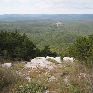
Arkansas’s physical environment features a mild climate, adequate rainfall, a rural and relatively uncrowded landscape, and diverse geology, which promote a variety of plants, animal life, and water resources. Understanding this environment requires examining the historical changes that have taken place, primarily those changes effected by human occupation. Each new culture and industry moving into the state has brought environmental changes, often dramatically affecting the landscapes of Arkansas’s six distinct geographic regions. An Environmental Snapshot Arkansas contains 53,179 square miles (some thirty-four million acres) composed of six regions: the Arkansas River Valley, Crowley’s Ridge, the Mississippi Alluvial Plain (also called the Delta), the Ouachita Mountains, the Ozark Plateau, and the West Gulf Coastal Plain. By 2022, more than 14.5 million …

Environmental Racism

The term “environmental racism” originated with the environmental justice movement that began developing in the United States in the 1970s. The movement argues that environmental racism is a clear reflection of systemic racism, being a product of often interrelated institutional rules, regulations, and policies coupled with governmental and/or corporate decisions that knowingly target certain communities to bear the burden of environmentally undesirable environments. In addition, the harm of those policies may be increased by the lax enforcement of existing laws and regulations as well as other governmental policies such as zoning. In the end, the affected areas are exposed to a significantly higher degree of hazardous waste and other types of pollution. While there has long been a recognition that …

Felsenthal National Wildlife Refuge

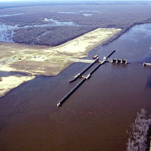
Felsenthal National Wildlife Refuge encompasses approximately 65,000 acres at the confluence of the Ouachita and Saline rivers, spreading across the borders of three counties—Union, Bradley, and Ashley—in southeastern Arkansas near the Louisiana Border. The refuge takes its name from the nearby town of Felsenthal (Union County). The refuge was established in 1975 in order to mitigate the environmental impact of the Ouachita and Black Rivers Navigation Project of the U.S. Army Corps of Engineers, which entailed the construction of locks and dams along both rivers in order to facilitate river traffic and prevent flooding. Felsenthal Lock and Dam on the Ouachita River impounds Lake Jack Lee, which the refuge surrounds. Numerous other waterways, such as Caney Bayou and Big Brushy …

Flint Creek Power Plant

The Flint Creek Power Plant, located near Gentry (Benton County) and operated by Southwestern Electric Power Company (SWEPCO), is one of four coal-fired power plants in Arkansas. On April 9, 1974, SWEPCO and the Arkansas Electric Cooperative Corporation (AECC) jointly filed an application with the Arkansas Public Service Commission (PSC) to build and operate a single-unit coal-fired power plant and related facilities in western Benton County near Gentry, close to the Arkansas-Oklahoma state line. SWEPCO would build and operate the plant. This application was the second request to build a major coal-fired generating plant in Arkansas filed within the first year after the Arkansas General Assembly adopted a law known as the Utility Facility Environmental Protection Act. The first request, …

Floating CCC Camp at Jacks Bay

The Civilian Conservation Corps (CCC) side camp BF-2 at Jacks Bay in Arkansas County was distinct from most other CCC camps in Arkansas in two ways: the enrollees were African American rather than white, and they were housed in floating government quarterboats rather than in barracks or tent camps. The side camp at Jacks Bay was occupied from January 1936 until May 1938, when it was abandoned, the boats removed, and the personnel integrated into another camp. The Jacks Bay side camp had its origins in President Franklin D. Roosevelt’s Executive Order 7173, issued on September 5, 1935, that authorized the Bureau of Biological Survey to acquire 110,000 acres on the Lower White River for protection and conservation of migratory …

Flood of 1927

aka: Great Flood of 1927
aka: Mississippi River Flood of 1927
aka: 1927 Flood
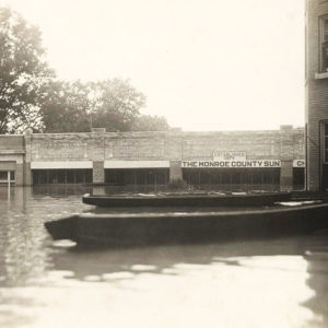
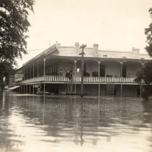
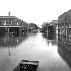
The Flood of 1927 was the most destructive and costly flood in Arkansas history and one of the worst in the history of the nation. It afflicted Arkansas with a greater amount of devastation, both human and monetary, than the other affected states in the Mississippi River Valley. It had social and political ramifications which changed the way Arkansas, as well as the nation, viewed relief from natural disasters and the responsibility of government in aiding the victims, echoing the Hurricane Katrina disaster in the present day. In largely agrarian Arkansas, the Flood of 1927 covered about 6,600 square miles, with thirty-six out of seventy-five Arkansas counties under water up to thirty feet deep in places. In Arkansas, more people …

Flood of 1937

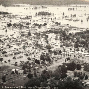
A cold, rainy January in 1937 set the stage for one of the worst floods—if not the worst—in Arkansas. Corrective action undertaken during the preceding ten years kept Mississippi River levees along Arkansas’s border from breaking, however, thereby preventing a repeat of the Flood of 1927. Nevertheless, eleven Arkansas waterways overflowed, inundating or otherwise affecting seventeen adjacent counties. Eleven additional states flooded, from West Virginia to Louisiana, affecting 1.5 million people in 196 counties and submerging 8,141,182 acres (12,721 square miles) along the Ohio and Mississippi river valleys. This natural calamity shattered all previous disaster records, excluding World War I, according to the American Red Cross (ARC). Flood conditions developed over January and February 1937 from abnormal barometric pressure over …