Entry Category: Cities and Towns

Richwoods (Clark County)

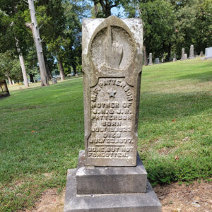
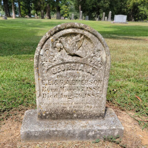
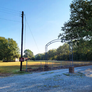
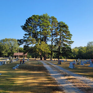
Richwoods is a community in Clark County located three miles south of Gum Springs (Clark County) and four miles north of Curtis (Clark County). The earliest settler in the area was Benjamin Dickinson, who purchased land in 1836. Dickinson moved to Clark County the previous year and was a native of North Carolina. Over the next decade, Dickinson acquired hundreds of additional acres of land to become one of the largest planters in the county. He owned two steamboats that transported his cotton down the Ouachita River, and according to the 1840 census, he owned forty-eight slaves. Upon his death in 1845, his estate was valued at approximately $40,000. The same day that Dickinson obtained his first parcels of property …

Rison (Cleveland County)

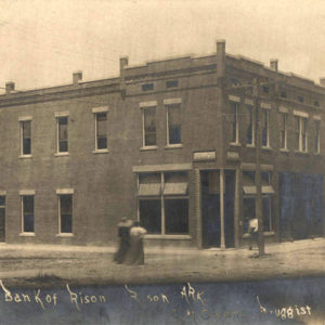
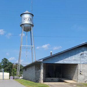
The Texas and St. Louis Railroad gave rise to Rison. The county seat of Dorsey (later Cleveland) County was originally at Toledo. When the railroad was routed through the county in 1882, Rison did not exist as a place name. Samuel Wesley Fordyce of Huntsville, Alabama, a former Union army officer, was authorized to determine the route of the railroad from Texarkana (Miller County) to Birds Point, Missouri. According to unsubstantiated legend, when the leading citizens of Toledo snubbed his plans to route the railroad through that community, he planned a route three miles north through land that later became the town of Rison. Fordyce named the growing community in honor of William Richard Rison, his former partner in a …

Ritz (Scott County)

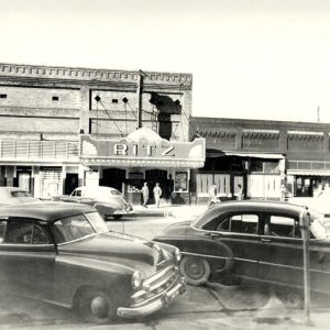
Ritz is an unincorporated community located in southwestern Scott County. The town was named for the Ritz family who settled in the area. Ritz was officially established in 1914 between Heath Creek and Clear Fork Creek. The agriculture and timber industries have traditionally contributed to the economy and way of life in Ritz. Prior to European exploration, the area surrounding Ritz was a wilderness. Several species of wildlife that no longer inhabit the area, such as elk and buffalo, were present throughout the region. Numerous archaeological sites and burial mounds are located along the banks of prominent waterways such as the Fourche La Fave River. Archaeological findings have provided evidence of early inhabitants dating to the Archaic, Woodland, and Mississippian …

Rockport (Hot Spring County)

Rockport is one of the oldest named places in Arkansas, and one of several communities that claims it was “almost” selected for the state capitol. Although the present city is overshadowed by Malvern (Hot Spring County), Rockport served as the county seat of Hot Spring County from 1846 to 1879 and was a landmark community of Arkansas for many years both before and after that time. European Exploration and Settlement through Early Statehood Large novaculite boulders in the bed of the Ouachita River made the location of Rockport ideal as both a river crossing and a resting place for weary river travelers. These boulders gave the community its name. A plaque in Rockport states that Spanish explorer Hernando de Soto …

Rocky Point (Independence County)

aka: Rock Point (Independence County)
Rocky Point, originally called Rock Point, is located on Highway 167 (Batesville Boulevard), about seven miles south of Batesville (Independence County), the county seat. Once a thriving community, twenty-first-century Rocky Point consists of a rock quarry called Rocky Point Materials. Rocky Point represents the dividing line between the Southside School District and the Midland School District of Pleasant Plains (Independence County). Rock Point is the rock formation at the southern point of where the Caney Creek bottoms end. In the early days of settlement, the bottomland provided suitable soil for small-scale farming, and the hill area was good for hunting small game, deer, and bears. Ample pasture land allowed for the running of cattle. Initially a part of the Round …

Roe (Monroe County)

Roe is a town on U.S. Highway 79 in western Monroe County. Roe is the only incorporated community in Monroe County that is west of the White River. Roe is on the northern edge of the Grand Prairie, a part of Arkansas that was slow to be claimed and settled. Around 1880, the St. Louis Southwestern Railway (also called the Cotton Belt) was constructed through Arkansas. Roe, then located in Prairie County, was one of the depots established by the railroad. It was likely named for a railroad executive or employee. Roe received a post office in 1880; at the time, Roe was in Prairie County, but the county line was adjusted in 1883. Being the first railroad depot south …