calsfoundation@cals.org
Smyrna (Clark County)
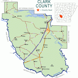
Smyrna is a community located in western Clark County. It is about five miles north of Okolona (Clark County) and two miles east of the Clear Spring (Clark County) community.
The land where Smyrna is located was obtained by land speculators Samuel Doresy and Henry Dawson on August 10, 1837, when they received a federal land patent at the office in Washington (Hempstead County). This plot was part of more than 4,000 acres that the pair obtained in Clark County that month.
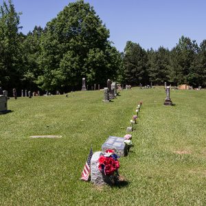
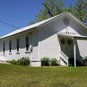
The area remained sparsely settled for decades. Located in the former Terre Noire Township, the community is centered on the Smyrna United Methodist Church and nearby cemetery. The land for the church and cemetery was donated by James and Lucinda Moore. James Moore obtained eight acres of land in the area in 1859 and served in the Confederate army during the Civil War.
The history of Smyrna is closely associated with Clear Springs. That community included a store and post office, as well as a Baptist church. The nearby Smyrna Methodist Church afforded the members of the larger community another worship experience. Smyrna never had a store or post office.
The community is located near the intersection of Smyrna and Halfway roads. In the twenty-first century, it has only the Smyrna church and cemetery and a few homes. The Peeples Cemetery is also located nearby and includes a number of graves of people who lived in the area. Most of the land is covered in timber, and the remainder is farmed.
For additional information:
Richter, Wendy, et al. Clark County Arkansas: Past and Present. Arkadelphia, AR: Clark County Historical Association, 1992.
David Sesser
Henderson State University
 Clark County Map
  Smyrna Cemetery
  Smyrna United Methodist Church


Comments
No comments on this entry yet.