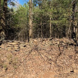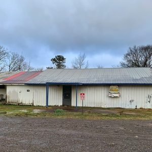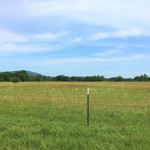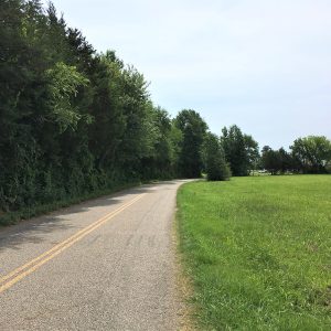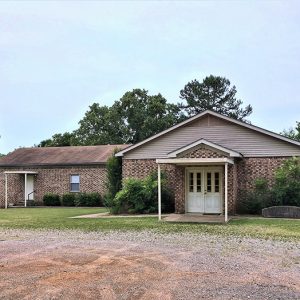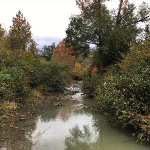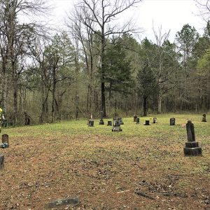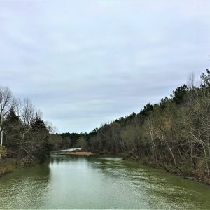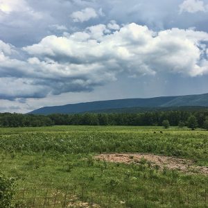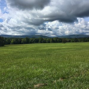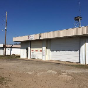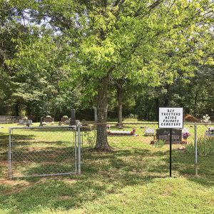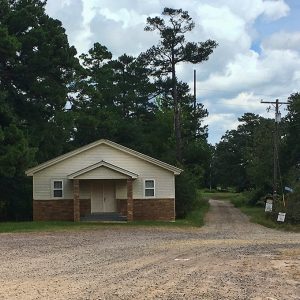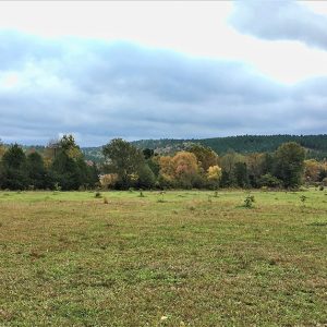
Abbott is an unincorporated community located in northern Scott County along Highway 71. Established in 1899 near the town of Mansfield (Scott and Sebastian counties), Abbott was likely named after certain members of the Abbott family who lived in the area during the late nineteenth century. The agricultural, mining, and natural gas industries have traditionally been important economic resources in Abbott and the surrounding area. Prior to European exploration, the area surrounding Abbott was a wilderness. Species of wildlife that no longer inhabit the area, such as elk and buffalo, were present throughout the region. Archaeological findings have provided evidence of early inhabitants dating to the Archaic, Woodland, and Mississippian periods. Additional evidence has indicated that the Caddo tribe had …
Located between Highway 80 and Highway 71 along Sweet Gum Lane, Anderson is an unincorporated community in central Scott County one mile northwest of Waldron (Scott County). The agricultural industry was vital to area settlers and later residents. The area’s first inhabitants included natives from the Archaic, Woodland, and Mississippian periods. Archaeological discoveries suggest that natives of the Caddo Nation made their homes along the Poteau River and other prominent waterways in the area. Thousands of archaeological sites can be found along the Fourche La Fave River and Poteau River valleys nearby. Throughout the late seventeenth and early eighteenth centuries, French hunters and tradesmen traveled west from Arkansas Post along the Arkansas River. From there, they began traversing smaller tributaries …
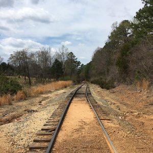
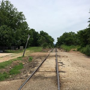
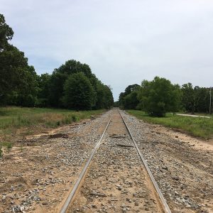
Beginning in 1896, the Kansas City, Pittsburg and Gulf Railroad (later the Kansas City Southern) arrived in Heavener, Indian Territory (present-day Oklahoma). Three years later, the Arkansas Western Railroad Company was incorporated in Arkansas in order to build a thirty-two-mile extension into Arkansas from Heavener to Waldron (Scott County). On October 1, 1901, an engine arrived in Waldron pulling fourteen carloads of steel rails that would finish the track. In 1904, the Kansas City Southern (KCS) organized the Arkansas Western Railway Company, and the Arkansas Western Railroad became a KCS subsidiary. Advertisements soon began running in local newspapers with a “Through Train” schedule. Beginning on July 24, 1904, passengers were able to board a train in Fort Smith (Sebastian County) …
Bates is an unincorporated community in western Scott County. It is located along Highway 28 west, between the junction of Shadley Creek and East Shadley Creek just north of the Poteau River. Bates was established in 1907 and named after the Bates family who settled in the area. Agriculture, timber, and coal mining have historically been important industries in Bates. Prior to European exploration, Bates was a wilderness lush with native vegetation and numerous species of wildlife, some of which no longer inhabit the area. Early inhabitants of the area were present during the Woodland, Archaic, and Mississippian periods. There are numerous archaeological sites located along the Poteau River south of Bates. This evidence indicates that the people of the …
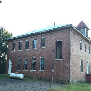
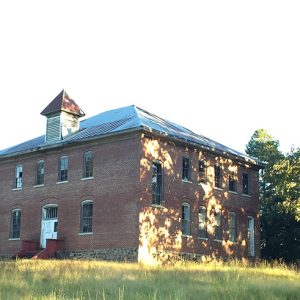
The Bates School House is located in the unincorporated community of Bates (Scott County). The schoolhouse was listed on the National Register of Historic Places on February 21, 2006. On May 1, 1915, James and Rosa Haywood donated 5.3 acres to the Bates and Gipson Special School District to build the schoolhouse. The building is estimated to have been constructed between 1916 and 1917 by the Bates community. The school initially provided educational instruction for students from first grade through high school. First- through sixth-grade classes were located on the first floor, while seventh- through twelfth-grade classes were located on the second. In the 1950s, Scott County began consolidating school districts, which in turn led to the closure of the …
Beauchamp is an unincorporated community located in southwestern Scott County. Named for the family who settled in the area, Beauchamp was established in 1901 along Black Fork Creek three miles west of Blansett (Scott County). The agricultural and timber industries have contributed to the economy and way of life in Beauchamp. Prior to European exploration, the area surrounding Beauchamp was an explored wilderness. Several species of wildlife that no longer inhabit the area, such as elk and buffalo, were present throughout the region. Numerous archaeological sites and burial mounds are located along the banks of prominent waterways such as the Fourche La Fave River. Archaeological findings have provided evidence of early inhabitants dating to the Archaic, Woodland, and Mississippian periods. …
Black Fork is an unincorporated community located in southwestern Scott County, just north of Black Fork Mountain. Black Fork was named after a creek—supposedly with dark, murky water—that flows through the area. Black Fork Creek is a distributary of the Fourche La Fave River and a tributary of the Poteau River. The agriculture and timber industries have traditionally been important in Black Fork. Archaeological findings have provided evidence of early inhabitants dating to the Archaic, Woodland, and Mississippian periods. Further archaeological evidence has indicated that people of the Caddo tribe inhabited the area. During the late seventeenth and early eighteenth centuries, French hunters and tradesmen traveled west from the Arkansas Post exploring portions of western Arkansas. Several rivers that flow …
Blansett is an unincorporated community in west-central Scott County. It was established in 1877 along the Black Fork of the Fourche La Fave River, which flows west through the Ouachita National Forest. The small community is surrounded mostly by forest, with some areas containing pastures. Evidence from the Archaic, Woodland, and Mississippian periods has been found throughout the area. The Caddo tribe once had a strong presence throughout Scott County, especially along prominent bodies of water. Numerous archaeological mounds have been discovered along waterways throughout the area, including Black Fork Creek. There is little evidence of early European exploration around Blansett. However, it is likely that French trappers and explorers traversed the rivers and creeks around Blansett in the late …
Blue Ball is an unincorporated community in eastern Scott County located on Highway 80. Blue Ball was established in 1873 along Dutch Creek. Blue Ball’s name originated from resident Salina Millard, who awoke on a cold morning and noticed how the mountain directly in front of her house looked like a large blue ball. The agriculture and timber industries have contributed to the economy and way of life in Blue Ball. Prior to European exploration, the area surrounding Blue Ball was a wilderness. Several species of wildlife that no longer inhabit the area, such as elk and buffalo, were present throughout the region. Numerous archaeological sites and burial mounds are located along the banks of prominent waterways such as Dutch Creek. Archaeological findings have provided evidence of early …
Bluff Ridge is a historical community located north of Highway 378 in northern Scott County. Bluff Ridge was established just north of Poteau Mountain and two miles west of the Petit Jean River. Agriculture and timber have been important to the area. Prior to European exploration, Bluff Ridge was a wilderness lush with native vegetation and numerous species of wildlife—including buffalo and elk, which no longer inhabit the area. Archaeological evidence from the Archaic, Woodland, and Mississippian periods has been discovered throughout the area. Additional evidence has indicated that the Caddo tribe had a strong presence along the Petit Jean River and other prominent waterways. Throughout the late seventeenth and early eighteenth centuries, French trappers and explorers traveled west from the Arkansas …
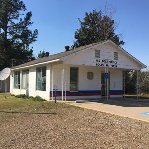
Boles is an unincorporated community located along Highway 71, nine miles south of Waldron (Scott County). Boles was established in the mid-nineteenth century along the Fourche La Fave River, which runs through the Fourche River Valley of the Ouachita Mountains. The first inhabitants of the area arrived thousands of years before Europeans, leaving archaeological evidence from the Archaic, Woodland, and Mississippian periods. The Caddo tribe had a strong presence along the Fourche Le Fave River and other prominent waterways. Burial grounds have also been discovered in the southern portion of Scott County near Boles. Throughout the late seventeenth and early eighteenth centuries, French trappers and explorers likely traveled the waters of the Petit Jean, Fourche La Fave, and Poteau rivers …
Pat Bond of Jacksonville (Pulaski County) served in the Eighty-first, Eighty-second, and Eighty-third Arkansas General Assemblies from 1997 to 2002, representing District 64, which covers part of Pulaski County. Patricia Lee Parker was born on August 6, 1938, in Gladewater, Texas, to Murray Parker and Lucille A. Lee, who was a professional dancer with Chester Hale Girls, a Broadway dance ensemble that toured nationally and appeared in short Mentone films. In 1942, they moved to Arkansas, settling in Lewisville (Lafayette County), where her grandfather owned Lee Dry Goods Store. She was educated in the public schools of Lewisville and later reflected that “growing up in Lewisville was the kind of experience that you would want every child to have.” In high school, Pat was a cheerleader and a majorette, class president, and a member of the National Honor Society and the school newspaper and yearbook staffs; in addition, she played basketball and acted in class …
Boothe is an unincorporated community in northern Scott County located along Highway 71. Boothe was established in 1889 just north of the Petit Jean River and named after the Booth family who settled in the area. The community was known as Tumlinsonville and later Tomlinson prior to being named Boothe. Agriculture has traditionally been an important way of life in the area. Prior to European exploration, the area surrounding Boothe was a wilderness. Several species of wildlife that no longer inhabit the area, such as elk and buffalo, were present throughout the region. Numerous archaeological sites and burial mounds are located along the banks of prominent waterways such as the Fourche La Fave and Poteau rivers. Archaeological findings have provided …
Brawley is an unincorporated community in western Scott County located near Lake Hinkle. Named for the family who settled in the area, Brawley was established in 1860 at the base of Walker Mountain along Jones Creek, a tributary of the Poteau River. Agriculture and timber have contributed to the economy and way of life in Brawley. Prior to European exploration, the area surrounding Brawley was an unexplored wilderness. Several species of wildlife that no longer inhabit the area, such as elk and buffalo, were present throughout the region. Numerous archaeological sites and burial mounds are located along the banks of prominent waterways such as the Fourche La Fave and Poteau rivers. Archaeological findings have provided evidence of early inhabitants dating …
Bryan is an unincorporated community located in northwestern Scott County along Highway 28 north of the Poteau River. The community of Bryan was also known as Center Point and Bryan’s Spur. Agriculture has traditionally been important to the area. Prior to European exploration, Bryan was a wilderness lush with native vegetation and numerous species of wildlife—including buffalo and elk, which no longer inhabit the area. Archaeological evidence from the Archaic, Woodland, and Mississippian periods has been discovered throughout the area. Additional evidence has indicated that the Caddo tribe had a strong presence along the Poteau River and other prominent waterways. Throughout the late seventeenth and early eighteenth centuries, French trappers and explorers traveled west from the Arkansas Post along the Arkansas River. From there, they began traversing smaller …