County: Independence

Batesville National Guard Armory

aka: Abraham Armory
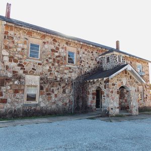
The Batesville National Guard Armory at 380 South Ninth Street in Batesville (Independence County) is a single-story, Art Deco–style structure built in 1936–1937 with assistance from the Works Progress Administration (WPA), a Depression-era federal relief program. It was listed on the National Register of Historic Places on May 29, 1998. Citizen-soldier militias have had a constant presence in the United States since the colonial era, but it was not until Congress passed the Militia Act of 1903—also known as the Dick Act for sponsor Senator Charles W. F. Dick, chairman of the Committee on the Militia—that the National Guard became an official partner in the nation’s armed services, receiving federal support for training, equipment, and wages. Arkansas’s state militia was …

Batesville Regional Airport

The Batesville Regional Airport is located on Highway 167 (Batesville Boulevard) in the town of Southside (Independence County), about four miles south of Batesville, the county seat of Independence County. The City of Batesville owns the airport, which is a public-use general aviation airport averaging ninety-five aircraft operations per day (approximately six percent of which are military). The airport and hangars accommodate light general aviation aircraft of all sizes, including small jets. In 2015, the airport had more than fifty based aircraft and employed seventy-two people. The economic impact of the airport on Batesville and Independence County—including on motels, restaurants, transportation businesses, and the poultry industry—has been estimated by the Arkansas Department of Aeronautics to be approximately $5,486,400 annually. The …

Batesville, Skirmish at (February 4, 1863)

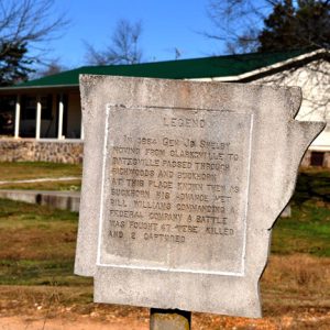
On December 31, 1862, General John S. Marmaduke and 8,000 cavalry launched a raid into Missouri from near Lewisburg (Conway County) in the Arkansas River Valley, only to meet defeat at Hartsville, Missouri. The Confederate retreat back into Arkansas took them to Independence County, retracing the steps of Brigadier General Samuel Curtis’s army eight months earlier. Gen. Marmaduke established his troops at Oil Trough (Independence County), and Colonel Joseph O. Shelby set up camp at the farm of Franklin Desha. Both bivouacs were south of the White River, but Marmaduke’s headquarters were at the Cox house in Batesville (Independence County). Union forces in Missouri gathered at West Plains, Missouri, on January 29, 1863. The next day, Brigadier General John Davidson …

Batesville, Skirmish at (May 3, 1862)

On March 6–8, 1862, one of the most important Civil War battles west of the Mississippi River was fought at Pea Ridge (Benton County) in northwest Arkansas. The Army of the Southwest under Brigadier General Samuel R. Curtis defeated the Confederate army of Major General Earl Van Dorn, with the result that Missouri remained in the Union and the path into Arkansas was open to the Union army, hampered only by Confederate units who were trying to block the paths south and east of Pea Ridge. Gen. Curtis was following his orders to take his large army of more than 20,000 and seize Little Rock (Pulaski County), thus securing Arkansas for the Union. His Army of the Southwest contained regiments from …

Baxter, Elisha

Elisha Baxter, a Unionist leader during the Civil War and a jurist, is best remembered as Arkansas’s last Republican governor during Reconstruction. The attempt to overthrow him became known as the Brooks-Baxter War. Baxter’s victory resulted in the end of Reconstruction and the adoption of the Constitution of 1874. Elisha Baxter was born on September 1, 1827, in Rutherford County, North Carolina, to William Baxter and his second wife, Catherine Lee. She was the mother to five sons and three daughters out of William Baxter’s twenty children. His father had emigrated from Ireland in 1789 and prospered in Rutherford County in western North Carolina, acquiring land and slaves. Baxter received a limited education and sought to better himself by obtaining …

Bean’s Rangers

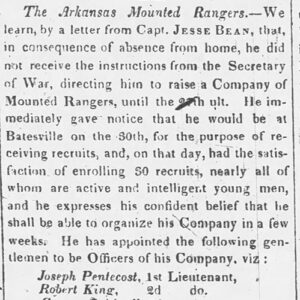
Captain Jesse Bean’s Ranger Company was one of six companies of mounted militia authorized by Congress in 1832. Led by a member of a prominent Arkansas family, the company formed a part of the first mounted battalion in the U.S. Army for seventeen years. Its actions are representative of the militarization of Arkansas’s western border and the area beyond during the territorial period. Influenced in 1815 by a need for economy and a deep-rooted fear of standing armies, Congress had eliminated cavalry, considered by some to be a uniformed elite, from the army. However, the Black Hawk War in Illinois and Wisconsin reminded legislators of the utility of cavalry, and, on June 15, 1832, Congress authorized President Andrew Jackson to raise …

Bethesda (Independence County)

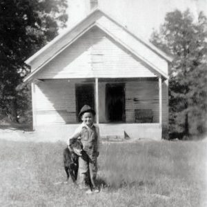
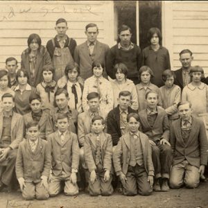
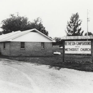
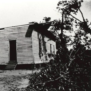
Although there were settlers in what became Bethesda (it was originally called Washington) in the early days of statehood, the community was officially established with the opening of a post office in 1888. The name of the community is believed to have been derived from the biblical Bethesda healing pool in Jerusalem, the word meaning “house of grace” or “house of mercy.” Bethesda is located along Highway 106, about three miles south-southeast of Cushman (Independence County) and about eight miles west-northwest of the county seat of Batesville (Independence County). The White River is about four miles to the south, where Lock and Dam No. 2 is located. The Union Pacific Railroad follows the White River bank south of Bethesda. The …

Brooks, John Doyle

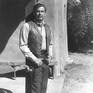
John Doyle Brooks was a stuntman and actor whose career included appearances in some of the most renowned television shows of the 1950s and 1960s, including The Adventures of Rin Tin Tin and Naked City, as well as several movies and commercials. Doyle Brooks was born on December 10, 1923, in Bethesda (Independence County) to John Henry Brooks and Deliah Ann Queary Brooks. Brooks developed an interest in show business at an early age, especially in the cowboy/western genre. On his parents’ farm in Bethesda, he learned to ride, rope, break horses, and shoot, becoming an expert marksman and sharpshooter. In 1942, he married Bernice Sheffield of Batesville (Independence County), who shared his interest in the entertainment industry. Together, they …

Brown, J. L.

aka: James Lafayette Brown
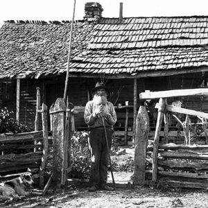
James Lafayette (J. L.) Brown, one of the most influential early leaders of the Landmark Baptist movement in Arkansas, was a minister, editor, poet, legislator, and published writer. J. L. Brown was born at Elm Store, a rural community on the Eleven Point River in northwestern Randolph County, on December 7, 1853. He was the youngest of the eight children of the farming family of Elijah Brown and Mozilla Brown. His father died in 1859, and Brown and his family relocated to eastern Independence County after the Civil War. He later recalled that he “was raised in poverty and received the most rudimentary of educations.” Most of his classroom education was obtained after he was an adult. He was ordained …

Burton-Aikin Feud

The Burton-Aikin (also spelled “Aiken”) feud between Dr. Phillip Patrick (known as P. P.) Burton and Dr. Trent C. Aikin—who both practiced medicine in Batesville (Independence County )—began on October 21, 1841, with the death of Nicholas E. Burton (son of P. P. Burton) and ended on September 15, 1849, when an Independence County jury found P. P. Burton’s son Phil Burton “not guilty” in the murder of Dr. Aikin. The feud grew out of a medical disagreement between the two doctors. Dr. Aikin was called to treat a “Negro woman” (presumably a slave) belonging to a Mr. Byers of Batesville. Aikin diagnosed the woman with liver disease and began treatment of it. When the woman failed to improve, Byers asked Dr. …

Byrd, Henry

Henry Byrd was one of Arkansas’s most prolific antebellum portrait painters. His portraits present Arkansas’s merchants, planters, and professional gentlemen, along with their wives and children, as they wished posterity to see them. Henry Byrd was born in Ireland in 1805, one of seven children born to William Byrd and Anne Garrett of Belmount Hall, County Tiperary. He immigrated to America and was naturalized through the port of New York City in November 1835. He established himself as a painter and resided at 164 Delancy Street in New York City. During his years in New York, Byrd married Sarah J. Updike, and they had two children while still in New York. Sometime during the late 1830s, the family migrated south, …

Caney (Independence County)

Caney Creek begins as a spring in the hills of the Ed Taylor Holler at McHue (Independence County), moves east through Southside (Independence County), and empties into Salado Creek near the Old Rock Bridge between Salado (Independence County) and Rosie (Independence County). Caney, a pioneer community, emerged along its banks in the early 1800s on what is today Kyler Road, where it intersects with Highway 167 South (Batesville Boulevard). Pioneer farmers found the alluvial land along the banks of Caney Creek to be ideal for the growing of grain crops, including corn (which could be used in the profitable moonshine business). One of the first to make his home in Caney was John Kyler from Tennessee, who appeared on the …

Causby, Robert Albert (Execution of)

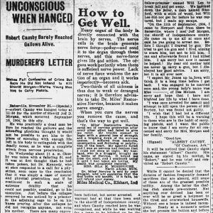
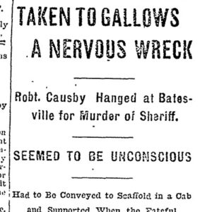
Robert Albert Causby, though senseless at the time of his execution, was hanged at Batesville (Independence County) on November 25, 1904, for murdering the county sheriff. Robert Causby was born in Independence County on October 14, 1883, the son of Hepsey Catherine Causby, and grew up in Union Township near the Izard County line. His criminal career began when he was a teenager and stole an axe from the township’s constable, who fled the area after reporting that Causby had shot at him. He was jailed in Fulton County for the December 1900 robbery of a post office but escaped in February 1901 after striking a jailer with a log. Causby ran off to the Indian Territory (present-day Oklahoma) and …

Cedar Creek Bridge

aka: Goodie Creek Bridge
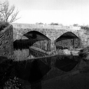
The Cedar Creek Bridge, located on Independence County Road 235 where it crosses Cedar Creek about one and a half miles south of its intersection with Arkansas Highway 14 near Rosie (Independence County), is a stone, closed-spandrel deck arch bridge. It was constructed in 1941 by the Works Progress Administration (WPA), a Depression-era public relief agency. The road to the site of the Cedar Creek Bridge did not appear on Arkansas maps until 1936, five years before the structure was erected, indicating it was likely the location of a ford. Independence County leaders turned to President Franklin D. Roosevelt’s New Deal for funding to improve this and other roads throughout the county during the Great Depression. On January 29, 1940, …

Cedar Grove (Independence County) [Northeast]
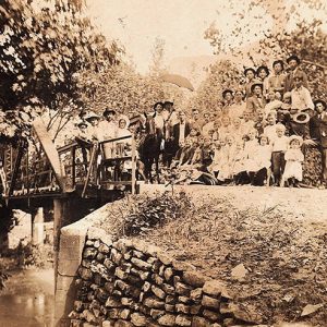
There are two communities named Cedar Grove in Independence County, one south of the White River between Floral and Pleasant Plains, and the other north of the White River near Charlotte and Cave City (Sharp and Independence counties); the two communities are often confused. Both are historical communities dating back to before the Civil War. Both are said to take their names from clusters of cedar trees found in the areas where log homes were built by the first settlers. Each one has a Cedar Grove Cemetery. Cedar Grove in the northeastern part of the county is located in Dota Township on Curia Creek seven miles southeast of Cave City and about fourteen miles east-northeast of Batesville (Independence County). It …

Cedar Grove (Independence County) [Southwest]
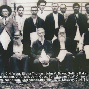
There are two communities named Cedar Grove in Independence County—one south of the White River near Floral (Independence County) and Pleasant Plains (Independence County), and the other north of the White River near Charlotte (Independence County) and Cave City (Sharp and Independence counties). This has led to much confusion, as each one has a Cedar Grove Cemetery. The two locations are often confused on the Internet as well. Both are historical communities dating back to before the Civil War, and both are said to take their names from clusters of cedar trees found in the areas where log homes were built by early settlers. Cedar Grove in the southwestern part of the county lies on Highway 87 (Floral Road) between …

Charlotte (Independence County)

Charlotte is located just off Highway 25 (a.k.a. White Drive) on Old School Road near the banks of Dota Creek, twelve miles east-northeast of the county seat of Batesville (Independence County) and about five miles west of Cord (Independence County). Rich farmland lies to the south of Charlotte in the Big Bottom alluvial lands along the Black and White rivers. There is also high-quality grazing land for cattle in the Charlotte region. Charlotte is in the township of Dota, which includes three churches—Cedar Grove Church, Center Grove Church, and Pleasant Hill Church. In 1852, seventeen-year-old James Northcroft Churchill crossed the Mississippi River from Tennessee with his family, which settled in Walnut Grove (Independence County). A few years later, he opened …

Chinn Spring (Independence County)

A popular place for church and social picnics in the late 1800s and early 1900s, Chinn Spring is located on Cave Creek in Ashley Township on Chinn Spring Lane just east of Polk (or Poke) Bayou. The community of Chinn Spring emerged near the spring. The Will Chinn Cave is located in this vicinity. Batesville (Independence County), the county seat, is located about five miles south of Chinn Spring. Today, the spring is located on private property owned by a Batesville businessman. John French Chinn was born in 1810 in Fauquier County, Virginia, where, in 1832, he married Lydia Elizabeth Byrne. Following the death of Chinn’s parents, the two moved to Ruddell (Independence County) around 1847. On the 1860 census, …