St. Paul (Madison County)
St. Paul is a town in southern Madison County on the banks of the White River. Crossed by State Highways 16 and 23, St. Paul is just to the north of the Ozark National Forest and is near several high peaks of the Ozark Mountains. Osage hunted and fished in the Ozark Mountains of northern Arkansas long before the first white settlers arrived. By 1834, fifteen settlers had already made their homes in the White River valley around St. Paul. A post office was established there in 1840. A Methodist church was also established around that time. The earliest land patent issued for the area was received by William Ake in 1848. He was joined by Fielden Salyer in 1860. …
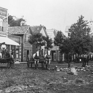 St. Paul
 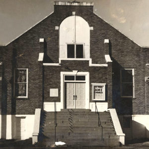 St. Paul A.M.E. Church
 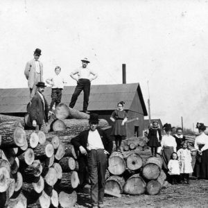 St. Paul: Railroad Timber
 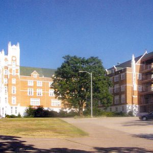 St. Scholastica Monastery
 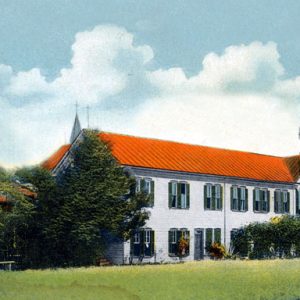 St. Scholastica Monastery
 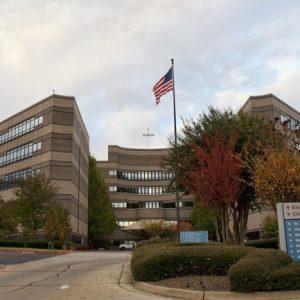 St. Vincent Hot Springs
 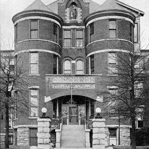 St. Vincent Infirmary
 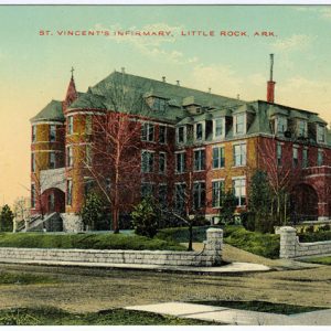 St. Vincent Infirmary
 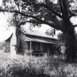 Stagecoach House
 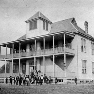 Stamps High School
 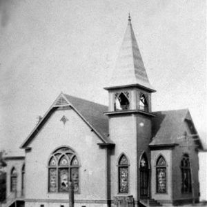 Stamps Presbyterian Church
 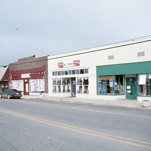 Star City Commercial Historic District
 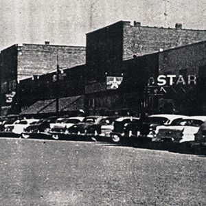 Star City Street Scene
 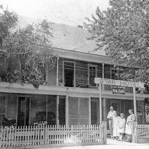 Star Hotel
 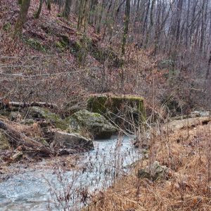 Stark Spring Washer Remains
 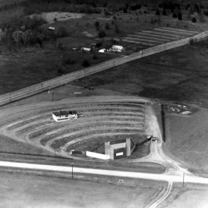 Starlight Drive-in
 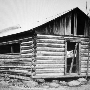 Starnes Spring School
 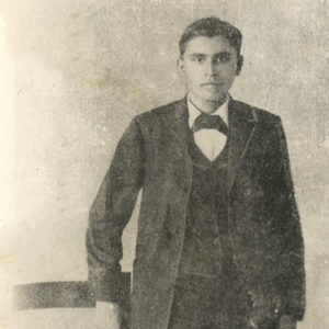 Henry Starr
 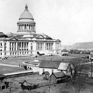 State Capitol Building
 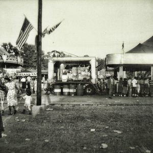 State Fair Attendees
 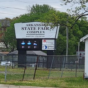 State Fair Complex
 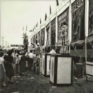 State Fair Sideshows
 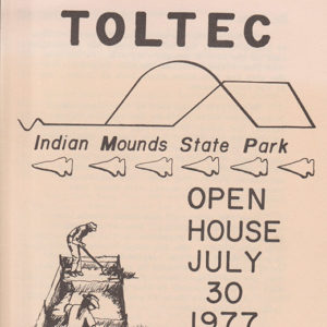 Park Open House Brochure
 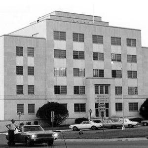 State Welfare Department
 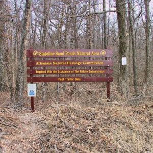 Stateline Sand Ponds Natural Area
 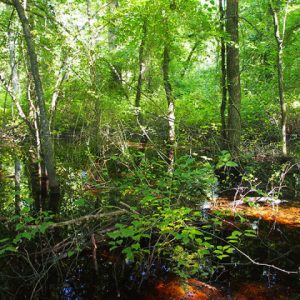 Stateline Sand Ponds Natural Area
 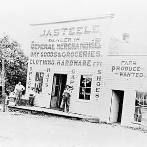 Steele Store
 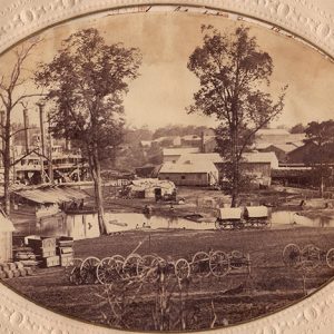 Steele Supply Depot
 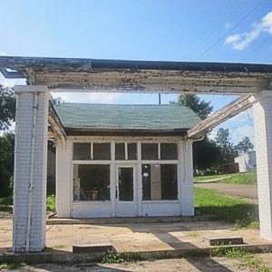 Stephens
 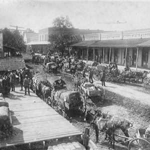 Stephens Cotton Wagons
 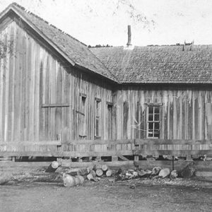 Amanda Stephens's Home
 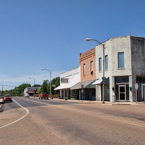 Stephens Street Scene
 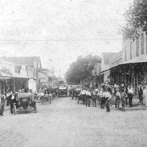 Stephens Street Scene
  Stephens Inc. Building
 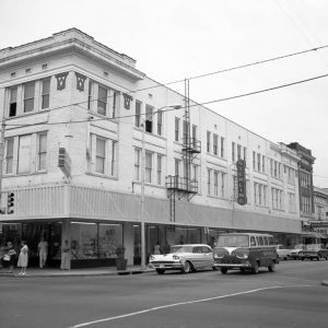 Sterling Store
 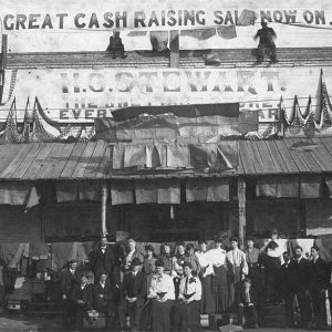 Stewart Store
 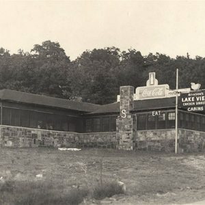 Stinson's Restaurant
 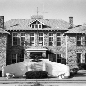 Stone County Courthouse


