Southside (Independence County)
Southside is a second-class city in Independence County, south of Batesville (Independence County). It incorporated in 2014 to prevent Batesville from annexing the community. Batesville, on the White River, was one of the earliest settlements in Arkansas Territory. According to the Goodspeed history of Independence County, the Trimble family moved from Kentucky to a settlement five miles southwest of Batesville in 1817. They were most likely the first white settlers in what now is Southside. Batesville flourished, while the population south of the river remained sparse. Neighbors of Jackson Trimble in 1860 included Benjamin Taylor, Elijah Harvey, Mary Prichard, and Thomas Crouch. Around the beginning of the twentieth century, T. J. Walbert started the Walbert Oil Company to drill for …
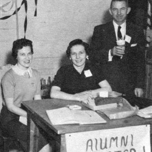 Southside School Homecoming
 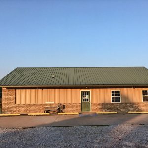 Southside Vet Clinic
 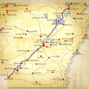 Southwest Trail
 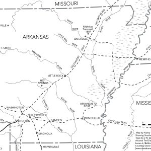 Southwest Trail
 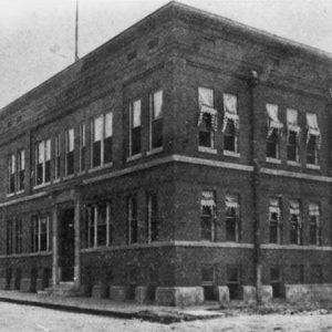 Southwestern Telegraph and Telephone Company
 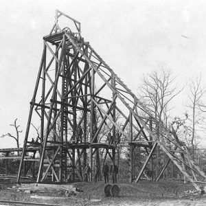 Spadra Mine
 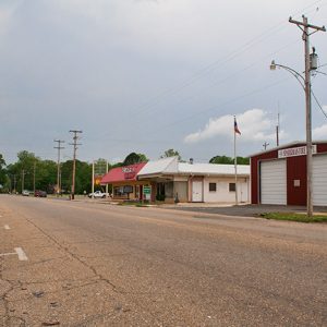 Sparkman
 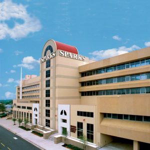 Sparks Regional Medical Center
 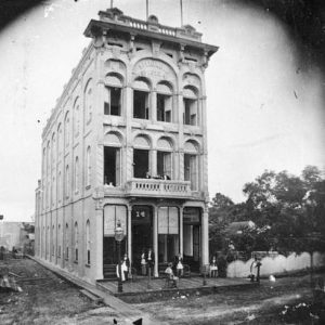 Sperindio Hotel
 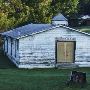 Spring Creek Missionary Baptist
 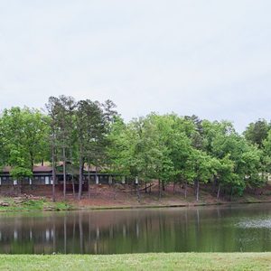 Spring Lake
 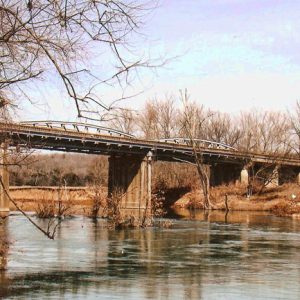 Spring River
 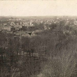 Springdale City Scene
 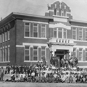 Springdale High School
 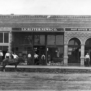 Springdale Newspaper and Post Office
  Springdale Poultry Industry Historic District
 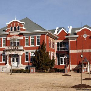 Springdale Public School District Administration Building
 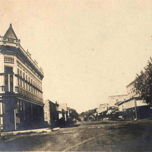 Springdale Street Scene
 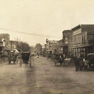 Springdale Street Scene
 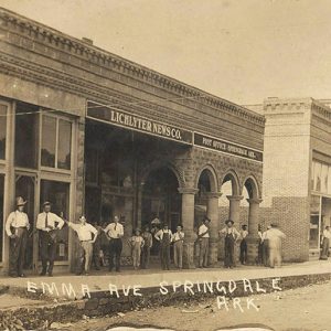 Springdale Street Scene
 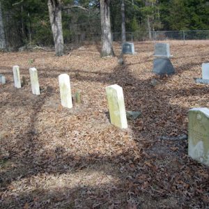 Springfield Cemetery
 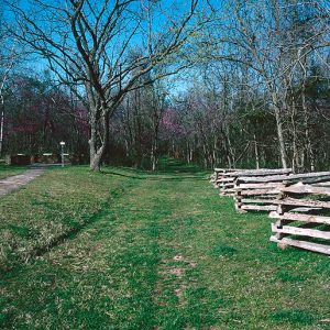 Springfield to Fayetteville Road
 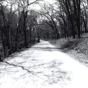 Springfield to Fayetteville Road—Cross Hollow
 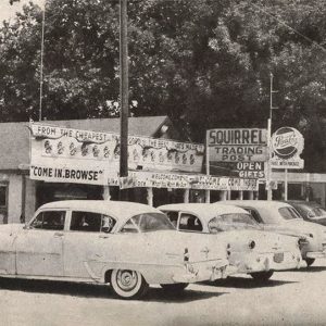 The Squirrel
  St. Agnes Catholic Church
  St. Andrew Rectory
  St. Andrew’s Episcopal Church
  St. Anthony Catholic
 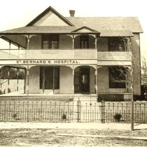 St. Bernards Medical Center
 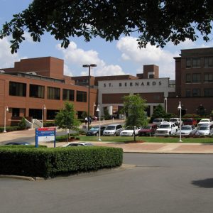 St. Bernards Medical Center
 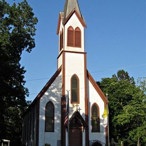 St. Boniface
 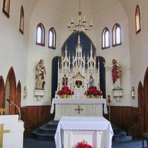 St. Boniface Church
 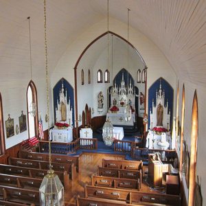 St. Boniface Church
 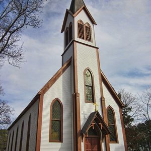 St. Boniface Church


