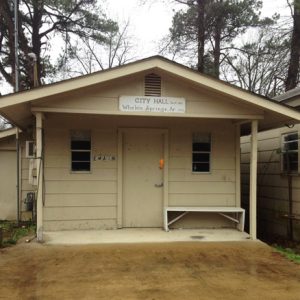
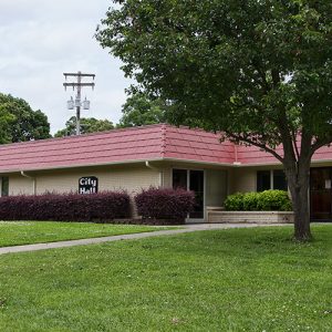
 Whelen Springs City Hall
Entry Type: Place - Starting with W
Whelen Springs City Hall
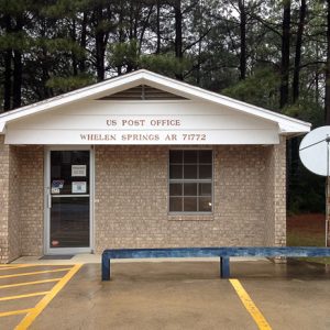 Whelen Springs Post Office
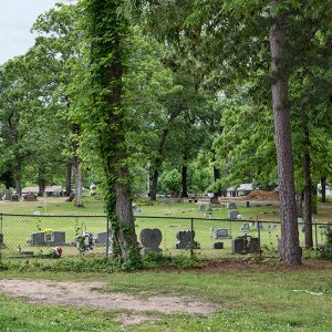
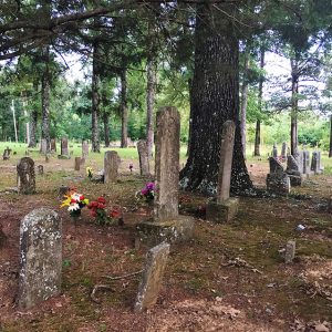 Whisenhunt Cemetery
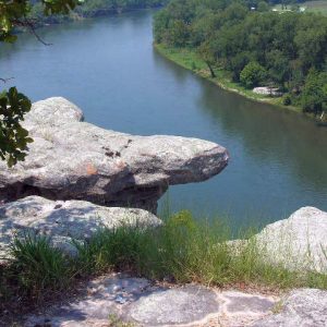
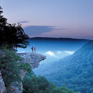 Whitaker Point
 White Bluff Station
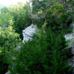 White Cliffs Natural Area
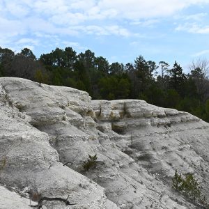 White Cliffs Natural Area
White County
White County is the second largest county in land area in the state. Geographically, it is a microcosm of the state as a whole. The eastern half of the county is alluvial land that today is mostly used for farming and timber production. The western half of the county is rocky higher ground where much of the land is used for dairy and beef cattle ranching. The county seat, Searcy, contains the greatest population and number of industries of any town in the county. Even though the county was formed before statehood, its boundaries have altered little through time. Southeastern White County is mostly farmland and lowland forests. The Little Red River flows northwest to southeast across the county and …
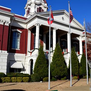 White County Courthouse
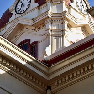 White County Courthouse
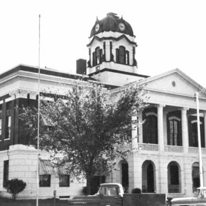 White County Courthouse
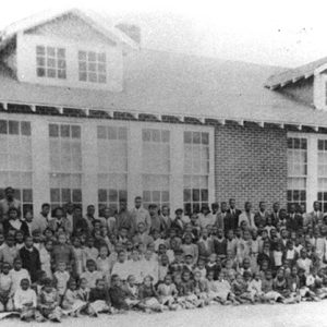 White County Training School
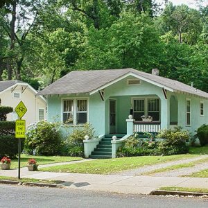
 White Hall
 White Hall
White Hall (Jefferson County)
White Hall (once called Grenshaw Springs and Grenshaw “Hall” Springs) is on Arkansas Highway 365 North in Jefferson County. The city developed slowly—first as an early nineteenth-century rest stop for early settlers who were drawn to the pristine water that flowed freely in pools above the ground, then later, during the early twentieth century, as the most direct route for the early Dollarway Road, the first paved (concrete) road in Arkansas, which ran approximately 22.2 miles from the city limits of Pine Bluff (Jefferson County) to Little Rock (Pulaski County). During World War II, the United States Army’s Chemical Warfare Division began construction of the Pine Bluff Arsenal on December 4, 1941, near the future city’s northern boundaries. The 6.8 …
 White Hall Cemetery
 White Hall City Hall
 White Hall City Park
 White Hall Water Tower
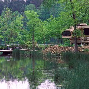
 White Oak Lake Campground
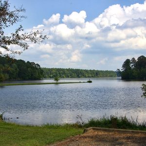
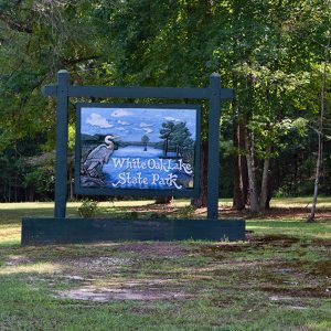
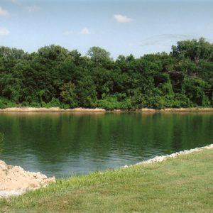
White Oak Lake State Park
White Oak Lake State Park in Ouachita and Nevada counties in southwest Arkansas provides access to fishing on White Oak Lake and other recreational opportunities, including camping, picnicking, hiking, and interpretive programs. The lake contains bass, crappie, catfish, and bream, and the park is also rich in wildlife, including great blue herons, egrets, ospreys, green herons, and bald eagles. The land that is now White Oak Lake and White Oak Lake State Park was acquired by the federal government in the 1930s through the Bankhead-Jones Farm Tenant Act of 1937. This act was intended to assist farmers during the Depression by making it possible for them to own land rather than continuing in tenant arrangements. In 1957, the State of …
 White Oak Lake State Park
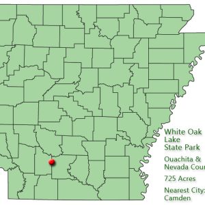 White Oak Lake State Park: Park Location
 White Oak Lake State Park Entrance
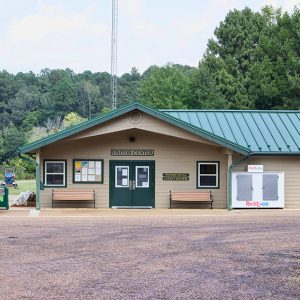 White Oak Lake Visitor Center
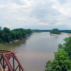
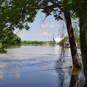 White River
 White River
 White River
 White River at DeValls Bluff
 White River Monster Refuge
 White River Railway
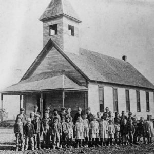 White School
White Sulphur Springs (Garland County)
White Sulphur Springs was a resort area in Garland County constructed close to a number of mineral springs near the southern slope of Indian Mountain. The area eventually became part of Hot Springs (Garland County). The earliest residents of the area were Native Americans. Novaculite located on the west end of Indian Mountain was useful to them. Early white settlers of the area arrived in the 1820s and established a small community along Gulpha Creek. The ruggedness of the area made large-scale agriculture impossible, but small-scale farms were successful. The Houpt family constructed a grist mill next to the creek in 1827. Novaculite quarries on the south side of the mountain provided early settlers with a ready supply of the …
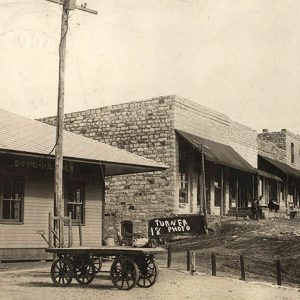
 White Town
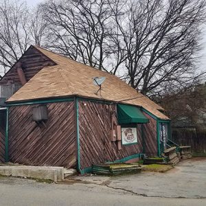
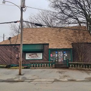 White Water Tavern
 White Water Tavern
 White-Baucum House
 White-Baucum House
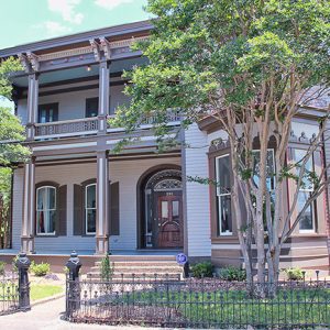 White-Baucum House
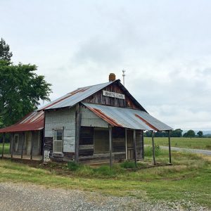
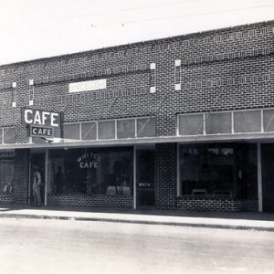 White's Cafe
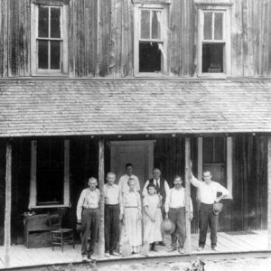 Whiteley’s Hotel
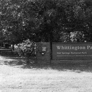
Whittington (Garland County)
Whittington is a community in eastern Garland County located about three-quarters of a mile southwest of Fountain Lake (Garland County) and ten miles northeast of Hot Springs (Garland County) along Arkansas Highway 5. Whittington is not to be confused with Whittington Park located in Hot Springs. Whittington is likely named for early settler Hiram Whittington, who moved to what would become Garland County in 1832. He obtained hundreds of acres of land in the 1830s in the area that would become Whittington, as well as other locations in Garland and Saline counties. Upon his death in 1890, Whittington was buried with other members of his family in the Whittington Cemetery located on Mill Creek Road. After the cemetery experienced vandalism …
Whittington Park Historic District
The Whittington Park Historic District in Hot Springs (Garland County) is located between West Mountain and Sugarloaf Mountain in the northwestern part of the city. This historic neighborhood was listed on the National Register of Historic Places on December 19, 2012, for its significance in community planning and development, ethnic heritage, and social history. It held an important place in the growth of Hot Springs as a health resort, while also reflecting the contributions of African Americans to the area’s health resort industry and serving as an exemplar of a successful racially diverse, working-class neighborhood. It further holds significance for its array of architectural styles, including Craftsman, Queen Anne, and ranch-style homes, as well as for evidence of the work …
 Whittington Park Historic District
 Whittington Park Historic District
Wickes (Polk County)
Wickes is a city in southern Polk County. Built along the Kansas City Southern Railway (KCS) around the beginning of the twentieth century, Wickes is now dominated by the poultry industry. The 2010 census noted its population as more than fifty percent Hispanic. Western Arkansas was heavily forested and sparsely populated until late in the nineteenth century, when the growth of railroads promoted the success of the timber industry. In the last decade of that century, Arthur E. Stilwell was head of the Kansas City, Pittsburg and Gulf Railroad (later the KCS). His company created and acquired a network of railroads linking various locations in Missouri, Oklahoma (then still called Indian Territory), Arkansas, and eventually Texas and Louisiana. The company …
Widener (St. Francis County)
Widener is a town in St. Francis County between Crowley’s Ridge and the St. Francis River. It is on State Highways 38 and 50 and is crossed by the Union Pacific Railroad. Widener was the birthplace of blues legend Luther Allison. Between the Louisiana Purchase and the Civil War, the area around present-day Widener was not attractive to American settlers, being swampy lowlands. Surveyors passed through the area while planning a railroad to connect Little Rock (Pulaski County) to Memphis, Tennessee. Although work was done on the eastern and western portion of the railroad before the Civil War, the central portion of the Memphis and Little Rock Railroad was not built until after the war was over; it was completed …
Widner-Magers Farm Historic District
Located near Dell (Mississippi County), the Widner-Magers Farm Historic District is a collection of structures that represent a typical farm in the Arkansas Delta during the Great Depression. Listed on the National Register of Historic Places on January 29, 2007, the district is privately owned. A total of three buildings and three other structures contribute to the district. The land on which the district sits was purchased by Thomas Blackmore on June 17, 1855. This purchase was made due to the passage of the 1850 Swamp Land Act. Blackmore did not reside on the property and eventually sold it. The property had several other owners over the years before W. B. Sizemore bought it in 1878. His son Robert also …
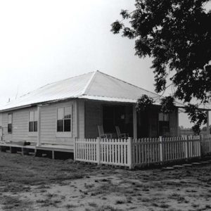 Widner-Magers Farm Historic District
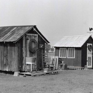 Widner-Magers Farm Historic District


