Levy (Pulaski County)
Levy, which is now a part of North Little Rock (Pulaski County), was named for a prominent Jewish merchant. The community originated as a campground for farmers and drovers traveling the Fort Smith (Sebastian County) road to markets in Little Rock (Pulaski County). In 1892, Levy founder Ernest Stanley opened a general store near the campground north of Argenta. A settlement of industrious working-class people emerged with the opening of Camp Pike in 1917. War preparations at Camp Joseph T. Robinson in 1940 further fueled Levy’s growth, and the Levy Day political rally put it on the map in the 1950s. A municipality from 1917 to 1946, Levy has retained its identity into the twenty-first century. Today, a growing Latino population, plus …
 Lewisburg Bridge
 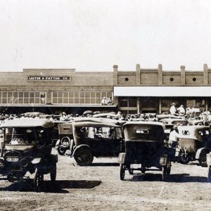 Lewisville (Lafayette County)
 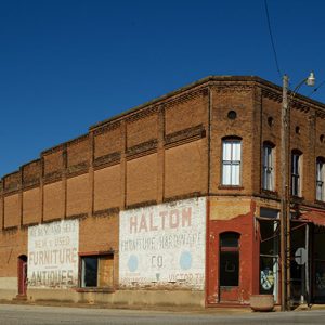 Lewisville Street Scene
 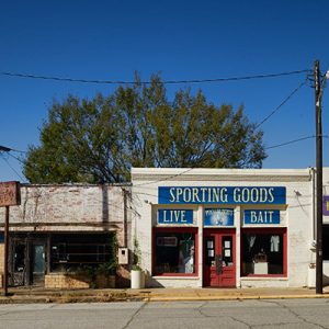 Lewisville Street Scene
 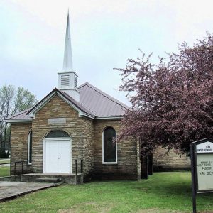 Lexa Church
 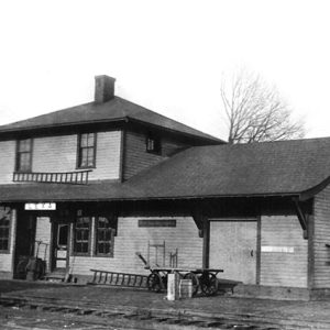 Lexa Depot
 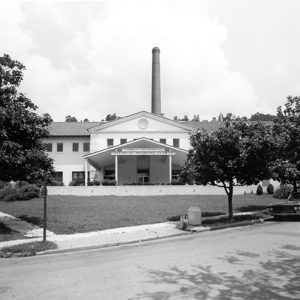 Libbey Memorial Physical Medicine Center
 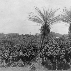 Liberian Coffee Plantation
 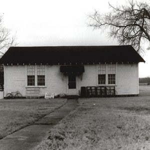 Liberty School Cafeteria
 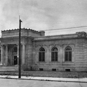 Little Rock Public Library
 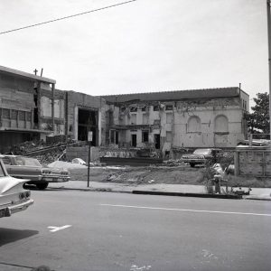 Library Demolition
 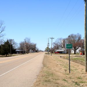 Light
Light 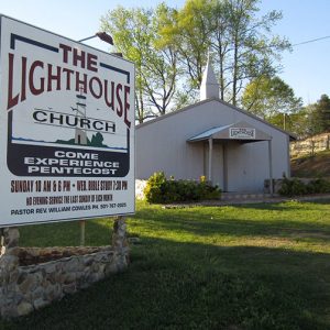 The Lighthouse Church
 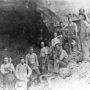 Lime Quarry
 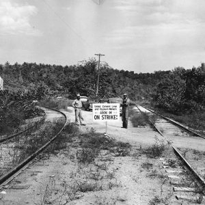 Limedale Plant Strike
 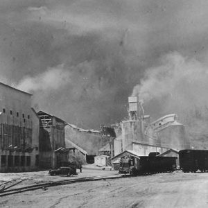 Limedale Lime Plant
 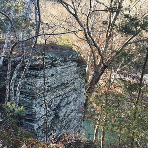 Limestone Formations
 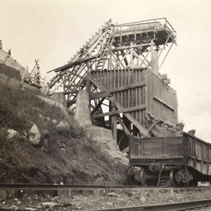 Limestone Quarry
  Lincoln Hotel
  Lincoln American Legion Post
 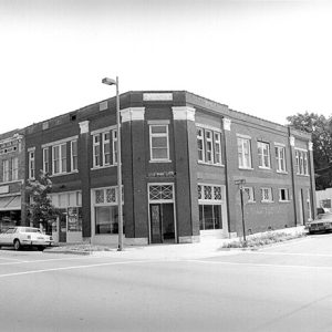 Lincoln Building
 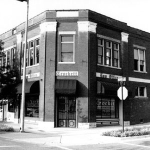 Lincoln Building
 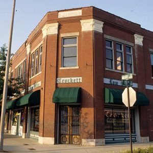 Lincoln Building
 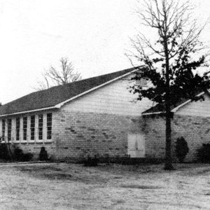 Lincoln High School
 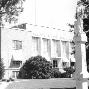 Lincoln County Courthouse
 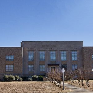 Lincoln County Courthouse
 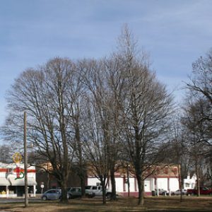 Lincoln Street Scene
 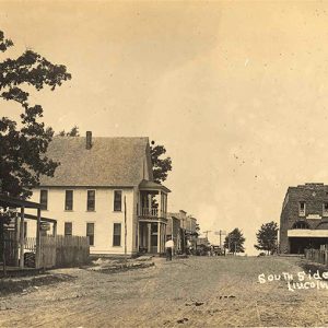 Lincoln Street Scene
 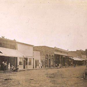 Lincoln Street Scene
 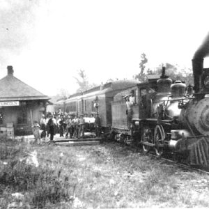 Lincoln Train Depot
 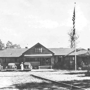 Lion Oil Lodge
  Lion Oil Lodge
 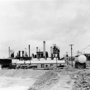 Lion Oil Pump House
 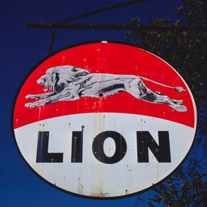 Lion Sign
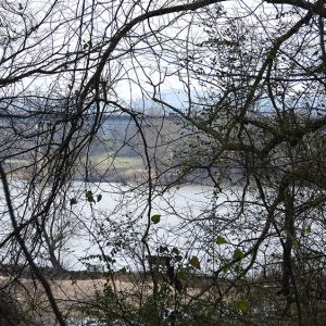
 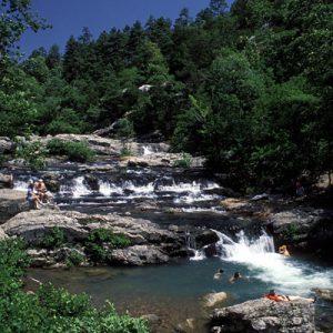 Little Missouri River
 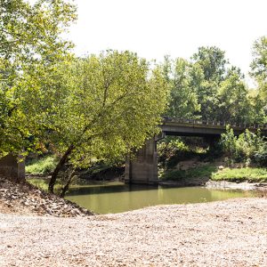 Little Missouri River Access
 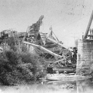 Little Missouri River Bridge Collapse
 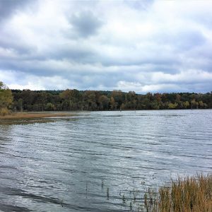 Little Pine Boat Launch


