Weeks (Scott County)
Weeks is an unincorporated community located in northwestern Scott County south of Highway 28. Weeks was established circa 1882 just south of the Poteau River. Agriculture has traditionally been important to the area. Prior to European exploration, Weeks was a wilderness lush with native vegetation and numerous species of wildlife. Archaeological evidence from the Archaic, Woodland, and Mississippian periods has been discovered throughout the area. Additional archaeological evidence has indicated that the Caddo tribe had a strong presence along the Poteau River and other prominent waterways. Throughout the early seventeenth and late eighteenth centuries, French trappers and explorers traveled west from Arkansas Post along the Arkansas River. From there, they began traversing smaller tributaries such as the Fourche La Fave …
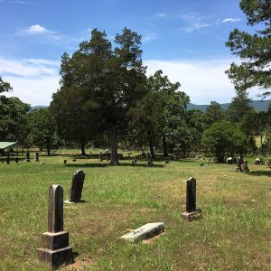 Weeks Cemetery
 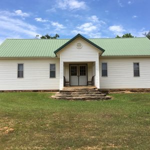 Weeks Community Center
 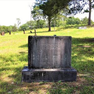 Weeks Headstone
 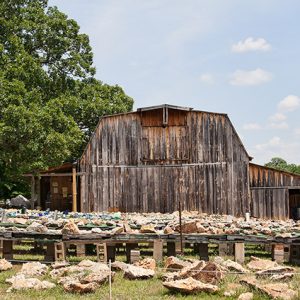 Wegner Crystal Ranch
  John F. Weinmann House, 1951
 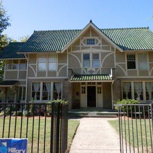 John F. Weinmann House
 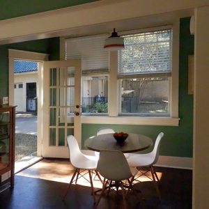 John F. Weinmann House
 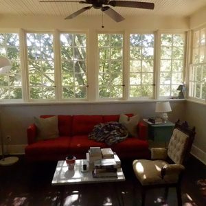 John F. Weinmann House
 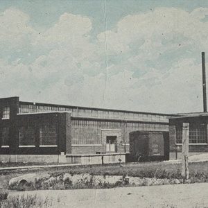 Welch's Factory
 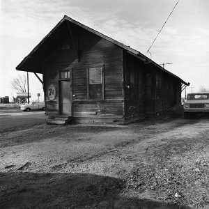 Weldon Depot
 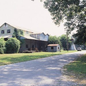 Weldon Gin Company Historic District
 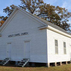 Wesley Chapel
 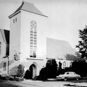 Wesley Chapel United Methodist Church
 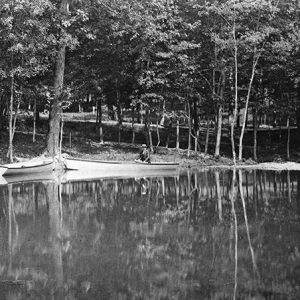 West End Park, 1890
 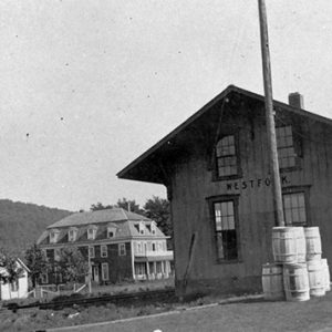 West Fork Depot
 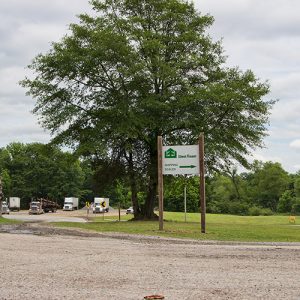 West Fraser Timber
 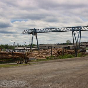 West Fraser Timber
 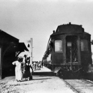 West Memphis Train Station
 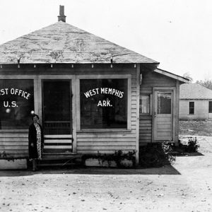 West Memphis Post Office
 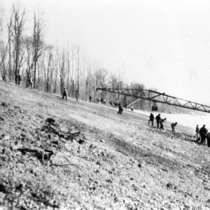 West Memphis
 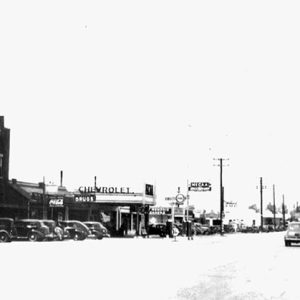 West Memphis, 1930
 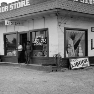 West Memphis; 1935
 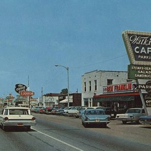 West Memphis Street Scene
 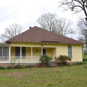 West-Blazer House
 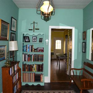 West-Blazer House Interior
 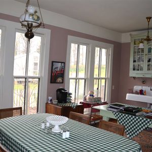 West-Blazer House Interior
 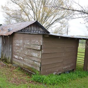 West-Blazer House Outbuildings
 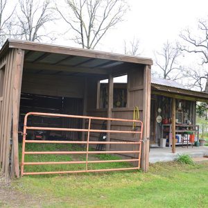 West-Blazer House Outbuildings
 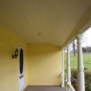 West-Blazer House Porch
 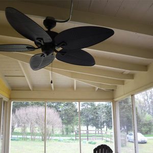 West-Blazer House Porch Fan
 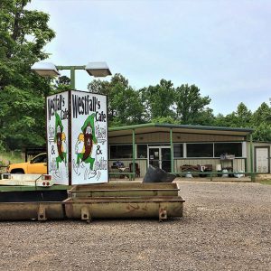 Westfalls Cafe
 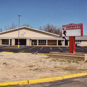 Westside Middle School
 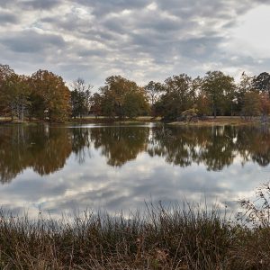 Wetlands at Arkansas Post
 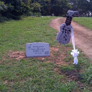 Peetie Wheatstraw Grave Marker
 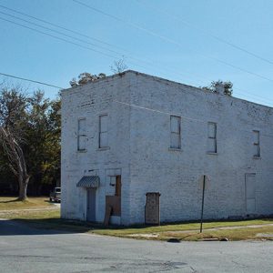 Wheel Store
 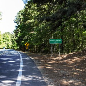 Whelen Springs
 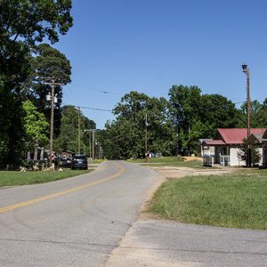 Whelen Springs


