Newhope (Pike County)
Newhope is a community in Pike County located eight miles west of Daisy (Pike County) and Lake Greeson. The earliest settlers in the area included Andrew Cannon, who obtained 400 acres from the Federal Land Office in Camden in the area in 1860 and 1861. Several other settlers also purchased land in the area at the same time, including John Gafford and Henry Haynes in 1860. The first business to open in the area, a store owned by George Copley, opened in 1876. Copley moved to nearby Star of the West and operated the post office. A second store opened in 1878, and a post office opened under the direction of postmaster Levi Forester. Other businesses opened in the community, …
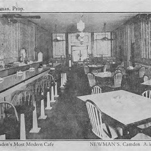 Newman's Cafe
 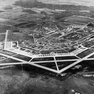 Newport Air Field
 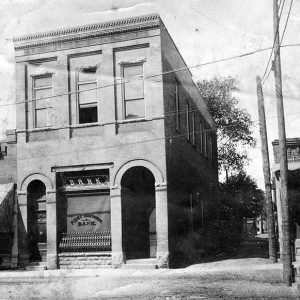 Newport Bank
 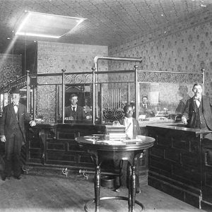 Newport Bank
 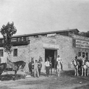 Newport Horse and Mule Market
 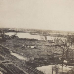 Newport Rail Yards
 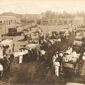 Newport Street Scene
 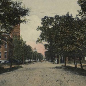 Newport Street Scene
 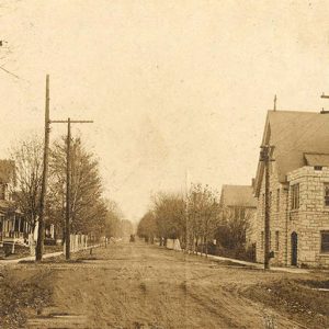 Newport Street Scene
 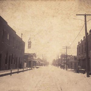 Newport Street Scene
 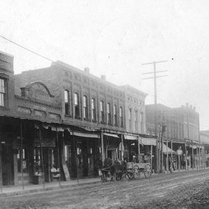 Newport Street Scene
 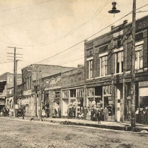 Newport Street Scene
 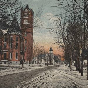 Newport Street Scene
 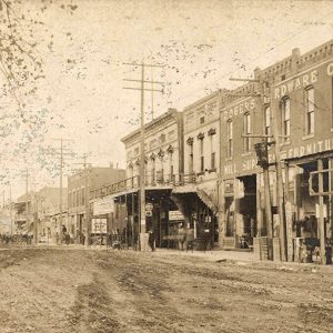 Newport Street Scene
 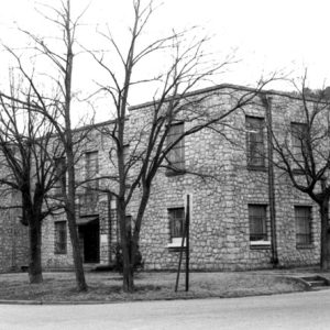 Newton County Courthouse
 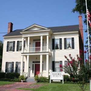 Newton House Museum
 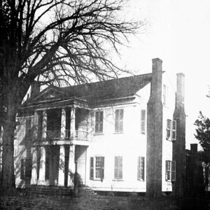 Newton House
 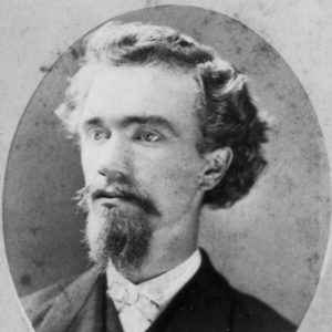 J. H. Niemann
 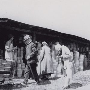 Niloak Customers
 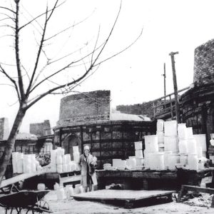 Niloak Kilns
 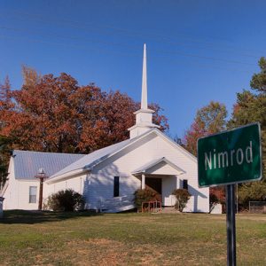 Nimrod Baptist Church
 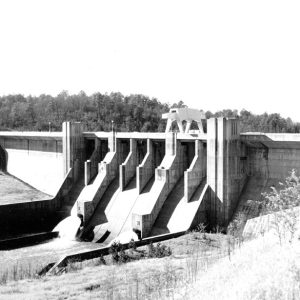 Nimrod Dam
 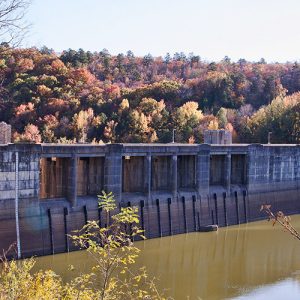 Nimrod Dam
 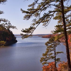 Nimrod Lake
 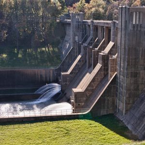 Nimrod Dam
 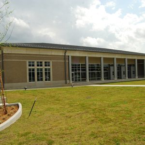 Nixon Library
 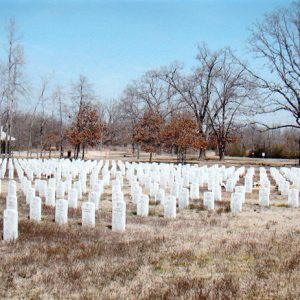 NLR Veterans Cemetery
 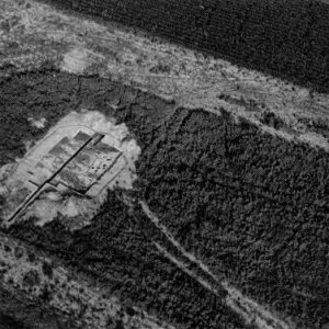 Nodena Site Aerial View
 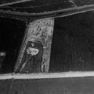 Nodena Site Aerial View
 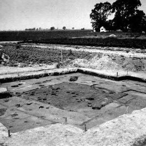 Nodena Site Excavation
 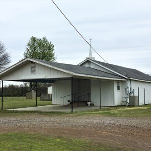 Nola Church of Christ
 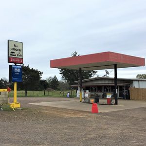 Nola Grocery and Cafe
 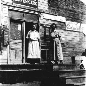 Norfork Post Office
 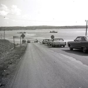 Norfork Lake Ferry
 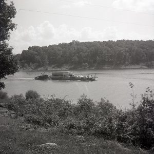 Norfork Lake Ferry Crossing
 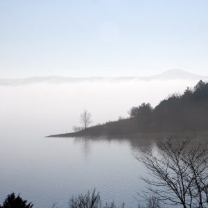 Norfork Lake
 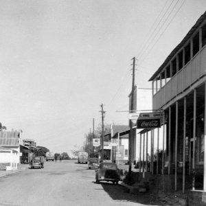 Norfork Street Scene
 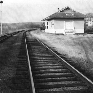 Norfork Train Depot
 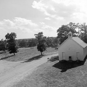 Norick's Chapel


